Old Maps of Warren, Idaho
Explore 11 old maps of Warren, spanning from 1956 to today. These high-resolution historic maps reveal how streets, neighborhoods, landmarks, and natural features evolved over time — perfect for genealogy, metal detecting, research, and local history exploration.
What you can do with these maps:
- See how Warren changed over time: Compare historical maps to modern-day views to trace roads, homesites, rail lines & more.
- View detailed metadata: Each map includes creators, publishers, year, scale, and archive source.
- Overlay maps with satellite & LiDAR: Visualize the past alongside modern tools to explore terrain & human change.
- Trusted historical sources: Maps sourced from the USGS, Library of Congress, and other archives.
- Access maps your way: View online, download high-res files, or order prints for personal or research use.
Start exploring old maps of Warren to uncover forgotten places, hidden landmarks, and the deep history beneath your feet.
Warren, ID maps
(11)- 1956 Map of Warren, 1957 Print
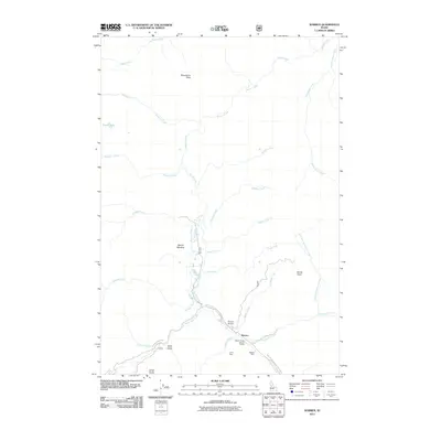
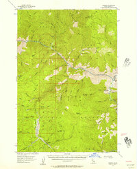 1956 Warren1957 Print · USGSRemote Idaho gold mining camps and wilderness ranches appear in this mid-fifties survey of the Salmon River canyon. Genealogists and researchers can trace the isolated Shep Ranch, the riverside Mackay Bar, and historic mining operations like the War Eagle Mine.3 unique versions available
 - 1956 Map of Elk City, 1963 Print
 1956 Elk City1963 Print · USGSThe Idaho backcountry in the mid-fifties remains a landscape of isolated mining camps and remote forest outposts. Researchers can trace historical mining operations at Stibnite Mine and Blackbird Mine or locate riverside landmarks like Mackay Bar and Campbell's Ferry.3 unique versions available
 - 1960 Map of Elk City
 1960 Elk City1960 Print · USGSThe Central Idaho wilderness and Bitterroot Range are captured here during the peak of mid-century industrial mining. Researchers can trace remote backcountry settlements like Burgdorf and Warren, alongside major mineral sites including the Blackbird Mine and Ima Mine.2 unique versions available
 - 1981 Map of Warren
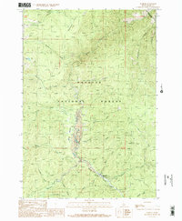
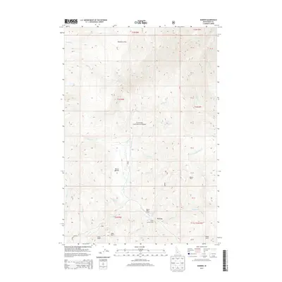
 1981 Warren1981 Print · USGSCentral Idaho’s high backcountry is revealed here in the early eighties, where isolated mining camps and wilderness boundaries met. Genealogists and historians can trace old claims like the Czizek Mine and Red Metals Mine or the remote outpost of Edwardsburg.
 - 1989 Map of Warren, 1990 Print
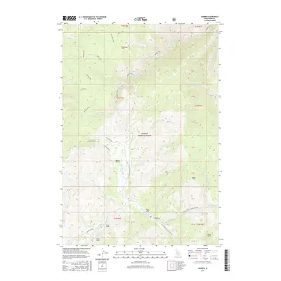
 1989 Warren1990 Print · USGSIdaho’s high-country mining legacy is on full display in the late eighties near Warren, where the landscape is etched by decades of creek-side operations. You can trace the Warren Wagon Road, locate the Mitchell Guard Station, and find numerous tailings sites.2 unique versions available
 - 2004 Map of Warren, 2007 Print
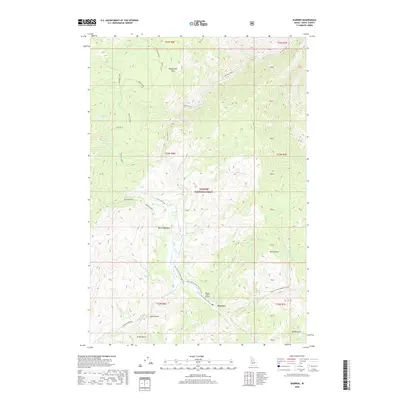
 2004 Warren2007 Print · USGSWarren and its surrounding gold-mining district are captured here in the early 2000s, showing a landscape defined by decades of extraction. Researchers can trace the layout of the Warren townsite, the local Cem, and industrial features like the Rescue Mine and extensive Tailings.
 - 2011 Map of Warren, 2011 Print
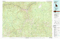
 2011 Warren2011 Print · USGSCovers Warren, including Idaho County, United States, and other nearby areas
 - 2013 Map of Warren, 2013 Print
 2013 Warren2013 Print · USGSCovers Warren, including Idaho County, United States, and other nearby areas
 - 2017 Map of Warren, 2017 Print
 2017 Warren2017 Print · USGSCovers Warren, including Idaho County, United States, and other nearby areas
 - 2020 Map of Warren, 2020 Print
 2020 Warren2020 Print · USGSCovers Warren, including Idaho County, United States, and other nearby areas
 - 2024 Map of Warren, 2024 Print
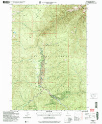
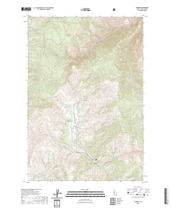 2024 Warren2024 Print · USGSIdaho's high backcountry comes alive in this 2024 survey of the Warren mining district and the surrounding Payette National Forest. Researchers can trace old routes like the Warren Wagon Rd or locate the Warren Cem and Warren Meadow.
End of results
Showing maps 1-11 of 11
Frequently asked questions
- What are the different types of historical maps available for Warren?
- What is the oldest map of Warren?
- Where can I purchase historical maps of Warren for my home or office?
- Where can I download high-res historical maps of Warren?
- Are there historical topographic maps available for Warren?
- Is there historical aerial imagery available for Warren?
- Where are historical maps of Warren sourced from?