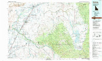
Old Maps of Menan, Idaho for Genealogy
Trace your family roots with 23 historic maps of Menan. These high-res maps reveal old neighborhoods, homesites, landmarks, and streets — helping you uncover where your ancestors lived and how the area evolved over time.
- Explore historic neighborhoods: Identify where your relatives may have lived in the 1800s or 1900s.
- Compare maps over time: Trace the changes in streets, buildings, and landmarks for multi-generational research.
- Perfect for genealogy & ancestry research: Used by family historians and researchers to map out lineage and migration.
These maps are an incredible resource for exploring your personal connection to Menan's past.
Menan, ID maps
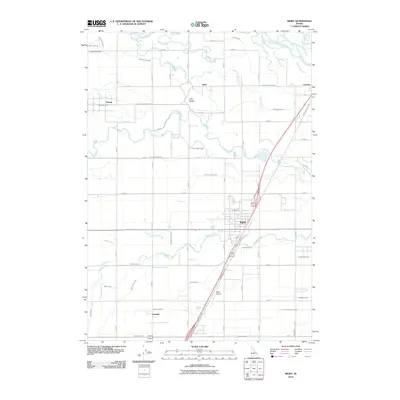
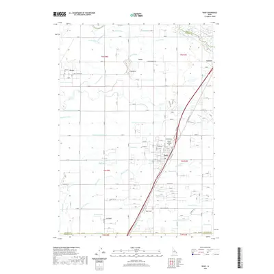
(23)- 1948 Map of Rigby, 1959 Print
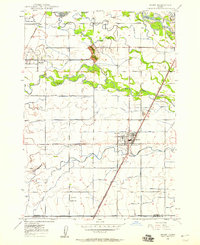 1948 Rigby1959 Print · USGSThe Upper Snake River Valley comes to life in this post-war survey, showing the agricultural engine of Jefferson County. Genealogists and local historians can trace the irrigation network through dozens of named features like the Rigby Canal or locate landmarks such as Garfield Sch and the Little Buttes.
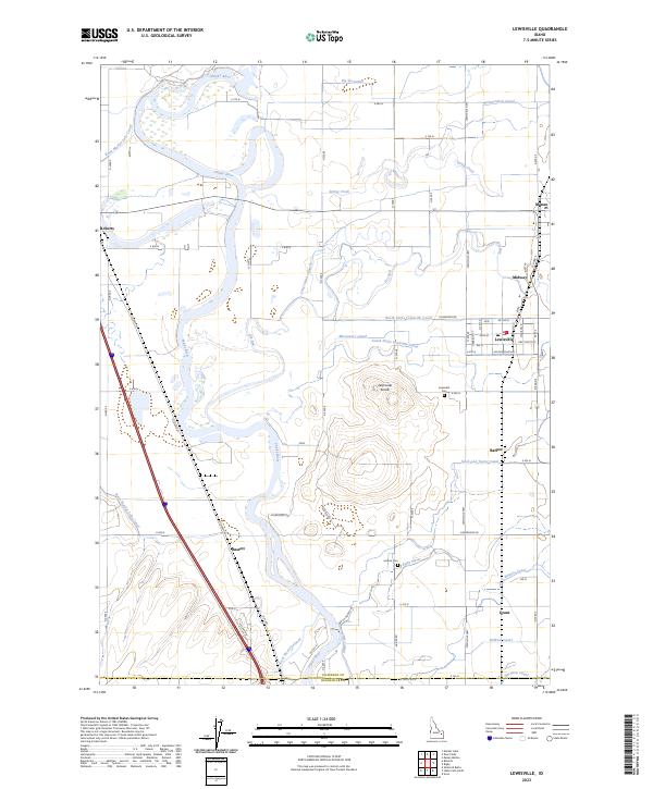
 - 1948 Map of Lewisville, 1959 Print
 1948 Lewisville1959 Print · USGSSoutheastern Idaho's agricultural heartland is captured here in the late 1940s, showing a complex web of canals and riverfront settlements. Researchers can trace family roots through the Lewisville Cemetery, Midway High Sch, and the rail stops at Roberts and Bassett.3 unique versions available
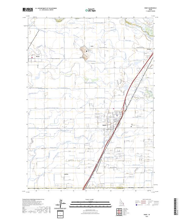
 - 1949 Map of Rigby
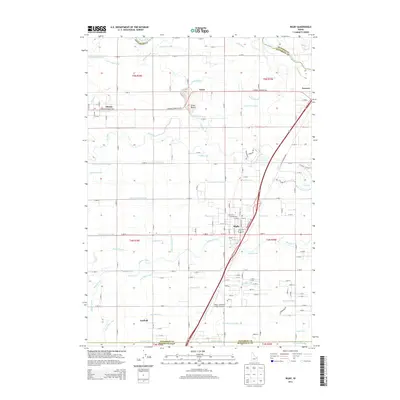
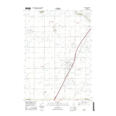
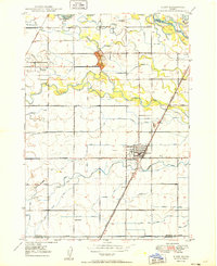 1949 Rigby1949 Print · USGSJefferson County in the late 1940s is defined by a massive irrigation network surrounding Rigby and Menan. Genealogists and historians can trace the paths of the Union Pacific, locate the Garfield Sch, and study the complex system of the Burgess Canal.3 unique versions available
 - 1949 Map of Lewisville
 1949 Lewisville1949 Print · USGSEastern Idaho's irrigation and rail networks are expertly detailed here in the late 1940s as the Snake River valley prospered. Genealogists and local historians can trace the foundations of Lewisville, locate the Central Cem, and find rural landmarks like Grant School.
 - 1949 Map of Roberts, 1959 Print
 1949 Roberts1959 Print · USGSThe Upper Snake River Plain comes alive in the late 1940s, showing a landscape defined by industrial irrigation and rail-side settlements. Genealogists and historians can trace the foundations of local communities at Lewisville Cem, Grant Sch, and Oakland Valley.
 - 1950 Map of Rigby, 1953 Print
 1950 Rigby1953 Print · USGSThe Snake River valley in the early postwar years was a thriving network of irrigated farms and railroad towns. Genealogists and local historians can trace the foundations of Rigby and Ririe, locating vanished landmarks like Bucks Sch (Aband) or Milo Cem.
 - 1955 Map of Idaho Falls, 1963 Print
 1955 Idaho Falls1963 Print · USGSThe Snake River Plain and its surrounding volcanic peaks are captured in the late fifties, showing the region's unique mix of nuclear research and high-desert ranching. Trace the industrial footprint of the National Reactor Testing Station or find old mining sites like Empire Mine.5 unique versions available
 - 1955 Map of Driggs, 1967 Print
 1955 Driggs1967 Print · USGSEastern Idaho and Western Wyoming appear at a mid-century crossroads as the river valleys were fully settled and the high peaks protected. Genealogists and researchers can trace the rail towns of Rexburg and Driggs or follow the Snake River from Irwin to the Palisades Reservoir.3 unique versions available
 - 1958 Map of Driggs
 1958 Driggs1958 Print · USGSThe high Teton peaks and Snake River valleys are captured here in the mid-fifties, showing the region's agricultural and wilderness boundaries. Researchers can trace the Union Pacific rail corridor through Rexburg or locate early settlements like Clementsville and Tetonia.2 unique versions available
 - 1958 Map of Idaho Falls
 1958 Idaho Falls1958 Print · USGSEastern Idaho in the late fifties showcases the rapid expansion of agricultural and scientific outposts across its volcanic plains. Researchers can locate remote sites like Atomic City, mineral interests at White Knob Mine, and the cultural grounds of St Marys Mission.2 unique versions available
 - 1962 Map of Driggs
 1962 Driggs1962 Print · USGSThe Idaho-Wyoming borderlands are captured here in the early sixties, showing the peaks and valleys of the northern Rockies. Genealogists and historians can trace rail lines like the Union Pacific RR and isolated outposts like the National Elk Refuge or the Fort Hall Indian Reservation.
 - 1980 Map of Circular Butte
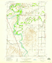
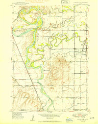
 1980 Circular Butte1980 Print · USGSEastern Idaho at the start of the eighties shows a landscape of federal research and agricultural expansion. Trace the growth of nuclear history at the Idaho National Engineering Laboratory and early settlements like Monteview, Terreton, and Sage Junction.
 - 1988 Map of Rexburg, 1989 Print
 1988 Rexburg1989 Print · USGSThe Upper Snake River Valley in the late eighties shows a region shaped by water and agriculture. Genealogists and historians can locate family plots at the Rexburg Cemetery or trace the early paths of the Union Pacific Railroad through towns like Sugar City and Newdale.
 - 2010 Map of Lewisville, 2010 Print
 2010 Lewisville2010 Print · USGSCovers Menan, including Roberts, Lewisville, and other nearby areas
 - 2010 Map of Rigby, 2010 Print
 2010 Rigby2010 Print · USGSCovers Menan, including Rigby, Garfield, and other nearby areas
 - 2013 Map of Lewisville, 2013 Print
 2013 Lewisville2013 Print · USGSCovers Menan, including Roberts, Lewisville, and other nearby areas
 - 2013 Map of Rigby, 2013 Print
 2013 Rigby2013 Print · USGSCovers Menan, including Rigby, Garfield, and other nearby areas
 - 2017 Map of Rigby, 2017 Print
 2017 Rigby2017 Print · USGSCovers Menan, including Rigby, Garfield, and other nearby areas
 - 2017 Map of Lewisville, 2017 Print
 2017 Lewisville2017 Print · USGSCovers Menan, including Roberts, Lewisville, and other nearby areas
 - 2020 Map of Lewisville, 2020 Print
 2020 Lewisville2020 Print · USGSCovers Menan, including Roberts, Lewisville, and other nearby areas
 - 2020 Map of Rigby, 2020 Print
 2020 Rigby2020 Print · USGSCovers Menan, including Rigby, Garfield, and other nearby areas
 - 2023 Map of Lewisville, 2023 Print
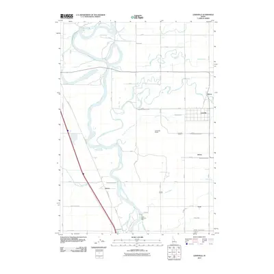
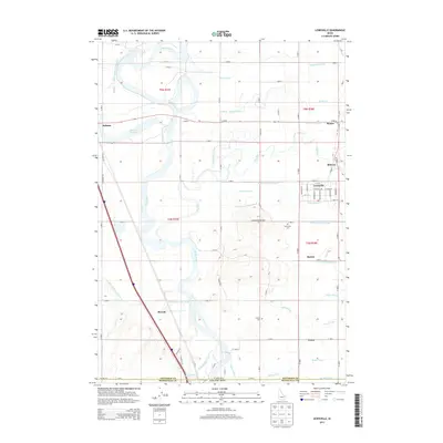
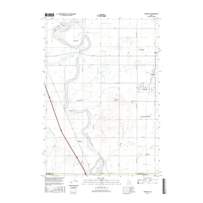
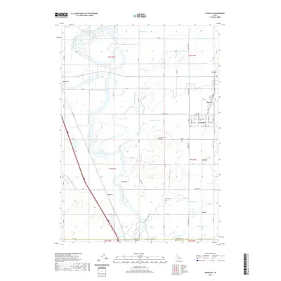
 2023 Lewisville2023 Print · USGSSettlements along the Snake River thrived in the early twenty-first century thanks to a vast network of irrigation canals. Genealogists can locate family sites near Lewisville, Menan, and Grant, or trace landmarks like the Lewisville Knolls and Central Cem.
 - 2024 Map of Rigby, 2024 Print
 2024 Rigby2024 Print · USGSThe Jefferson County plains and the city of Rigby are shown here in the 2020s, highlighting a highly developed network of canals and agricultural infrastructure. Researchers can trace the layout of local landmarks like the Jefferson County Courthouse and Rigby Pioneer Cem, or follow the course of the Snake River past Lorenzo.
End of results
Showing maps 1-23 of 23
Top cities near Menan
- Idaho Falls historical maps
- Rexburg historical maps
- Ammon historical maps
- Rigby historical maps
- Sugar City historical maps
- Iona historical maps
See more
Frequently asked questions
- What are the different types of historical maps available for Menan?
- What is the oldest map of Menan?
- Where can I purchase historical maps of Menan for my home or office?
- Where can I download high-res historical maps of Menan?
- Are there historical topographic maps available for Menan?
- Is there historical aerial imagery available for Menan?
- Where are historical maps of Menan sourced from?