Old Maps of Ririe, Idaho
Explore 18 old maps of Ririe, spanning from 1950 to today. These high-resolution historic maps reveal how streets, neighborhoods, landmarks, and natural features evolved over time — perfect for genealogy, metal detecting, research, and local history exploration.
What you can do with these maps:
- See how Ririe changed over time: Compare historical maps to modern-day views to trace roads, homesites, rail lines & more.
- View detailed metadata: Each map includes creators, publishers, year, scale, and archive source.
- Overlay maps with satellite & LiDAR: Visualize the past alongside modern tools to explore terrain & human change.
- Trusted historical sources: Maps sourced from the USGS, Library of Congress, and other archives.
- Access maps your way: View online, download high-res files, or order prints for personal or research use.
Start exploring old maps of Ririe to uncover forgotten places, hidden landmarks, and the deep history beneath your feet.
Ririe, ID maps
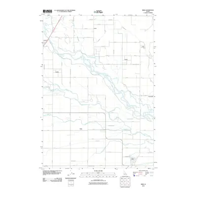
(18)- 1950 Map of Ririe
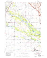 1950 Ririe1950 Print · USGSSoutheast Idaho at mid-century reveals a landscape transformed by the Snake River and its vast irrigation network. Researchers can trace family ties through Ririe and Sunnydell, or locate rural landmarks like Clark Sch and Sutton Cem.3 unique versions available
 - 1950 Map of Rigby, 1953 Print
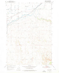
 1950 Rigby1953 Print · USGSThe Snake River valley in the early postwar years was a thriving network of irrigated farms and railroad towns. Genealogists and local historians can trace the foundations of Rigby and Ririe, locating vanished landmarks like Bucks Sch (Aband) or Milo Cem.
 - 1950 Map of Rigby SE, 1976 Print
 1950 Rigby SE1976 Print · USGSBonneville County irrigation and upland farming are documented here just after the war, showing the complex canal systems of the Upper Snake River Valley. Genealogists can locate family sites near the Shelton Ward Church, Milo Cemetery, and the Bucks Sch (Aband).2 unique versions available
 - 1951 Map of Rigby SE
 1951 Rigby SE1951 Print · USGSSoutheast of Rigby in the early 1950s, this Idaho landscape shows a community built around complex irrigation and the Union Pacific rail line. Researchers can trace family sites at Milo Cemetery or locate the Shelton Ward Church and the formerly active Bucks Sch (Aband).
 - 1955 Map of Driggs, 1967 Print
 1955 Driggs1967 Print · USGSEastern Idaho and Western Wyoming appear at a mid-century crossroads as the river valleys were fully settled and the high peaks protected. Genealogists and researchers can trace the rail towns of Rexburg and Driggs or follow the Snake River from Irwin to the Palisades Reservoir.3 unique versions available
 - 1958 Map of Driggs
 1958 Driggs1958 Print · USGSThe high Teton peaks and Snake River valleys are captured here in the mid-fifties, showing the region's agricultural and wilderness boundaries. Researchers can trace the Union Pacific rail corridor through Rexburg or locate early settlements like Clementsville and Tetonia.2 unique versions available
 - 1962 Map of Driggs
 1962 Driggs1962 Print · USGSThe Idaho-Wyoming borderlands are captured here in the early sixties, showing the peaks and valleys of the northern Rockies. Genealogists and historians can trace rail lines like the Union Pacific RR and isolated outposts like the National Elk Refuge or the Fort Hall Indian Reservation.
 - 1988 Map of Rexburg, 1989 Print
 1988 Rexburg1989 Print · USGSThe Upper Snake River Valley in the late eighties shows a region shaped by water and agriculture. Genealogists and historians can locate family plots at the Rexburg Cemetery or trace the early paths of the Union Pacific Railroad through towns like Sugar City and Newdale.
 - 2010 Map of Rigby SE, 2010 Print
 2010 Rigby SE2010 Print · USGSCovers Ririe, including Bonneville County, United States, and other nearby areas
 - 2010 Map of Ririe, 2010 Print
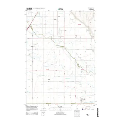
 2010 Ririe2010 Print · USGSCovers Ririe, including Bonneville County, Madison County, and other nearby areas
 - 2013 Map of Ririe, 2013 Print
 2013 Ririe2013 Print · USGSCovers Ririe, including Bonneville County, Madison County, and other nearby areas
 - 2013 Map of Rigby SE, 2013 Print
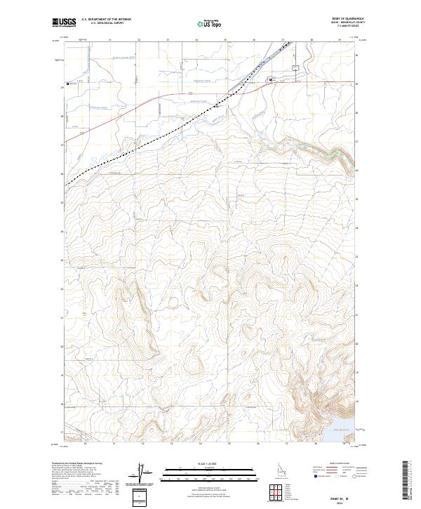
 2013 Rigby SE2013 Print · USGSCovers Ririe, including Bonneville County, United States, and other nearby areas
 - 2017 Map of Rigby SE, 2017 Print
 2017 Rigby SE2017 Print · USGSCovers Ririe, including Bonneville County, United States, and other nearby areas
 - 2017 Map of Ririe, 2017 Print
 2017 Ririe2017 Print · USGSCovers Ririe, including Bonneville County, Madison County, and other nearby areas
 - 2020 Map of Rigby SE, 2020 Print
 2020 Rigby SE2020 Print · USGSCovers Ririe, including Bonneville County, United States, and other nearby areas
 - 2020 Map of Ririe, 2020 Print
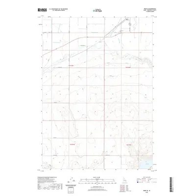
 2020 Ririe2020 Print · USGSCovers Ririe, including Bonneville County, Madison County, and other nearby areas
 - 2024 Map of Rigby SE, 2024 Print
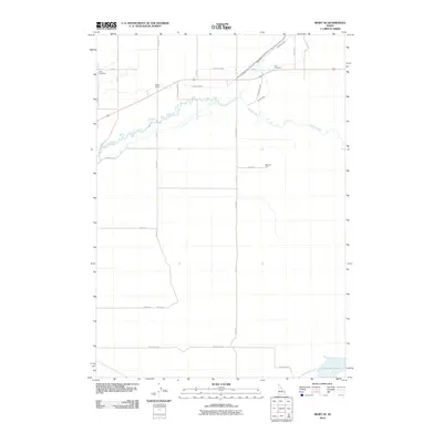
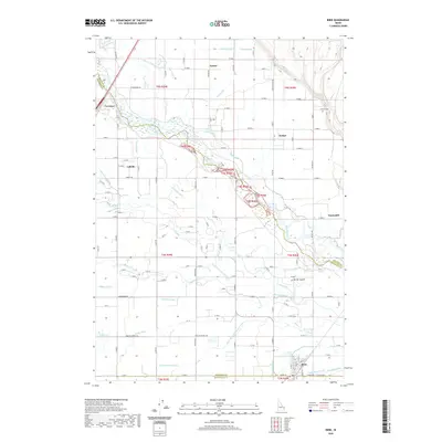
 2024 Rigby SE2024 Print · USGSIrrigation and agriculture define this Idaho landscape in the early twenty-first century, showing the intricate canal networks near the Bonneville county line. Researchers can trace local history through the Milo Cem, Ririe Cem, and the waters of Ririe Reservoir.
 - 2024 Map of Ririe, 2024 Print
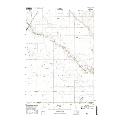
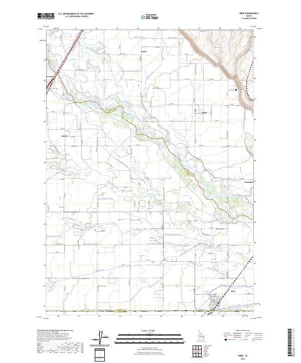 2024 Ririe2024 Print · USGSThe irrigation-rich plains of eastern Idaho come alive in this survey, showing the interconnected water systems of the Snake River and Ririe. Researchers can trace local heritage through sites like Sutton Cem and the early settlements of Lorenzo, Lyman, and Archer.
End of results
Showing maps 1-18 of 18
Top cities near Ririe
- Idaho Falls historical maps
- Rexburg historical maps
- Ammon historical maps
- Rigby historical maps
- Iona historical maps
- Ucon historical maps
See more
Frequently asked questions
- What are the different types of historical maps available for Ririe?
- What is the oldest map of Ririe?
- Where can I purchase historical maps of Ririe for my home or office?
- Where can I download high-res historical maps of Ririe?
- Are there historical topographic maps available for Ririe?
- Is there historical aerial imagery available for Ririe?
- Where are historical maps of Ririe sourced from?