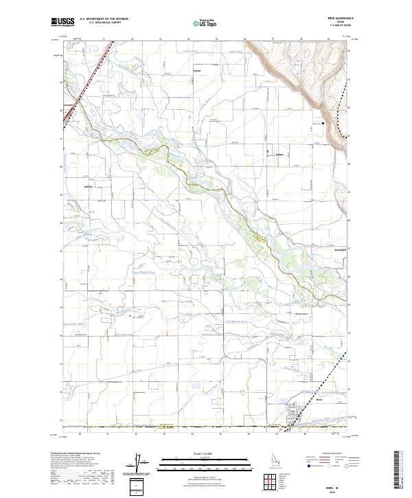
2024 Map of Ririe
USGS Topo · Published 2024About this map
Ririe stands as the primary hub in this eastern Idaho landscape where Jefferson Co meets Bonneville Co. The region is defined by an intricate network of irrigation and natural waterways branching from the Snake River, including Texas Slough, Bannock Jim Slough, and the Lenroot Canal. This complex hydrography reflects the area's agricultural foundation, with the Farmers Friend Canal and Harrison Canal supporting the surrounding plains.
Find a feature on this map
52 named features on this map. Tap any name to fly to it.
Don’t see what you’re looking for? This feature index may not catch every label — zoom into the map to look around manually.
Map Details
Editions of this 2024 Ririe Map
This is the sole edition of this map. No revisions or reprints were ever made.
Other maps of this area

1948 · Rigby
USGS Topo · 1:24,000

1948 · Ucon
USGS Topo · 1:24,000

1949 · Ucon
USGS Topo · 1:24,000

1949 · Rexburg
USGS Topo · 1:24,000

1949 · Rigby
USGS Topo · 1:24,000

1950 · Ririe
USGS Topo · 1:24,000

1950 · Rexburg
USGS Topo · 1:24,000

1950 · Rigby
USGS Topo · 1:62,500

1950 · Rigby SE
USGS Topo · 1:24,000

1951 · Rigby SE
USGS Topo · 1:24,000