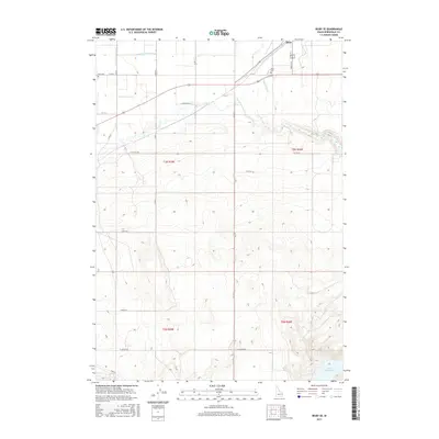
2017 Map of Rigby SE
USGS Topo · Published 2017About this map
The town of Ririe anchors this 2017 landscape, where the high desert terrain of eastern Idaho meets an intricate network of irrigation systems essential to local agriculture. A complex lattice of waterways, including the Farmers Friend Canal, S Br Harrison Canal, and Anderson Canal, underscores the region's reliance on managed water to support the valley's farms. To the southeast, the terrain transitions into more dramatic elevations surrounding the Ririe Reservoir, a significant modern landmark that reshaped the hydrology of the area.
Find a feature on this map
27 named features on this map. Tap any name to fly to it.
Don’t see what you’re looking for? This feature index may not catch every label — zoom into the map to look around manually.
Map Details
Editions of this 2017 Rigby SE Map
This is the sole edition of this map. No revisions or reprints were ever made.
Other maps of this area

1924 · Hell Creek
USGS Topo · 1:62,500

1924 · Ammon
USGS Topo · 1:62,500

1926 · Hell Creek
USGS Topo · 1:62,500

1948 · Rigby
USGS Topo · 1:24,000

1948 · Ucon
USGS Topo · 1:24,000

1949 · Ucon
USGS Topo · 1:24,000

1949 · Rigby
USGS Topo · 1:24,000

1950 · Ririe
USGS Topo · 1:24,000

1950 · Rigby
USGS Topo · 1:62,500

1950 · Rigby SE
USGS Topo · 1:24,000