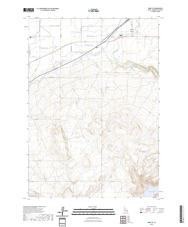
2024 Map of Rigby SE
USGS Topo · Published 2024About this map
Willow Creek meanders through this portion of Bonneville County, illustrating a complex landscape of water management and agricultural development. The terrain is defined by an extensive network of irrigation infrastructure, including the Farmers Friend Canal, Enterprise Canal, and Anderson Canal, which divert water to support the surrounding fields. These engineering efforts, along with the South Branch Harrison Canal and Sidehill Ditch, reveal how local settlers transformed the arid Idaho soil into productive farmland.
Find a feature on this map
24 named features on this map. Tap any name to fly to it.
Don’t see what you’re looking for? This feature index may not catch every label — zoom into the map to look around manually.
Map Details
Editions of this 2024 Rigby SE Map
This is the sole edition of this map. No revisions or reprints were ever made.
Other maps of this area

1924 · Hell Creek
USGS Topo · 1:62,500

1924 · Ammon
USGS Topo · 1:62,500

1926 · Hell Creek
USGS Topo · 1:62,500

1948 · Rigby
USGS Topo · 1:24,000

1948 · Ucon
USGS Topo · 1:24,000

1949 · Ucon
USGS Topo · 1:24,000

1949 · Rigby
USGS Topo · 1:24,000

1950 · Ririe
USGS Topo · 1:24,000

1950 · Rigby
USGS Topo · 1:62,500

1950 · Rigby SE
USGS Topo · 1:24,000