Old Maps of Roberts, Idaho for Hiking & Exploration
Hike through history with 18 historic maps of Roberts. Explore old trails, ghost towns, and forgotten backroads — perfect for outdoor adventurers and local explorers.
- Rediscover forgotten places: Map out old mining camps, roads, and footpaths that no longer exist on modern maps.
- Layer with modern tools: Combine with LiDAR or satellite views to plan hikes through historical terrain.
- Made for exploration: Popular among hikers, overlanders, and local history lovers.
Use these maps to find adventure and explore the hidden past of Roberts.
Roberts, ID maps
(18)- 1948 Map of Lewisville, 1959 Print
 1948 Lewisville1959 Print · USGSSoutheastern Idaho's agricultural heartland is captured here in the late 1940s, showing a complex web of canals and riverfront settlements. Researchers can trace family roots through the Lewisville Cemetery, Midway High Sch, and the rail stops at Roberts and Bassett.3 unique versions available
 - 1949 Map of Lewisville
 1949 Lewisville1949 Print · USGSEastern Idaho's irrigation and rail networks are expertly detailed here in the late 1940s as the Snake River valley prospered. Genealogists and local historians can trace the foundations of Lewisville, locate the Central Cem, and find rural landmarks like Grant School.
 - 1949 Map of Roberts, 1959 Print
 1949 Roberts1959 Print · USGSThe Upper Snake River Plain comes alive in the late 1940s, showing a landscape defined by industrial irrigation and rail-side settlements. Genealogists and historians can trace the foundations of local communities at Lewisville Cem, Grant Sch, and Oakland Valley.
 - 1949 Map of Roberts, 1966 Print
 1949 Roberts1966 Print · USGSIn the Idaho high desert at the close of the 1940s, the village of Roberts stands at the intersection of rail and water. Local researchers can trace the detailed irrigation network of Mc Carthy Ditch and the Union Pacific line as it skirts Market Lake.4 unique versions available
 - 1950 Map of Roberts
 1950 Roberts1950 Print · USGSMid-century Jefferson County agriculture is centered on the settlement of Roberts during a period of heavy reliance on rail and irrigation. Researchers can trace the path of the Union Pacific or the complex water network of Taylor Slough and Larsen Ditch.
 - 1955 Map of Idaho Falls, 1963 Print
 1955 Idaho Falls1963 Print · USGSThe Snake River Plain and its surrounding volcanic peaks are captured in the late fifties, showing the region's unique mix of nuclear research and high-desert ranching. Trace the industrial footprint of the National Reactor Testing Station or find old mining sites like Empire Mine.5 unique versions available
 - 1958 Map of Idaho Falls
 1958 Idaho Falls1958 Print · USGSEastern Idaho in the late fifties showcases the rapid expansion of agricultural and scientific outposts across its volcanic plains. Researchers can locate remote sites like Atomic City, mineral interests at White Knob Mine, and the cultural grounds of St Marys Mission.2 unique versions available
 - 1980 Map of Circular Butte
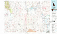 1980 Circular Butte1980 Print · USGSEastern Idaho at the start of the eighties shows a landscape of federal research and agricultural expansion. Trace the growth of nuclear history at the Idaho National Engineering Laboratory and early settlements like Monteview, Terreton, and Sage Junction.
 - 2010 Map of Roberts, 2010 Print
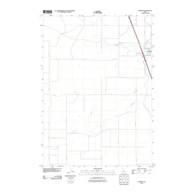 2010 Roberts2010 Print · USGSJefferson County agricultural lands near the Snake River are captured here at the start of the decade. Genealogists and local historians can trace the irrigation history of Roberts through features like Butte Market Lake Canal and Taylor Slough.
 - 2010 Map of Lewisville, 2010 Print
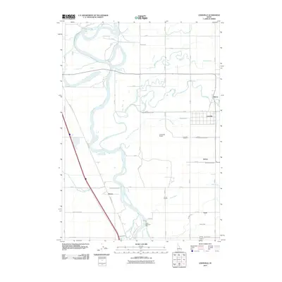 2010 Lewisville2010 Print · USGSEastern Idaho's irrigation history is on full display in this 2010 survey of the settlements north of Idaho Falls. Local researchers can trace family landmarks like Lewisville Cemetery or follow the intricate paths of the Idaho Canal and Butte Market Lake Canal.
 - 2013 Map of Roberts, 2013 Print
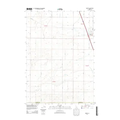 2013 Roberts2013 Print · USGSRoberts and the surrounding Jefferson County farmland are mapped here during the early twenty-first century. Genealogists and local historians can trace the irrigation network through features like the Butte Market Lake Canal and Taylor Slough.
 - 2013 Map of Lewisville, 2013 Print
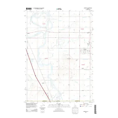 2013 Lewisville2013 Print · USGSUpper Snake River Valley communities thrive amid a complex irrigation network during the early twenty-first century. Genealogists and local historians can trace family plots at Lewisville Cem or locate old water rights along the Missionary Canal and Great Western Canal.
 - 2017 Map of Lewisville, 2017 Print
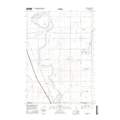 2017 Lewisville2017 Print · USGSJefferson County agricultural life is on full display in this recent survey of the irrigation-rich lands surrounding the Snake River. Researchers can trace family roots through the grids of Lewisville and Menan, or locate legacy sites like Lewisville Cem and the Lewisville Knolls.
 - 2017 Map of Roberts, 2017 Print
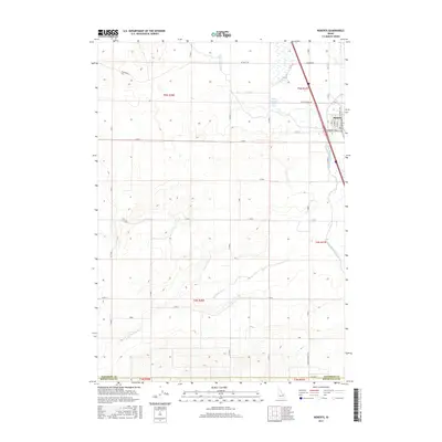 2017 Roberts2017 Print · USGSIdaho's Snake River Plain agriculture is on full display in this contemporary look at the Jefferson County area. Genealogists and historians can trace the vital water routes and local roads that shaped this community, including Butte Market Lake Canal, Taylor Slough, and Old Hwy 91.
 - 2020 Map of Roberts, 2020 Print
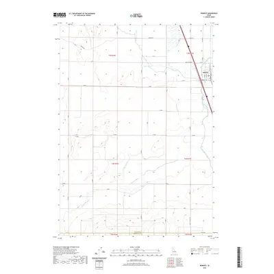 2020 Roberts2020 Print · USGSThe rural agricultural corridor of Jefferson County comes into focus in this recent survey of Roberts. Genealogists and local historians can trace the network of vital waterways like Butte Market Lake Canal and Taylor Slough that have shaped this high-desert farming community.
 - 2020 Map of Lewisville, 2020 Print
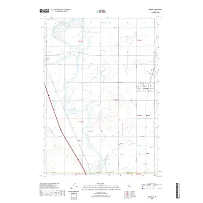 2020 Lewisville2020 Print · USGSJefferson County's agricultural heartland is revealed in the early twenty-first century, where the Snake River feeds a complex grid of historic irrigation canals. Researchers can trace family roots through the namesake Lewisville Cem, or explore the old settlements of Roberts, Menan, and Bassett.
 - 2023 Map of Roberts, 2023 Print
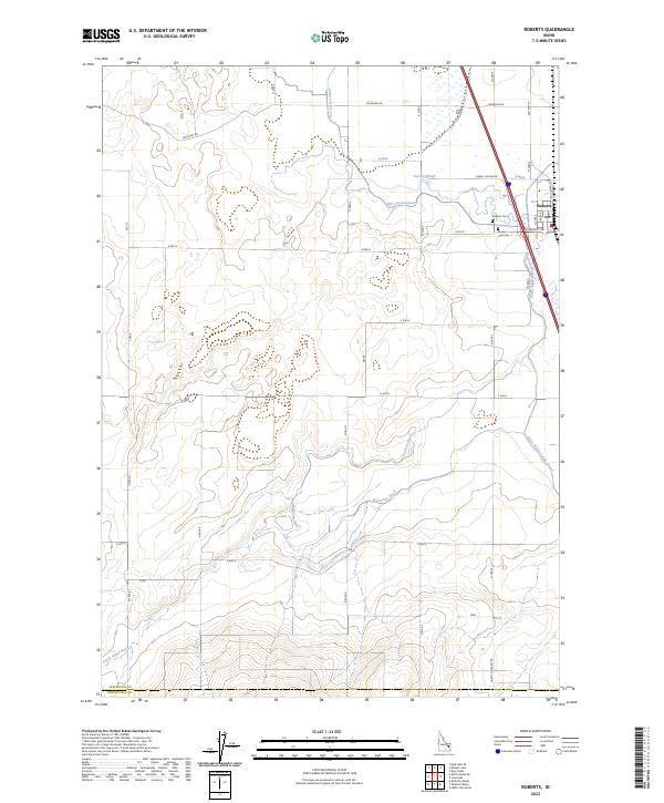 2023 Roberts2023 Print · USGSThe agricultural landscape surrounding the town of Roberts is documented here in the early twenty-first century. Researchers can trace the extensive irrigation network through Butte Market Lake Canal and locate family history at Market Lake Cem or Roberts Cem.
 - 2023 Map of Lewisville, 2023 Print
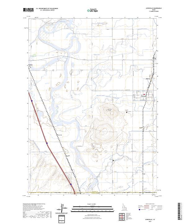 2023 Lewisville2023 Print · USGSSettlements along the Snake River thrived in the early twenty-first century thanks to a vast network of irrigation canals. Genealogists can locate family sites near Lewisville, Menan, and Grant, or trace landmarks like the Lewisville Knolls and Central Cem.
End of results
Showing maps 1-18 of 18
Top cities near Roberts
- Idaho Falls historical maps
- Ammon historical maps
- Rigby historical maps
- Iona historical maps
- Ucon historical maps
- Menan historical maps
See more
Frequently asked questions
- What are the different types of historical maps available for Roberts?
- What is the oldest map of Roberts?
- Where can I purchase historical maps of Roberts for my home or office?
- Where can I download high-res historical maps of Roberts?
- Are there historical topographic maps available for Roberts?
- Is there historical aerial imagery available for Roberts?
- Where are historical maps of Roberts sourced from?