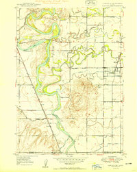
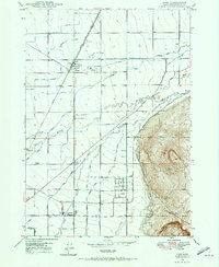
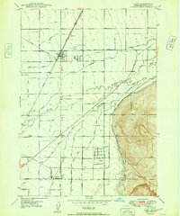
1949 Map of Lewisville
USGS Topo · Published 1949About this map
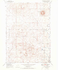
The Snake River carves a meandering path through this Jefferson County landscape, where a sophisticated network of irrigation canals has transformed the terrain for agriculture. Settlements like Lewisville, Roberts, and Menan are connected by the Union Pacific railroad, which runs parallel to the river's western bank. The intensity of local water management is evident in the dense concentration of named waterways, including the Big Six Canal, Long Island Canal, and the Dry Bed.
Find a feature on this map
38 named features on this map. Tap any name to fly to it.
Don’t see what you’re looking for? This feature index may not catch every label — zoom into the map to look around manually.
Map Details
Editions of this 1949 Lewisville Map
This is the sole edition of this map. No revisions or reprints were ever made.
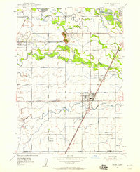
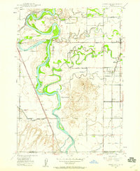
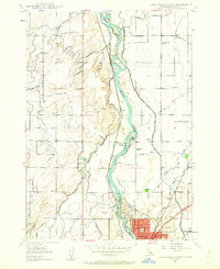
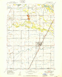
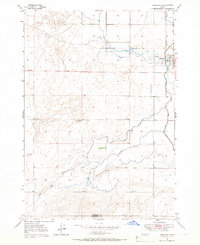
Other maps of this area
1948 · Rigby
USGS Topo · 1:24,000
1948 · Lewisville
USGS Topo · 1:24,000
1948 · Idaho Falls North
USGS Topo · 1:24,000
1948 · Ucon
USGS Topo · 1:24,000
1949 · Ucon
USGS Topo · 1:24,000

1949 · Idaho Falls North
USGS Topo · 1:24,000
1949 · Rigby
USGS Topo · 1:24,000

1949 · Roberts
USGS Topo · 1:62,500
1949 · Roberts
USGS Topo · 1:24,000
1949 · Shattuck Butte
USGS Topo · 1:24,000