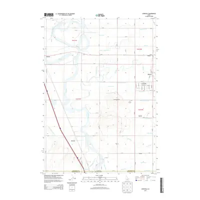
2013 Map of Lewisville
USGS Topo · Published 2013About this map
The Snake River dominates the western portion of this Idaho landscape, carving through the Snake River Valley as it flows past the small settlements of Roberts and Bassett. In the eastern half, the grid-iron street plan of Lewisville serves as a local hub, with its residential blocks and historic Lewisville Cem situated just north of the distinctive Lewisville Knolls geologic formation.
Find a feature on this map
81 named features on this map. Tap any name to fly to it.
Don’t see what you’re looking for? This feature index may not catch every label — zoom into the map to look around manually.
Map Details
Editions of this 2013 Lewisville Map
This is the sole edition of this map. No revisions or reprints were ever made.
Other maps of this area

1948 · Rigby
USGS Topo · 1:24,000

1948 · Lewisville
USGS Topo · 1:24,000

1948 · Idaho Falls North
USGS Topo · 1:24,000

1948 · Ucon
USGS Topo · 1:24,000

1949 · Ucon
USGS Topo · 1:24,000

1949 · Idaho Falls North
USGS Topo · 1:24,000

1949 · Rigby
USGS Topo · 1:24,000

1949 · Lewisville
USGS Topo · 1:24,000

1949 · Roberts
USGS Topo · 1:62,500

1949 · Roberts
USGS Topo · 1:24,000