Old Maps of McGuire, Post Falls for Academic Research
Study the evolution of McGuire with 12 high-resolution historic maps. Whether you're teaching, researching, or modeling changes in land use, these maps provide essential visual documentation of urban, environmental, and geographic change.
- Analyze long-term change: Track patterns in development, transportation, and natural features.
- Ideal for environmental or urban studies: Support academic projects with primary historical map data.
- Use in the classroom or lab: Educators and researchers rely on these maps to bring historical context to life.
These maps are a powerful tool for teaching, research, and visualizing how McGuire has changed over the decades.
McGuire, Post Falls maps
(12)- 1903 Map of Rathdrum
 1903 Rathdrum1903 Print · USGSNorthern Idaho's transition from frontier outposts to a rail-and-timber economy is visible here just after the turn of the century. Researchers can trace the early layout of Rathdrum, locate Fort Sherman, and follow the Leiberg Trail through the mountains.4 unique versions available
 - 1955 Map of Spokane, 1965 Print
 1955 Spokane1965 Print · USGSInland Empire life in the fifties and sixties centers on the growth of Spokane and the heavy mining industry of northern Idaho. Trace mid-century landmarks like Fairchild Air Force Base, the Bunker Hill Mine, and early campuses such as Gonzaga University.2 unique versions available
 - 1957 Map of Coeur D'Alene, 1959 Print
 1957 Coeur D'Alene1959 Print · USGSCoeur d'Alene and the Spokane River are captured here in the late fifties, showing a bustling landscape of timber mills and rail junctions. Researchers can trace the lines of the Great Northern railroad through Grand Junction or locate family sites near Evergreen Cemetery and Cloverleaf Grange.2 unique versions available
 - 1958 Map of Spokane
 1958 Spokane1958 Print · USGSThe Inland Empire is shown at a mid-century peak of industrial and military activity, from the rail hubs of Spokane to the deep silver mines of northern Idaho. Researchers can trace the sprawling rail lines of the Union Pacific RR or locate landmarks like Fairchild Air Force Base and the Bunker Hill Smelter & Mine.
 - 1975 Map of Coeur D'Alene NW, 1980 Print
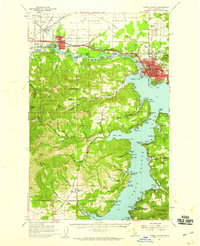
 1975 Coeur D'Alene NW1980 Print · USGSPost Falls and the Kootenai area are captured in the mid-seventies just as suburban development began to reshape the landscape. Local researchers can trace the growth of Post Falls and the wooded terrain surrounding the Spokane River and Cougar Creek.
 - 1981 Map of Post Falls, 1982 Print
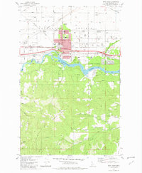 1981 Post Falls1982 Print · USGSPost Falls and the Spokane River are captured here in the early eighties as industrial growth and suburban expansion began to reshape the Idaho landscape. Genealogists and local historians can trace the foundations of the community through landmarks like Evergreen Cemetery, Seltice Sch, and the rail junction at McGuire.2 unique versions available
 - 1987 Map of Coeur D'Alene
 1987 Coeur D'Alene1987 Print · USGSNorthern Idaho in the late eighties shows a landscape of deep-water lakes and heavy industry where the timber and mining economies meet growing valley settlements. Genealogists and historians can trace the footprints of the Sunshine Mine, the rail sidings at Corbin Junction, and the historic Old Mission State Park.3 unique versions available
 - 2010 Map of Post Falls, 2010 Print
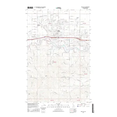
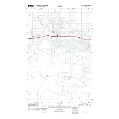 2010 Post Falls2010 Print · USGSCovers McGuire, including Post Falls, Kootenai County, and other nearby areas
 - 2013 Map of Post Falls, 2013 Print
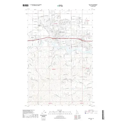
 2013 Post Falls2013 Print · USGSCovers McGuire, including Post Falls, Kootenai County, and other nearby areas
 - 2017 Map of Post Falls, 2017 Print
 2017 Post Falls2017 Print · USGSCovers McGuire, including Post Falls, Kootenai County, and other nearby areas
 - 2020 Map of Post Falls, 2020 Print
 2020 Post Falls2020 Print · USGSCovers McGuire, including Post Falls, Kootenai County, and other nearby areas
 - 2024 Map of Post Falls, 2024 Print
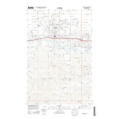
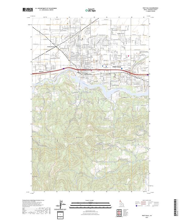 2024 Post Falls2024 Print · USGSPost Falls and the Spokane River corridor are captured here during a period of significant suburban and residential growth. Genealogists can locate Evergreen Cem or trace the Union Pacific RR through Grand Junction and McGuire.
End of results
Showing maps 1-12 of 12
Frequently asked questions
- What are the different types of historical maps available for McGuire?
- What is the oldest map of McGuire?
- Where can I purchase historical maps of McGuire for my home or office?
- Where can I download high-res historical maps of McGuire?
- Are there historical topographic maps available for McGuire?
- Is there historical aerial imagery available for McGuire?
- Where are historical maps of McGuire sourced from?