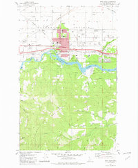
1981 Map of Post Falls
USGS Topo · Published 1982About this map
The Spokane River carves through the center of this landscape, separating the industrial and residential growth of Post Falls from the steep, timbered slopes of Blossom Mountain. In the early 1980s, the community's transition is evident in the infrastructure clustered near the river, including a Powerhouse, Gaging Station, and Boat Ramp at Black Bay. To the north, the expanse of the Rathdrum Prairie is defined by a grid of agricultural and transport corridors, where the Burlington Northern and Spokane International railroads intersect near Grand Junction. Local civic life is well-documented through markers like the Evergreen Cemetery, Seltice Sch, and the McGuire-Wesleyan Church in the small settlement of McGuire. The emergence of Interstate 90 underscores the area's increasing connectivity between regional hubs during this era.
Find a feature on this map
48 named features on this map. Tap any name to fly to it.
Don’t see what you’re looking for? This feature index may not catch every label — zoom into the map to look around manually.
Map Details
Editions of this 1981 Post Falls Map
2 editions found
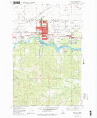
Other maps of this area

1901 · Spokane
USGS Topo · 1:125,000

1903 · Rathdrum
USGS Topo · 1:125,000

1943 · Mt Spokane
USGS Topo · 1:62,500

1949 · Greenacres
USGS Topo · 1:62,500

1950 · Mt Spokane
USGS Topo · 1:62,500

1951 · Greenacres
USGS Topo · 1:62,500

1955 · Spokane
USGS Topo · 1:250,000

1957 · Coeur D'Alene
USGS Topo · 1:62,500

1958 · Spokane
USGS Topo · 1:250,000

1961 · Hayden
USGS Topo · 1:24,000