2020s Maps of Lewis County, Idaho
Explore 40 historic maps of Lewis County from the 2020s. These maps offer a rare glimpse into what life looked like during the 2020s — showing old roads, neighborhoods, homes, and landmarks that have changed or disappeared over time.
Whether you're researching your family's past, planning a metal detecting trip, or studying how Lewis County's landscape evolved across the 2020s, these high-resolution maps are a powerful tool for exploring the history of this region.
- Focus on a specific era: All maps on this page are from the 2020s, giving you a focused view of this time period.
- See what’s changed: Compare century-old streets, trails, and buildings to today's modern landscape using overlays and satellite layers.
- Research with precision: Use these maps for genealogy, historical research, land use analysis, or educational projects.
- View, download, or print: Maps are fully viewable online in high resolution, and can be downloaded or printed for your own records.
Start exploring Lewis County's history through authentic maps from the 2020s. This is your window into the past.
Lewis County, ID maps
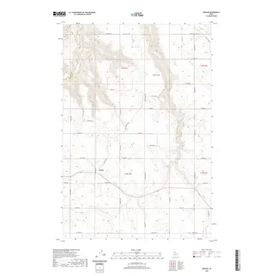
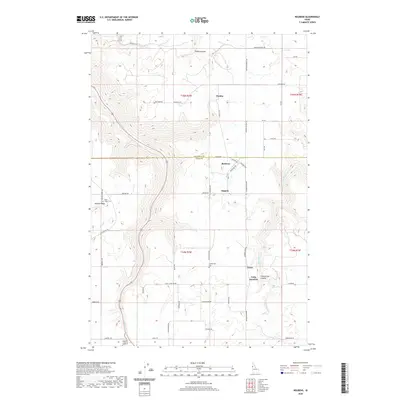
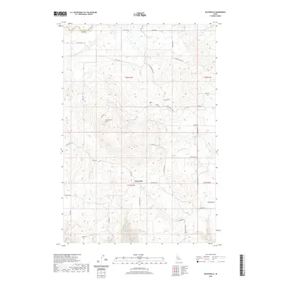
(40)- 2020 Map of Boles, 2020 Print
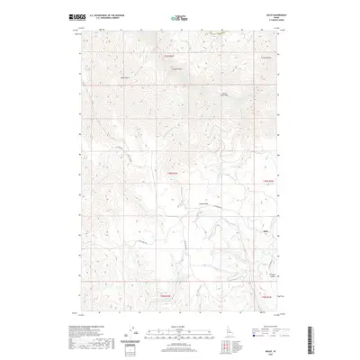 2020 Boles2020 Print · USGSCovers Lewis County, including Idaho County, United States, and other nearby areas
 - 2020 Map of Woodland, 2020 Print
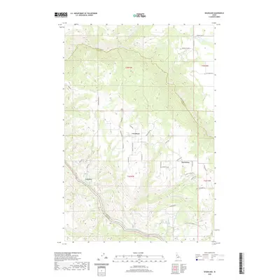 2020 Woodland2020 Print · USGSCovers Lewis County, including Idaho County, Clearwater County, and other nearby areas
 - 2020 Map of Peck, 2020 Print
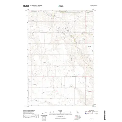 2020 Peck2020 Print · USGSCovers Lewis County, including Peck, Nez Perce County, and other nearby areas
 - 2020 Map of Westlake, 2020 Print
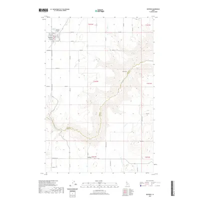
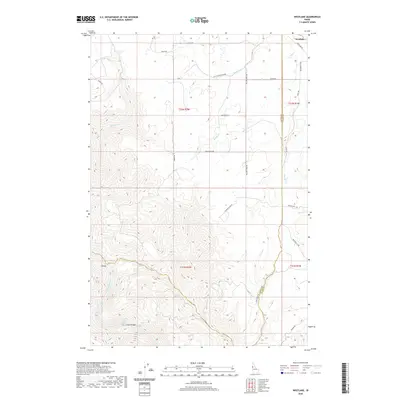 2020 Westlake2020 Print · USGSCovers Lewis County, including Idaho County, United States, and other nearby areas
 - 2020 Map of Mohler, 2020 Print
 2020 Mohler2020 Print · USGSCovers Lewis County, including Howard, Nez Perce County, and other nearby areas
 - 2020 Map of Nezperce, 2020 Print
 2020 Nezperce2020 Print · USGSCovers Lewis County, including Nezperce, Dryden, and other nearby areas
 - 2020 Map of Fletcher, 2020 Print
 2020 Fletcher2020 Print · USGSCovers Lewis County, including Nez Perce County, United States, and other nearby areas
 - 2020 Map of Orofino West, 2020 Print
 2020 Orofino West2020 Print · USGSCovers Lewis County, including Orofino, Nez Perce County, and other nearby areas
 - 2020 Map of Winchester West, 2020 Print
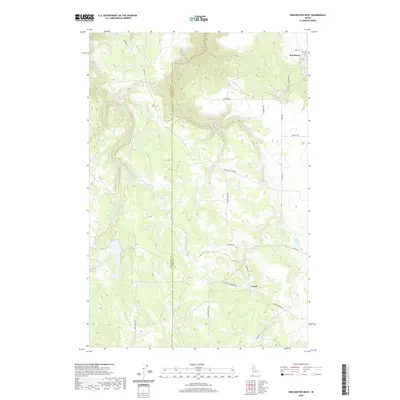 2020 Winchester West2020 Print · USGSCovers Lewis County, including Winchester, Nez Perce County, and other nearby areas
 - 2020 Map of Hoover Point, 2020 Print
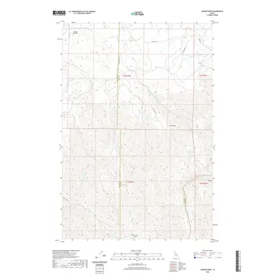 2020 Hoover Point2020 Print · USGSCovers Lewis County, including Nez Perce County, Idaho County, and other nearby areas
 - 2020 Map of Reubens, 2020 Print
 2020 Reubens2020 Print · USGSCovers Lewis County, including Reubens, Nez Perce County, and other nearby areas
 - 2020 Map of Winchester East, 2020 Print
 2020 Winchester East2020 Print · USGSCovers Lewis County, including Winchester, Idaho County, and other nearby areas
 - 2020 Map of Sixmile Creek, 2020 Print
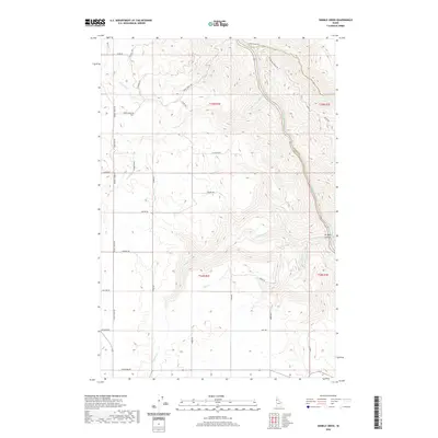 2020 Sixmile Creek2020 Print · USGSCovers Lewis County, including Idaho County, Clearwater County, and other nearby areas
 - 2020 Map of Orofino East, 2020 Print
 2020 Orofino East2020 Print · USGSCovers Lewis County, including Orofino, Clearwater County, and other nearby areas
 - 2020 Map of Craigmont, 2020 Print
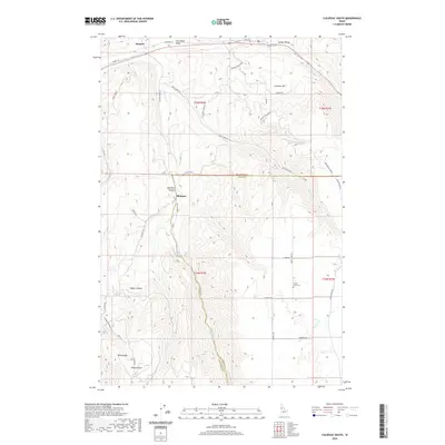
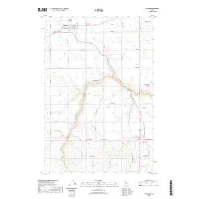 2020 Craigmont2020 Print · USGSCovers Lewis County, including Craigmont, Ferdinand, and other nearby areas
 - 2020 Map of Cottonwood NE, 2020 Print
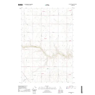 2020 Cottonwood NE2020 Print · USGSCovers Lewis County, including Idaho County, United States, and other nearby areas
 - 2020 Map of Keuterville, 2020 Print
 2020 Keuterville2020 Print · USGSCovers Lewis County, including Idaho County, United States, and other nearby areas
 - 2020 Map of Kamiah, 2020 Print
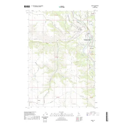 2020 Kamiah2020 Print · USGSCovers Lewis County, including Kamiah, Kamiah, and other nearby areas
 - 2020 Map of Culdesac South, 2020 Print
 2020 Culdesac South2020 Print · USGSCovers Lewis County, including Culdesac, Slickpoo, and other nearby areas
 - 2020 Map of Rattlesnake Ridge, 2020 Print
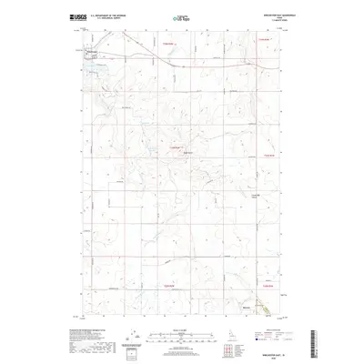
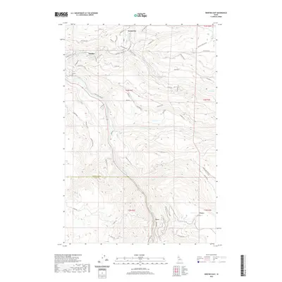
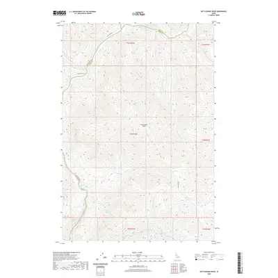 2020 Rattlesnake Ridge2020 Print · USGSCovers Lewis County, including Nez Perce County, Idaho County, and other nearby areas
 - 2024 Map of Fletcher, 2024 Print
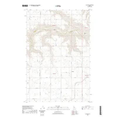
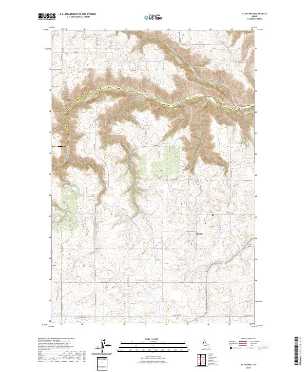 2024 Fletcher2024 Print · USGSThe Idaho panhandle plateau comes into focus here, showing the settlement of Fletcher and the deep cuts of the canyonlands. Researchers can trace family-named roads and locate the Fletcher Cem and the winding course of Big Canyon Creek.
 - 2024 Map of Keuterville, 2024 Print
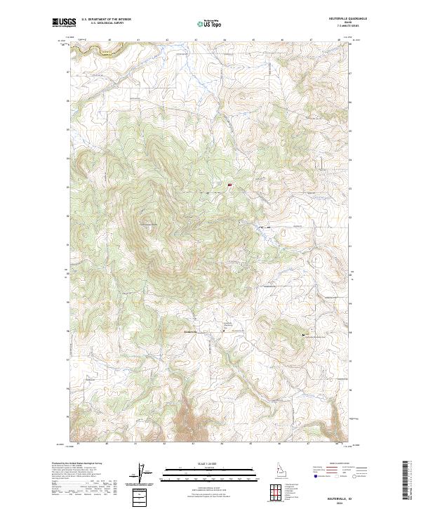 2024 Keuterville2024 Print · USGSThe high plateau of Idaho County comes alive in this contemporary survey of the Camas Prairie region. Local historians can trace family roots through Keuterville and the Saint Gertrudes Monastery Cem while exploring landmarks like Cottonwood Butte.
 - 2024 Map of Orofino East, 2024 Print
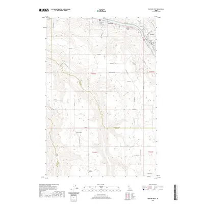
 2024 Orofino East2024 Print · USGSThe Clearwater River canyon and the surrounding Idaho timberlands are documented in this recent survey. Local historians can trace old routes like Gilbert Grade and locate family landmarks such as Hill Cem near Orofino and Fraser.
 - 2024 Map of Winchester West, 2024 Print
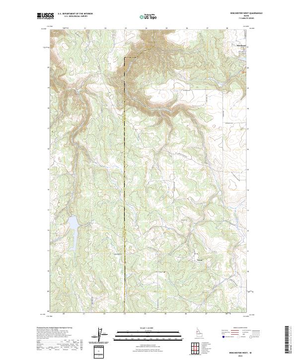 2024 Winchester West2024 Print · USGSThe rural landscapes of Lewis County come into focus in this contemporary survey of the Camas Prairie's western edge. Genealogists and local historians can trace the street grid of Winchester and the winding forest roads that connect the region's high timberlands.
 - 2024 Map of Winchester East, 2024 Print
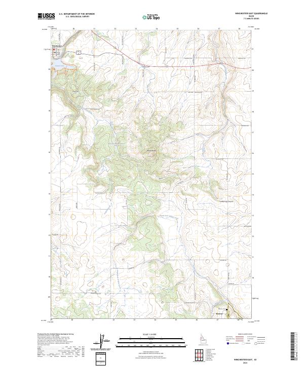 2024 Winchester East2024 Print · USGSLewis County high prairie life is captured here in the contemporary era, showing the transition from agricultural plateaus to deep canyon drainages. Researchers can locate the Morrow Cem, the community of Winchester, and landmarks like Mason Butte and Lapwai Lake.
Showing maps 1-25 of 40
Top cities of Lewis County
Frequently asked questions
- What are the different types of historical maps available for Lewis County?
- What is the oldest map of Lewis County?
- Where can I purchase historical maps of Lewis County for my home or office?
- Where can I download high-res historical maps of Lewis County?
- Are there historical topographic maps available for Lewis County?
- Is there historical aerial imagery available for Lewis County?
- Where are historical maps of Lewis County sourced from?