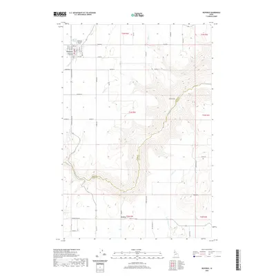
2020 Map of Nezperce
USGS Topo · Published 2020About this map
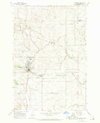
Nezperce serves as the seat of local government, anchored by the Lewis County Courthouse and a grid of streets named for native trees such as Birch St, Walnut St, and Cedar St. North of the town center, the Nez Perce Municipal Airport sits on a high plateau, highlighting the importance of aerial access in this high prairie region. The landscape is defined by deep incisions from waterways like Lawyer Cr and Suzie Cr, which create complex topographic relief across the Camas Prairie.
Find a feature on this map
50 named features on this map. Tap any name to fly to it.
Don’t see what you’re looking for? This feature index may not catch every label — zoom into the map to look around manually.
Map Details
Editions of this 2020 Nezperce Map
This is the sole edition of this map. No revisions or reprints were ever made.
Other maps of this area

1924 · Kamiah
USGS Topo · 1:125,000

1955 · Pullman
USGS Topo · 1:250,000

1958 · Pullman
USGS Topo · 1:250,000
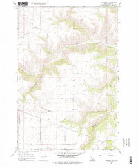
1967 · Nezperce SE
USGS Topo · 1:24,000

1967 · Mohler
USGS Topo · 1:24,000
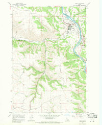
1967 · Kamiah
USGS Topo · 1:24,000
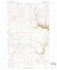
1967 · Nezperce SW
USGS Topo · 1:24,000

1967 · Sixmile Creek
USGS Topo · 1:24,000

1967 · Cottonwood NE
USGS Topo · 1:24,000
1967 · Cottonwood
USGS Topo · 1:24,000