
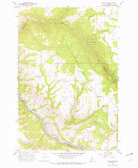
1967 Map of Sixmile Creek
USGS Topo · Published 1971About this map
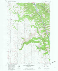
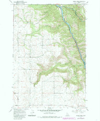
Clearwater River serves as the dominant geographic spine of this Idaho landscape, carving a deep valley that marks the boundary between Lewis, Clearwater, and Idaho counties. The 1960s terrain is characterized by the high, flat expanses of the Camas Prairie giving way to steep, drainage-cut slopes. Waterways such as Lolo Creek, Fivemile Creek, and Sixmile Creek branch through the canyon walls, illustrating the rugged erosion patterns of the region. Most of the southern and western portions of the sheet fall within the Nez Perce Indian Reservation. Human activity is primarily centered on utility and infrastructure, indicated by a Substation in the southwest and several resource extraction sites including a Gravel Pit and multiple locations marked as Borrow Pit. A network of Jeep Trails provides the primary access through the steep timbered draws and onto the elevated plateau.
Find a feature on this map
15 named features on this map. Tap any name to fly to it.
Don’t see what you’re looking for? This feature index may not catch every label — zoom into the map to look around manually.
Map Details
Editions of this 1967 Sixmile Creek Map
3 editions found
Other maps of this area

1924 · Kamiah
USGS Topo · 1:125,000

1955 · Pullman
USGS Topo · 1:250,000

1958 · Pullman
USGS Topo · 1:250,000

1967 · Mohler
USGS Topo · 1:24,000
1967 · Kamiah
USGS Topo · 1:24,000

1967 · Rudo
USGS Topo · 1:24,000

1967 · Cottonwood NE
USGS Topo · 1:24,000

1967 · Orofino West
USGS Topo · 1:24,000
1967 · Nezperce
USGS Topo · 1:24,000
1967 · Woodland
USGS Topo · 1:24,000