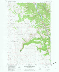
1967 Map of Sixmile Creek
USGS Topo · Published 1983About this map
The Clearwater River carves a deep valley through this northern Idaho landscape, marking the boundary between Lewis and Idaho counties. This 1967 field-checked survey reveals a rugged geography defined by sharp drainage patterns, where Sixmile Creek and Effie Creek feed into the main river channel from the west and south. The high ground of the Camas Prairie overlooks the river's eastern banks, while the western plateau is marked by a scattered infrastructure of a Substation and a series of extractive sites including a Gravel Pit and a Borrow Pit. The map demonstrates the era's reliance on a network of unpaved roads and a Jeep Trail to navigate the steep descent from the timbered ridges down to the water's edge. This document preserves the land's character at a time when industrial footprints were localized to small-scale pits and essential utility crossings.
Find a feature on this map
13 named features on this map. Tap any name to fly to it.
Don’t see what you’re looking for? This feature index may not catch every label — zoom into the map to look around manually.
Map Details
Editions of this 1967 Sixmile Creek Map
3 editions found
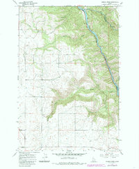
Other maps of this area

1924 · Kamiah
USGS Topo · 1:125,000

1955 · Pullman
USGS Topo · 1:250,000

1958 · Pullman
USGS Topo · 1:250,000

1967 · Mohler
USGS Topo · 1:24,000
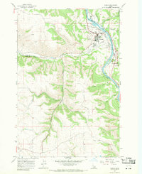
1967 · Kamiah
USGS Topo · 1:24,000

1967 · Sixmile Creek
USGS Topo · 1:24,000

1967 · Rudo
USGS Topo · 1:24,000

1967 · Cottonwood NE
USGS Topo · 1:24,000

1967 · Orofino West
USGS Topo · 1:24,000
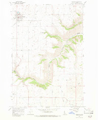
1967 · Nezperce
USGS Topo · 1:24,000