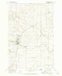
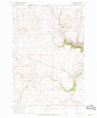
1967 Map of Cottonwood
USGS Topo · Published 1971About this map
The Nez Perce Indian Reservation Boundary cuts through the northern portion of this Idaho landscape, where the agricultural community of Cottonwood serves as the primary hub. Established on the high Camas Prairie, the town layout includes the Prairie Sch, a Water Tank, and a central Substation, while the Cottonwood Municipal Airport and Sewage Disposal Ponds are positioned to the southeast. To the northeast, the smaller settlement of Greencreek sits near the St Anthony Cemetery, illustrating the distributed rural community structure of the late 1960s.
Find a feature on this map
22 named features on this map. Tap any name to fly to it.
Don’t see what you’re looking for? This feature index may not catch every label — zoom into the map to look around manually.
Map Details
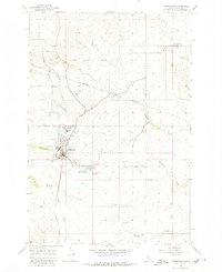
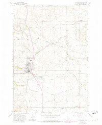
Editions of this 1967 Cottonwood Map
Other maps of this area

1924 · Kamiah
USGS Topo · 1:125,000

1955 · Pullman
USGS Topo · 1:250,000

1955 · Grangeville
USGS Topo · 1:250,000

1958 · Pullman
USGS Topo · 1:250,000

1959 · Grangeville
USGS Topo · 1:250,000

1963 · Grangeville West
USGS Topo · 1:24,000

1963 · Moughmer Point
USGS Topo · 1:24,000
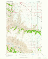
1963 · Fenn
USGS Topo · 1:24,000

1967 · Craigmont
USGS Topo · 1:24,000
1967 · Nezperce SW
USGS Topo · 1:24,000