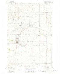
1967 Map of Cottonwood
USGS Topo · Published 1980About this map
Camas Prairie defines the open landscape of this Idaho County plateau, centered on the settlement of Cottonwood. The map documents a structured community during the late 1960s, featuring a concentrated town grid flanked by the Cottonwood Municipal Airport and a central Substation. Local education and faith are represented by landmarks such as St Joseph Sch, Prairie Sch, and the Cottonwood Cemetery.
Find a feature on this map
19 named features on this map. Tap any name to fly to it.
Don’t see what you’re looking for? This feature index may not catch every label — zoom into the map to look around manually.
Map Details
Editions of this 1967 Cottonwood Map
Other maps of this area

1924 · Kamiah
USGS Topo · 1:125,000

1955 · Pullman
USGS Topo · 1:250,000

1955 · Grangeville
USGS Topo · 1:250,000

1958 · Pullman
USGS Topo · 1:250,000

1959 · Grangeville
USGS Topo · 1:250,000
1963 · Grangeville West
USGS Topo · 1:24,000
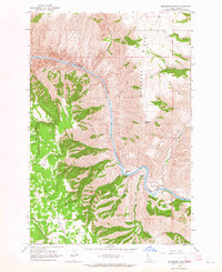
1963 · Moughmer Point
USGS Topo · 1:24,000
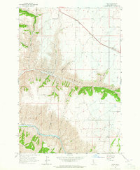
1963 · Fenn
USGS Topo · 1:24,000
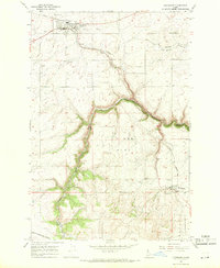
1967 · Craigmont
USGS Topo · 1:24,000
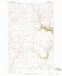
1967 · Nezperce SW
USGS Topo · 1:24,000