
1967 Map of Craigmont
USGS Topo · Published 1971About this map
Camas Prairie defines the high plateau of Lewis County in the late 1960s, where the agricultural landscape meets the deep incisions of Lawyer Creek. This mid-century survey documents the towns of Craigmont and Ferdinand as established rural hubs along Route 95. The map provides specific genealogical details, such as St Maurus Cem and the adjacent St Maurus Sch, alongside the IOOF Cem near Craigmont. The transition from the flat, cultivated expanses of Icicle Flat to the steep, wooded draws of Long Hollow is sharply delineated. Infrastructure like the Municipal Airport and various Gravel Pits reflect the local economy, while the southern margin follows the Nez Perce Indian Reservation Bdy near Willow Creek.
Find a feature on this map
20 named features on this map. Tap any name to fly to it.
Don’t see what you’re looking for? This feature index may not catch every label — zoom into the map to look around manually.
Map Details
Editions of this 1967 Craigmont Map
This is the sole edition of this map. No revisions or reprints were ever made.
Other maps of this area

1924 · Kamiah
USGS Topo · 1:125,000

1955 · Pullman
USGS Topo · 1:250,000

1958 · Pullman
USGS Topo · 1:250,000

1958 · Culdesac
USGS Topo · 1:62,500

1967 · Mohler
USGS Topo · 1:24,000

1967 · Fletcher
USGS Topo · 1:24,000

1967 · Westlake
USGS Topo · 1:24,000
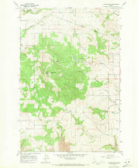
1967 · Keuterville
USGS Topo · 1:24,000

1967 · Cottonwood NE
USGS Topo · 1:24,000
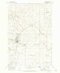
1967 · Cottonwood
USGS Topo · 1:24,000