Old Maps of Sugar City, Idaho for Hiking & Exploration
Hike through history with 31 historic maps of Sugar City. Explore old trails, ghost towns, and forgotten backroads — perfect for outdoor adventurers and local explorers.
- Rediscover forgotten places: Map out old mining camps, roads, and footpaths that no longer exist on modern maps.
- Layer with modern tools: Combine with LiDAR or satellite views to plan hikes through historical terrain.
- Made for exploration: Popular among hikers, overlanders, and local history lovers.
Use these maps to find adventure and explore the hidden past of Sugar City.
Sugar City, ID maps
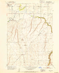
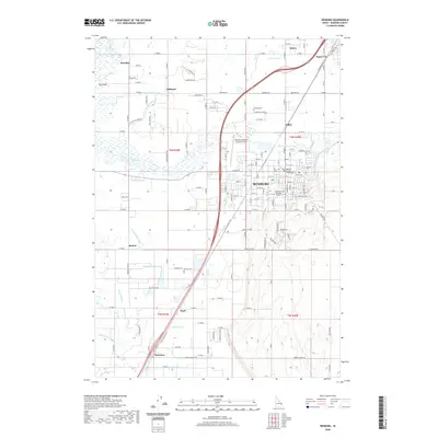
(31)- 1948 Map of Parker, 1973 Print
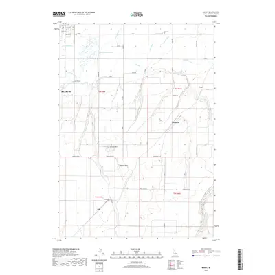
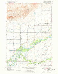 1948 Parker1973 Print · USGSFremont and Madison counties are captured here just after the war, showing the intensive irrigation and rail network of the upper Snake River Valley. Trace family roots and land use near Parker, Salem, and the Fort Henry Historic Monument.2 unique versions available
 - 1949 Map of Rexburg
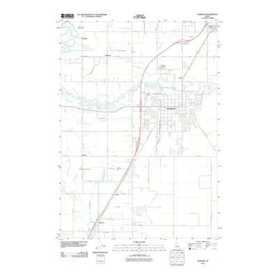
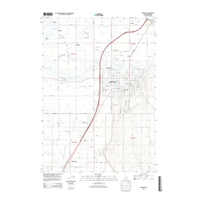
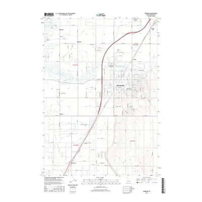
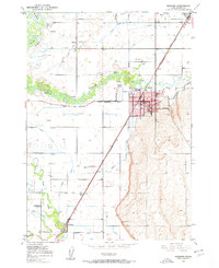 1949 Rexburg1949 Print · USGSThe Madison County landscape was defined by its irrigation networks and the growing influence of Rexburg in the late 1940s. Genealogists and historians can trace family-named landmarks and essential community sites like Ricks College, Thornton, and Burton Cem.4 unique versions available
 - 1950 Map of Parker
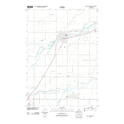
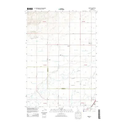
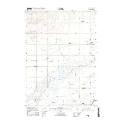
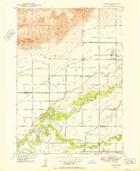 1950 Parker1950 Print · USGSThe northern Snake River Plain comes into focus in this midcentury survey as agricultural irrigation meets the shifting Sand Dunes. Genealogists and historians can trace the irrigation networks of the St Anthony Canal, settlements like Parker, and the Fort Henry Historic Monument.
 - 1950 Map of Rexburg
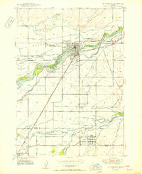
 1950 Rexburg1950 Print · USGSRexburg and its surrounding irrigation district are shown at mid-century, just as the local economy was anchored by the railway and college. Genealogists and researchers can locate Ricks College, the Independence Ward Ch, and family plots in Rexburg Cem.
 - 1950 Map of St Anthony
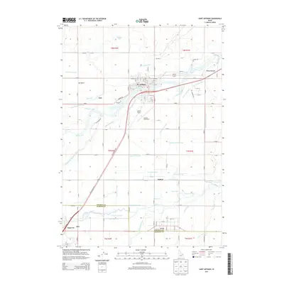
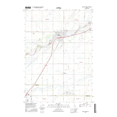
 1950 St Anthony1950 Print · USGSMid-century Fremont County is defined here by the meeting of the Henrys Fork and the Teton River amidst a massive irrigation network. Researchers can trace the Union Pacific rail line through St. Anthony and locate the Idaho Industrial Training School or Riverview Cemetery.3 unique versions available
 - 1951 Map of Moody, 1952 Print
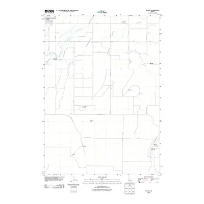
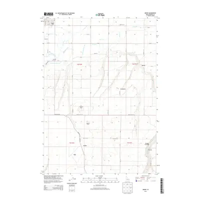
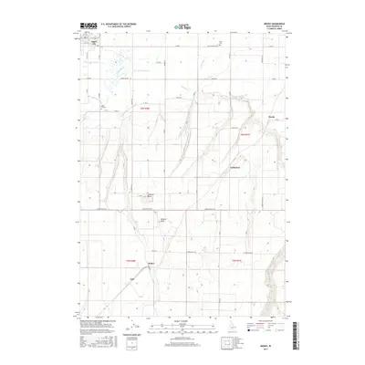
 1951 Moody1952 Print · USGSMadison County's high-desert agricultural life is detailed here in the early fifties, showing the intricate canal systems and rail lines of the Snake River Plain. Trace family roots at Sugar City, the Teton Cem, or the rural schoolhouse at Moody Sch.2 unique versions available
 - 1955 Map of Driggs, 1967 Print
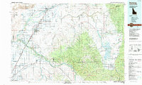
 1955 Driggs1967 Print · USGSEastern Idaho and Western Wyoming appear at a mid-century crossroads as the river valleys were fully settled and the high peaks protected. Genealogists and researchers can trace the rail towns of Rexburg and Driggs or follow the Snake River from Irwin to the Palisades Reservoir.3 unique versions available
 - 1958 Map of Driggs
 1958 Driggs1958 Print · USGSThe high Teton peaks and Snake River valleys are captured here in the mid-fifties, showing the region's agricultural and wilderness boundaries. Researchers can trace the Union Pacific rail corridor through Rexburg or locate early settlements like Clementsville and Tetonia.2 unique versions available
 - 1962 Map of Driggs
 1962 Driggs1962 Print · USGSThe Idaho-Wyoming borderlands are captured here in the early sixties, showing the peaks and valleys of the northern Rockies. Genealogists and historians can trace rail lines like the Union Pacific RR and isolated outposts like the National Elk Refuge or the Fort Hall Indian Reservation.
 - 1976 Map of Rexburg, 1979 Print
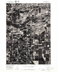 1976 Rexburg1979 Print · USGSRexburg and the surrounding Snake River Valley are captured in this mid-seventies aerial study of Madison County's agricultural heartland. Genealogists and local historians can trace the exact footprint of farmsteads near Thornton or the winding banks of the Teton River and Henrys Fork.
 - 1988 Map of Rexburg, 1989 Print
 1988 Rexburg1989 Print · USGSThe Upper Snake River Valley in the late eighties shows a region shaped by water and agriculture. Genealogists and historians can locate family plots at the Rexburg Cemetery or trace the early paths of the Union Pacific Railroad through towns like Sugar City and Newdale.
 - 2010 Map of Parker, 2010 Print
 2010 Parker2010 Print · USGSCovers Sugar City, including Parker, Salem, and other nearby areas
 - 2010 Map of Saint Anthony, 2010 Print
 2010 Saint Anthony2010 Print · USGSCovers Sugar City, including St. Anthony, Teton, and other nearby areas
 - 2010 Map of Rexburg, 2010 Print
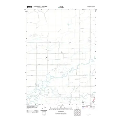
 2010 Rexburg2010 Print · USGSCovers Sugar City, including Rexburg, Hinckley, and other nearby areas
 - 2010 Map of Moody, 2010 Print
 2010 Moody2010 Print · USGSCovers Sugar City, including Rexburg, Madison County, and other nearby areas
 - 2013 Map of Moody, 2013 Print
 2013 Moody2013 Print · USGSCovers Sugar City, including Rexburg, Madison County, and other nearby areas
 - 2013 Map of Parker, 2013 Print
 2013 Parker2013 Print · USGSCovers Sugar City, including Parker, Salem, and other nearby areas
 - 2013 Map of Rexburg, 2013 Print
 2013 Rexburg2013 Print · USGSCovers Sugar City, including Rexburg, Hinckley, and other nearby areas
 - 2013 Map of Saint Anthony, 2013 Print
 2013 Saint Anthony2013 Print · USGSCovers Sugar City, including St. Anthony, Teton, and other nearby areas
 - 2017 Map of Saint Anthony, 2017 Print
 2017 Saint Anthony2017 Print · USGSCovers Sugar City, including St. Anthony, Teton, and other nearby areas
 - 2017 Map of Parker, 2017 Print
 2017 Parker2017 Print · USGSCovers Sugar City, including Parker, Salem, and other nearby areas
 - 2017 Map of Moody, 2017 Print
 2017 Moody2017 Print · USGSCovers Sugar City, including Rexburg, Madison County, and other nearby areas
 - 2017 Map of Rexburg, 2017 Print
 2017 Rexburg2017 Print · USGSCovers Sugar City, including Rexburg, Hinckley, and other nearby areas
 - 2020 Map of Moody, 2020 Print
 2020 Moody2020 Print · USGSCovers Sugar City, including Rexburg, Madison County, and other nearby areas
 - 2020 Map of Rexburg, 2020 Print
 2020 Rexburg2020 Print · USGSCovers Sugar City, including Rexburg, Hinckley, and other nearby areas
Showing maps 1-25 of 31
Top cities near Sugar City
- Rexburg historical maps
- Rigby historical maps
- St. Anthony historical maps
- Teton historical maps
- Menan historical maps
- Parker historical maps
Frequently asked questions
- What are the different types of historical maps available for Sugar City?
- What is the oldest map of Sugar City?
- Where can I purchase historical maps of Sugar City for my home or office?
- Where can I download high-res historical maps of Sugar City?
- Are there historical topographic maps available for Sugar City?
- Is there historical aerial imagery available for Sugar City?
- Where are historical maps of Sugar City sourced from?