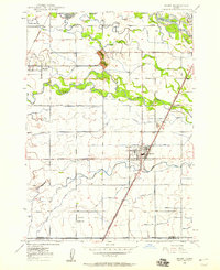
1949 Map of Rexburg
USGS Topo · Published 1949About this map
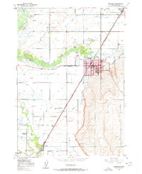
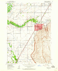
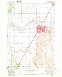
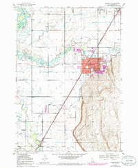
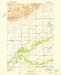
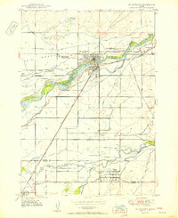
Rexburg serves as the focal point of this Madison County survey, showcasing the city’s development along the Union Pacific rail corridor. The map details the local educational and civic landscape, featuring the Ricks College campus, Adams Sch, and the county Courthouse. Beyond the city limits, the agricultural character of the Snake River Plain is evident through an extensive network of irrigation infrastructure, including the Consolidated Farmers Canal and the Westfield Branch Canal.
Find a feature on this map
49 named features on this map. Tap any name to fly to it.
Don’t see what you’re looking for? This feature index may not catch every label — zoom into the map to look around manually.
Map Details
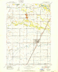
Editions of this 1949 Rexburg Map
4 editions found
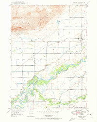
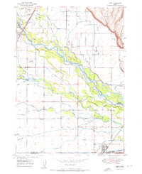
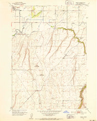
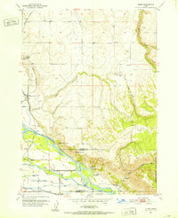
Other maps of this area
1948 · Rigby
USGS Topo · 1:24,000
1948 · Parker
USGS Topo · 1:24,000
1949 · Rigby
USGS Topo · 1:24,000
1950 · Ririe
USGS Topo · 1:24,000
1950 · Parker
USGS Topo · 1:24,000

1950 · Rexburg
USGS Topo · 1:24,000
1950 · St Anthony
USGS Topo · 1:24,000

1950 · Rigby
USGS Topo · 1:62,500
1951 · Moody
USGS Topo · 1:24,000
1951 · Heise
USGS Topo · 1:24,000