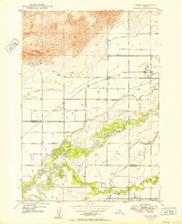
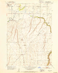
1950 Map of Parker
USGS Topo · Published 1950About this map
Sand Dunes dominate the northern landscape of this Snake River Plain quadrangle, pressing against a complex network of agricultural irrigation that defines the local economy. The transition from the arid sands of the Egin Lakes area to the lush river bottoms is managed through an extensive system of waterways, including the Last Chance Canal, St Anthony Canal, and Egin Canal. These engineered channels supported the growth of clustered settlements like Parker, Heman, and Egin, providing the water necessary to transform the volcanic soils into productive farmland near the convergence of Henrys Fork and the Teton River.
Find a feature on this map
31 named features on this map. Tap any name to fly to it.
Don’t see what you’re looking for? This feature index may not catch every label — zoom into the map to look around manually.
Map Details
Editions of this 1950 Parker Map
This is the sole edition of this map. No revisions or reprints were ever made.
Other maps of this area
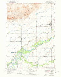
1948 · Parker
USGS Topo · 1:24,000
1949 · Rexburg
USGS Topo · 1:24,000

1950 · Rexburg
USGS Topo · 1:24,000
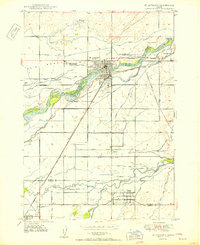
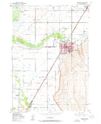
1950 · St Anthony
USGS Topo · 1:24,000
1951 · Moody
USGS Topo · 1:24,000
1951 · Menan Buttes
USGS Topo · 1:24,000
1951 · Plano
USGS Topo · 1:24,000

1955 · Ashton
USGS Topo · 1:250,000

1955 · Driggs
USGS Topo · 1:250,000

1958 · Driggs
USGS Topo · 1:250,000