Old Maps of Rupert, Idaho for Metal Detecting
Plan your next treasure hunt with 15 historic maps of Rupert. Find old homesites, ghost towns, trails, and gathering spots that may be lost to time — perfect for identifying promising metal detecting locations.
- Locate forgotten sites: Uncover places like long-lost settlements, abandoned rail lines, or gathering spots.
- Plan better hunts: Use map overlays combined with LiDAR or satellite views to narrow in on historically rich areas.
- Made for detectorists: Thousands of hobbyists use these maps to discover relics, coins, and hidden history.
Use these historic maps to boost your research and find new opportunities beneath the surface of Rupert.
Rupert, ID maps
(15)- 1954 Map of Pocatello, 1963 Print
 1954 Pocatello1963 Print · USGSSoutheast Idaho in the mid-1950s reveals a landscape shaped by massive water reclamation and mountain forests. Researchers can trace the development of the Fort Hall Indian Reservation or locate specific landmarks like the Arbon P O and Emerson School.4 unique versions available
 - 1958 Map of Pocatello
 1958 Pocatello1958 Print · USGSSoutheastern Idaho in the late fifties was a landscape of expanding reservoirs and historic trails. Genealogists and historians can trace the Old Oregon Trail, locate the Bannock Creek Indian Day School, and study the many Union Pacific rail sidings.2 unique versions available
 - 1964 Map of Rupert NW, 1965 Print
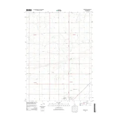
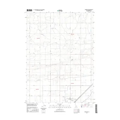
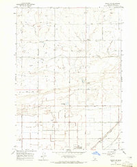 1964 Rupert NW1965 Print · USGSMinidoka County agriculture was in full swing during the mid-sixties as irrigation canals reshaped the Idaho desert. Genealogists and local historians can trace the rural landscape through the Pioneer Sch, the Rupert Cemetery, and the Union Pacific rail line.2 unique versions available
 - 1964 Map of Rupert SW, 1966 Print
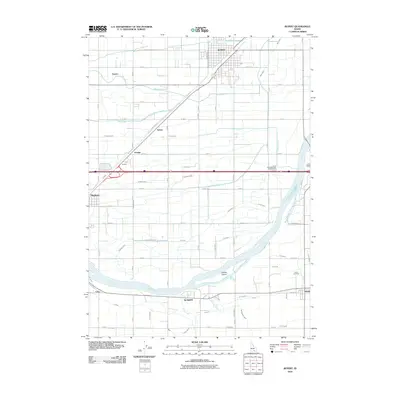
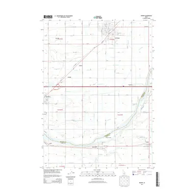
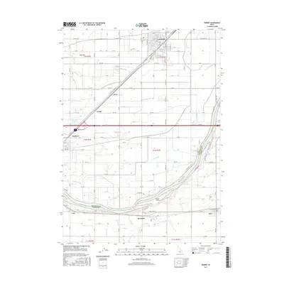
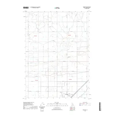
 1964 Rupert SW1966 Print · USGSMinidoka County agriculture and rail life are at the forefront in the mid-1960s, showing the intersection of the Snake River and the Union Pacific line. Trace the development of Rupert and find rural landmarks like the Declo Cem, Springdale Sch, and the County Fairgrounds.3 unique versions available
 - 1993 Map of Lake Walcott, 1994 Print
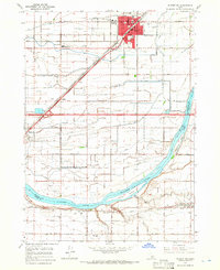
 1993 Lake Walcott1994 Print · USGSMinidoka and Cassia counties come to life in the early nineties, showing a landscape shaped by the Snake River and extensive irrigation. Genealogists and local historians can trace family roots in Rupert, Burley, and smaller railroad stops like Kimama or Adelaide.
 - 2010 Map of Rupert NW, 2010 Print
 2010 Rupert NW2010 Print · USGSCovers Rupert, including Minidoka County, United States, and other nearby areas
 - 2010 Map of Rupert, 2010 Print
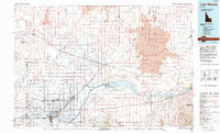
 2010 Rupert2010 Print · USGSCovers Rupert, including Heyburn, Declo, and other nearby areas
 - 2013 Map of Rupert NW, 2013 Print
 2013 Rupert NW2013 Print · USGSCovers Rupert, including Minidoka County, United States, and other nearby areas
 - 2013 Map of Rupert, 2013 Print
 2013 Rupert2013 Print · USGSCovers Rupert, including Heyburn, Declo, and other nearby areas
 - 2017 Map of Rupert, 2017 Print
 2017 Rupert2017 Print · USGSCovers Rupert, including Heyburn, Declo, and other nearby areas
 - 2017 Map of Rupert NW, 2017 Print
 2017 Rupert NW2017 Print · USGSCovers Rupert, including Minidoka County, United States, and other nearby areas
 - 2020 Map of Rupert NW, 2020 Print
 2020 Rupert NW2020 Print · USGSCovers Rupert, including Minidoka County, United States, and other nearby areas
 - 2020 Map of Rupert, 2020 Print
 2020 Rupert2020 Print · USGSCovers Rupert, including Heyburn, Declo, and other nearby areas
 - 2023 Map of Rupert, 2023 Print
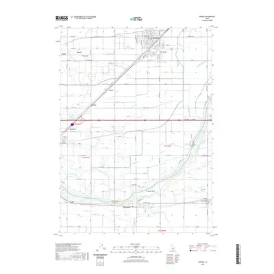
 2023 Rupert2023 Print · USGSModern Minidoka and Cassia counties remain centered on the historic agricultural hub of Rupert and the vital waters of the Snake River. Genealogists and local historians can trace the irrigation network from Emerald Lake to rural settlements like Springdale and the Declo Cem.
 - 2023 Map of Rupert NW, 2023 Print
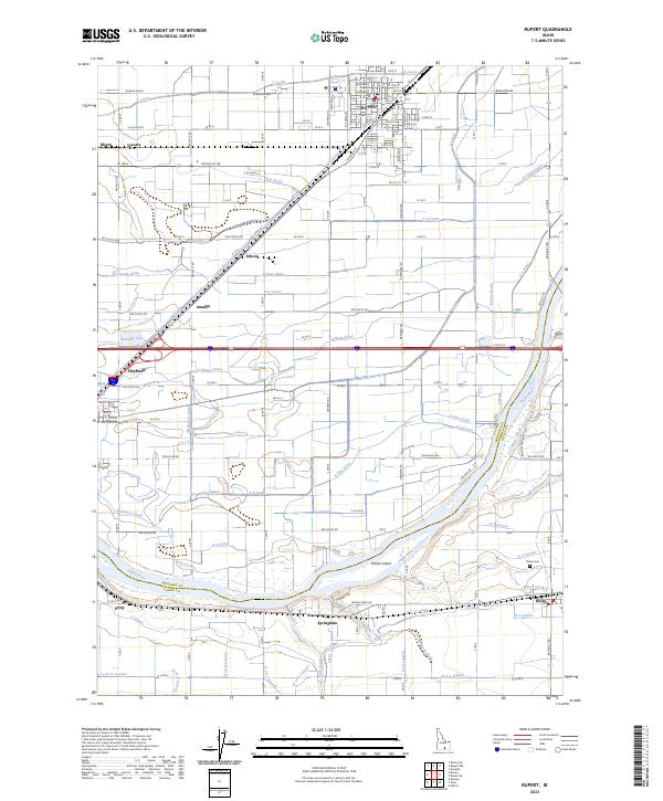
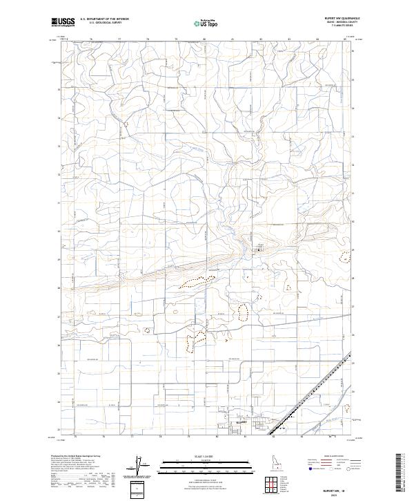 2023 Rupert NW2023 Print · USGSMinidoka County farmland is shown in high detail during the 2020s, highlighting the intricate irrigation systems of the Snake River Plain. Researchers can trace the layout of Rupert, locate the Rupert Cem, and follow the vital F Main Drain.
End of results
Showing maps 1-15 of 15
Top cities near Rupert
- Burley historical maps
- Heyburn historical maps
- Paul historical maps
- Declo historical maps
- Albion historical maps
- Acequia historical maps
See more
Frequently asked questions
- What are the different types of historical maps available for Rupert?
- What is the oldest map of Rupert?
- Where can I purchase historical maps of Rupert for my home or office?
- Where can I download high-res historical maps of Rupert?
- Are there historical topographic maps available for Rupert?
- Is there historical aerial imagery available for Rupert?
- Where are historical maps of Rupert sourced from?