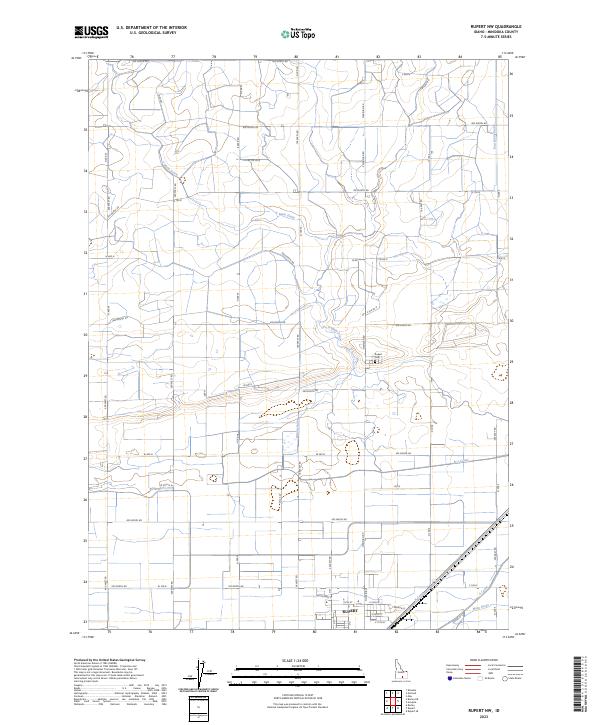
2023 Map of Rupert NW
USGS Topo · Published 2023About this map
Rupert serves as the primary hub in this portion of Minidoka County, situated at the intersection of a sophisticated irrigation network. The landscape is defined by the engineered waterways of the F Main Drain, B-1 Canal, and East Main Drain, which support the agricultural production of the Snake River Plain. These canals follow the section lines of the Public Land Survey System, as seen in townships t8s r23e and t9s r24e, creating a geometric grid of roads and fields. Local history is anchored at the Rupert Cem, located north of the town center near the junction of Meridian Rd and 500 North Rd. The layout of roads like Baker Rd and 900 North Rd illustrates the systematic settlement and development of the region's productive farmland.
Find a feature on this map
58 named features on this map. Tap any name to fly to it.
Don’t see what you’re looking for? This feature index may not catch every label — zoom into the map to look around manually.
Map Details
Editions of this 2023 Rupert NW Map
This is the sole edition of this map. No revisions or reprints were ever made.
Other maps of this area

1954 · Pocatello
USGS Topo · 1:250,000

1958 · Pocatello
USGS Topo · 1:250,000

1964 · Rupert SE
USGS Topo · 1:24,000

1964 · Burley NE
USGS Topo · 1:24,000

1964 · Rupert NW
USGS Topo · 1:24,000

1964 · Acequia
USGS Topo · 1:24,000

1964 · Rupert SW
USGS Topo · 1:24,000

1964 · Burley SE
USGS Topo · 1:24,000

1972 · Kimama
USGS Topo · 1:24,000

1972 · Max
USGS Topo · 1:24,000