
1964 Map of Rupert SW
USGS Topo · Published 1966About this map
The agricultural landscape of the Magic Valley is meticulously documented here, centered on the gridded streets of Rupert and the adjacent industrial and transport corridors of the Union Pacific railroad. The map reveals an intricate irrigation network essential to this region, featuring the A Canal, B Canal, and numerous secondary drains that transformed the desert into productive farmland. To the south, the Snake River flows through Milner Lake, punctuated by Frenchmans Island and Parees Island, illustrating the river's central role in the local geography and economy.
Find a feature on this map
69 named features on this map. Tap any name to fly to it.
Don’t see what you’re looking for? This feature index may not catch every label — zoom into the map to look around manually.
Map Details
Editions of this 1964 Rupert SW Map
3 editions found
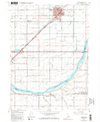
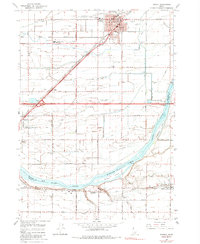
Other maps of this area

1954 · Pocatello
USGS Topo · 1:250,000

1958 · Pocatello
USGS Topo · 1:250,000

1964 · Rupert SE
USGS Topo · 1:24,000

1964 · Burley NE
USGS Topo · 1:24,000

1964 · View
USGS Topo · 1:24,000

1964 · Kenyon
USGS Topo · 1:24,000

1964 · Rupert NW
USGS Topo · 1:24,000

1964 · Acequia
USGS Topo · 1:24,000

1964 · Burley SE
USGS Topo · 1:24,000

1968 · Albion
USGS Topo · 1:24,000