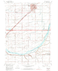
1964 Map of Rupert
USGS Topo · Published 1984About this map
Snake River and its widening at Milner Lake define the southern landscape of this mid-1960s Idaho survey, where the border between Minidoka Co and Cassia Co follows the winding water. The city of Rupert serves as the regional hub, organized around a grid that includes Neptune Park and the County Fairgrounds. To the southwest, Heyburn sits at a critical junction where the Union Pacific Railroad and local roads cross the river toward Springdale.
Find a feature on this map
53 named features on this map. Tap any name to fly to it.
Don’t see what you’re looking for? This feature index may not catch every label — zoom into the map to look around manually.
Map Details
Editions of this 1964 Rupert Map
3 editions found
Other maps of this area

1954 · Pocatello
USGS Topo · 1:250,000

1958 · Pocatello
USGS Topo · 1:250,000

1964 · Rupert SE
USGS Topo · 1:24,000

1964 · Burley NE
USGS Topo · 1:24,000

1964 · View
USGS Topo · 1:24,000

1964 · Kenyon
USGS Topo · 1:24,000

1964 · Rupert NW
USGS Topo · 1:24,000

1964 · Acequia
USGS Topo · 1:24,000

1964 · Rupert SW
USGS Topo · 1:24,000

1964 · Burley SE
USGS Topo · 1:24,000