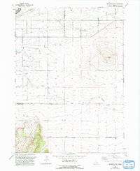
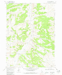
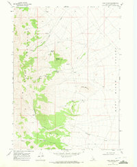
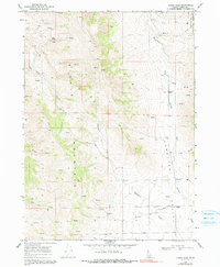
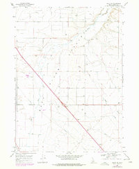
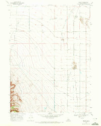
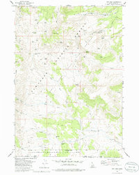
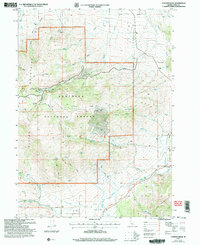
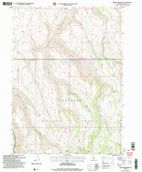
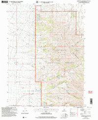
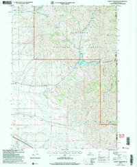
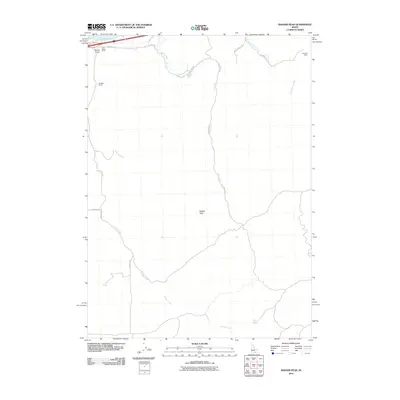
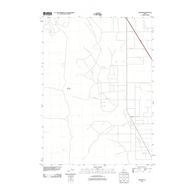
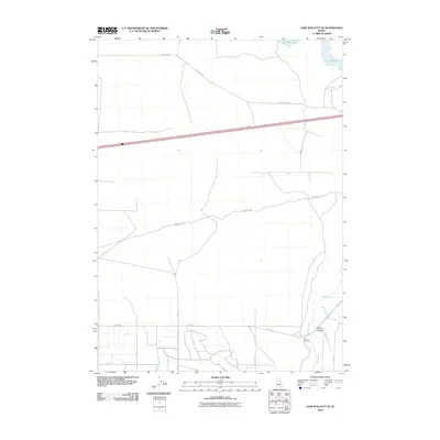
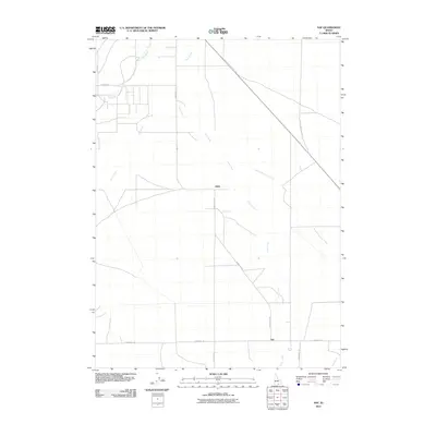
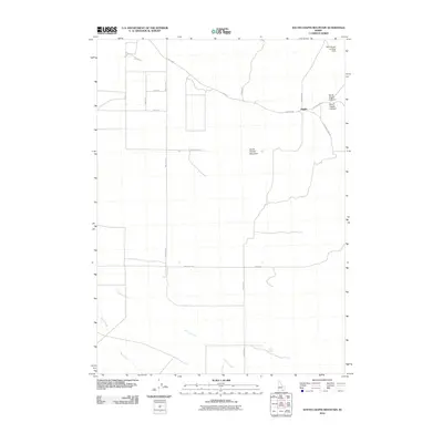
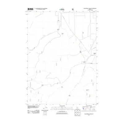
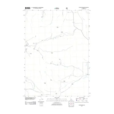
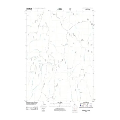
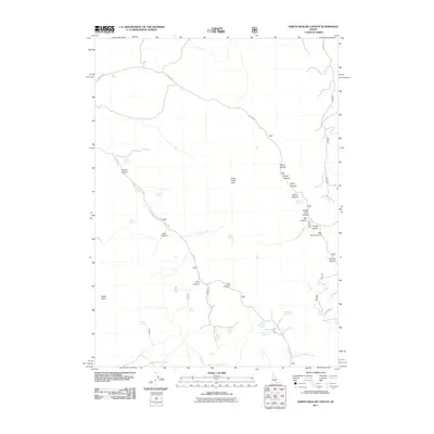
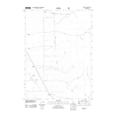
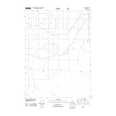
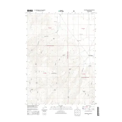
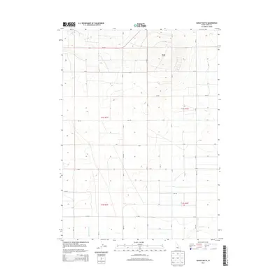
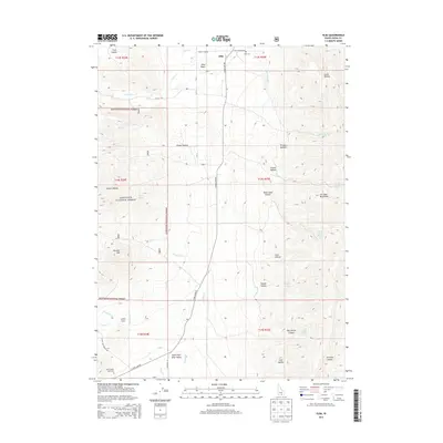
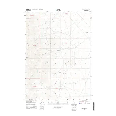
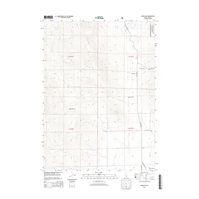
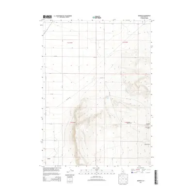
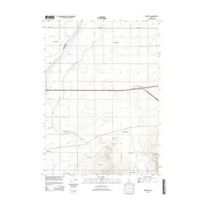
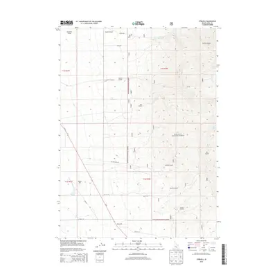
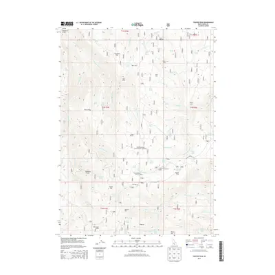
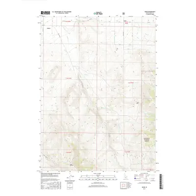
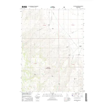
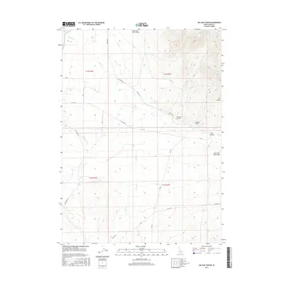
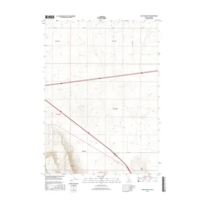
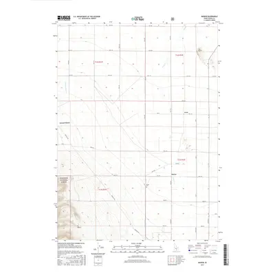
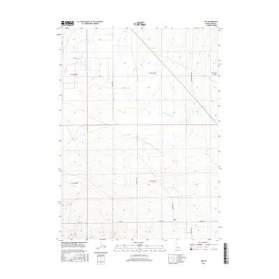
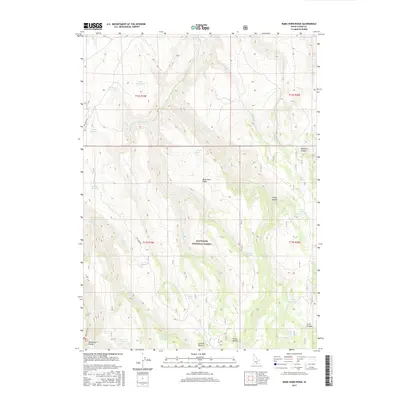
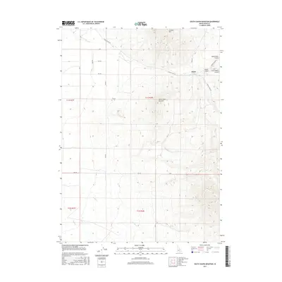
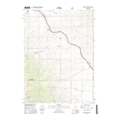
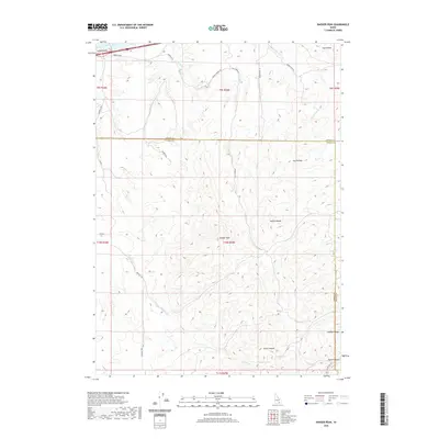
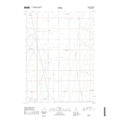
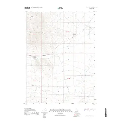
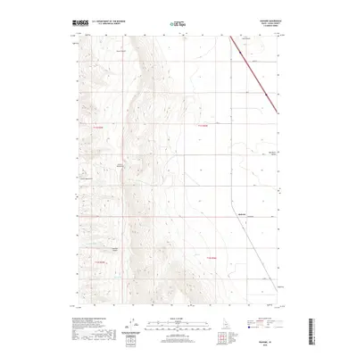
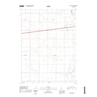
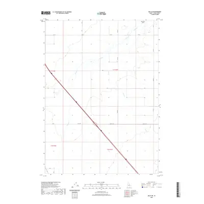
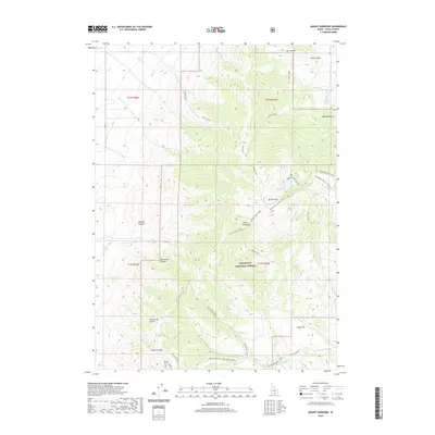
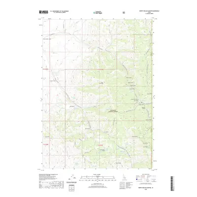
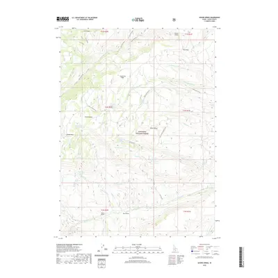
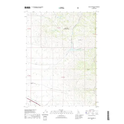
1964 Map of Rupert SE
USGS Topo · Published 1965About this map
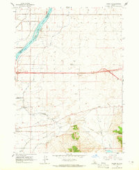
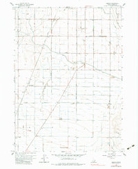
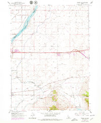
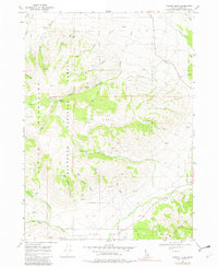
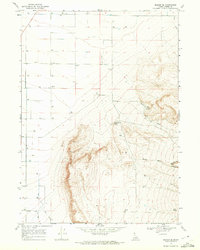
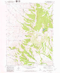
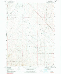
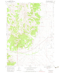
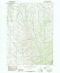
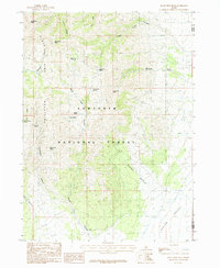
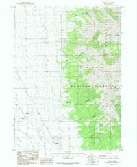
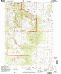
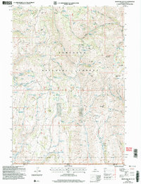
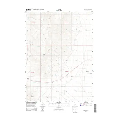
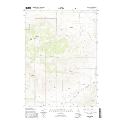
Declo stands as the primary hub in this mid-1960s agricultural landscape, where the High Sch and local road networks like Baseline Road and 200 South Road anchor the community. The region's character is defined by a massive irrigation infrastructure, drawing from the Snake River Milner Lake and distributed through a complex system of waterways including the Main Canal, Side Canal, and F Waste Canal.
Find a feature on this map
37 named features on this map. Tap any name to fly to it.
Don’t see what you’re looking for? This feature index may not catch every label — zoom into the map to look around manually.
Map Details
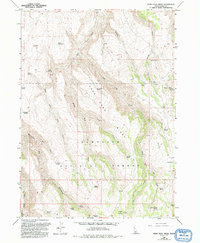
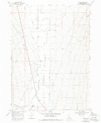
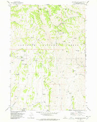
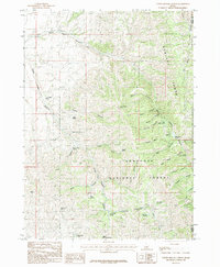
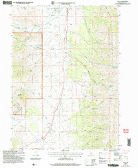
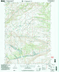
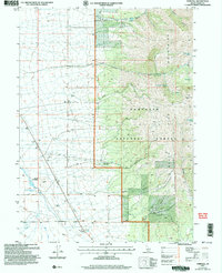
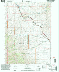
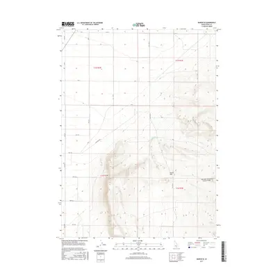
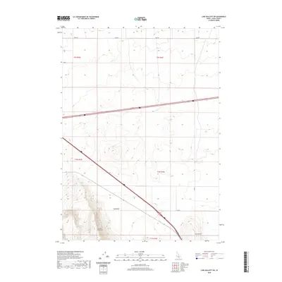
Editions of this 1964 Rupert SE Map
2 editions found
Historical Maps of Declo Through Time
270 maps found
1958 Sublett
Cassia County, ID
1959 Lake Walcott
Cassia County, ID

1959 Strevell
Cassia County, ID
1964 Burley Butte
Cassia County, ID
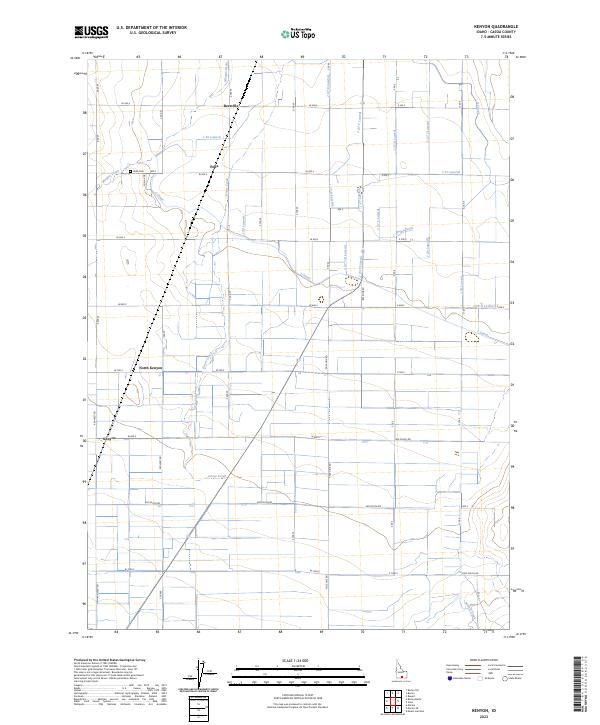
1964 Kenyon
Cassia County, ID
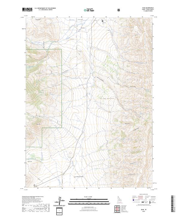
1964 Rupert SE
Cassia County, ID
1964 View
Cassia County, ID
1965 Buckhorn Canyon
Cassia County, ID
1965 Milner Butte
Cassia County, ID
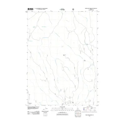
1965 Rams Horn Ridge
Cassia County, ID
1968 Almo
Cassia County, ID
1968 Basin
Cassia County, ID
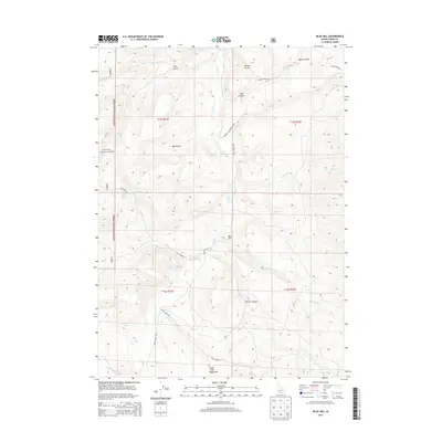
1968 Blue Hill
Cassia County, ID
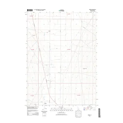
1968 Bridge
Cassia County, ID
1968 Cache Peak
Cassia County, ID
1968 Chokecherry Canyon
Cassia County, ID
1968 Connor Ridge
Cassia County, ID
1968 Elba
Cassia County, ID
1968 Idahome
Cassia County, ID
1968 Jim Sage Canyon
Cassia County, ID
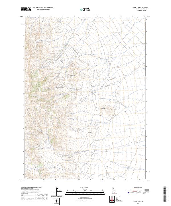
1968 Kane Canyon
Cassia County, ID
1968 Lyman Pass
Cassia County, ID
1968 Malta NE
Cassia County, ID
1968 Marion
Cassia County, ID
1968 Marion SE
Cassia County, ID
1968 Mount Harrison
Cassia County, ID
1968 Naf
Cassia County, ID
1968 Nibbs Creek
Cassia County, ID
1977 Ibex Peak
Cassia County, ID
1977 Mahogany Butte
Cassia County, ID
1978 Severe Spring
Cassia County, ID
1979 Trapper Peak
Cassia County, ID
1984 Badger Peak
Cassia County, ID
1984 Lake Walcott SE
Cassia County, ID
1984 Lake Walcott SW
Cassia County, ID
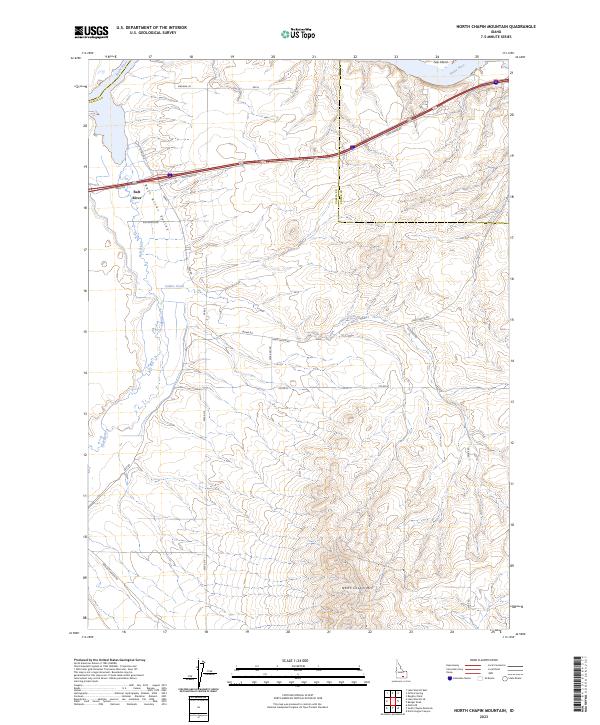
1984 North Chapin Mountain
Cassia County, ID
1985 Black Pine Peak
Cassia County, ID
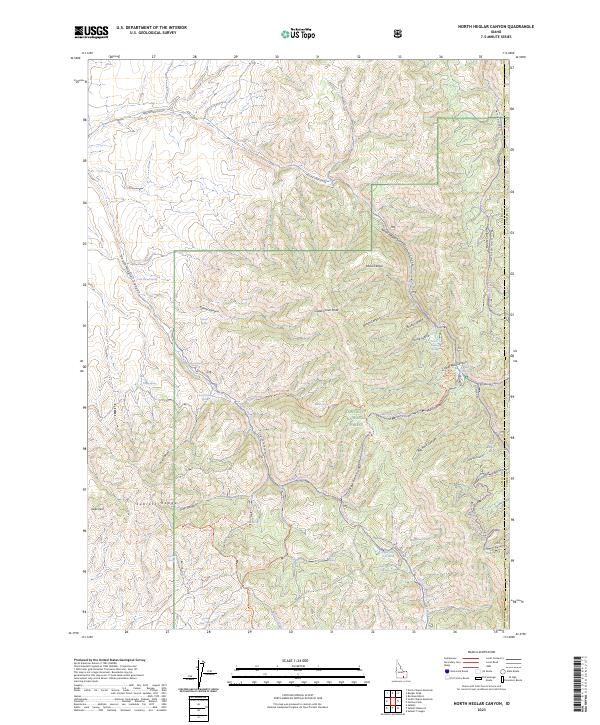
1985 North Heglar Canyon
Cassia County, ID
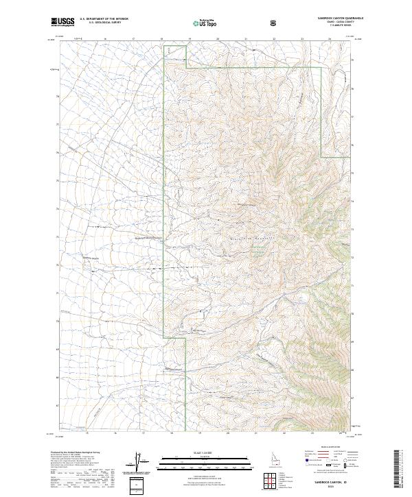
1985 Sandrock Canyon
Cassia County, ID
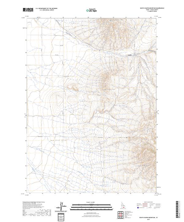
1985 South Chapin Mountain
Cassia County, ID
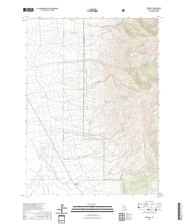
1985 Strevell
Cassia County, ID
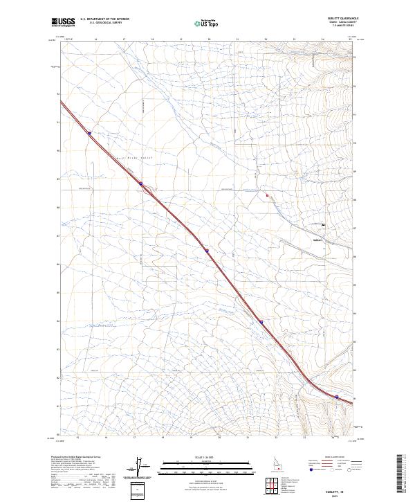
1985 Sublett
Cassia County, ID
1985 Sublett Reservoir
Cassia County, ID
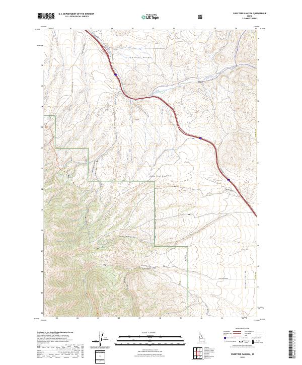
1985 Sweetzer Canyon
Cassia County, ID
2001 Almo
Cassia County, ID
2001 Basin
Cassia County, ID
2001 Blue Hill
Cassia County, ID
2001 Cache Peak
Cassia County, ID
2001 Connor Ridge
Cassia County, ID
2001 Elba
Cassia County, ID
2001 Ibex Peak
Cassia County, ID
2001 Lyman Pass
Cassia County, ID
2001 Mahogany Butte
Cassia County, ID
2001 Marion
Cassia County, ID
2001 Mount Harrison
Cassia County, ID
2001 North Heglar Canyon
Cassia County, ID
2001 Rams Horn Ridge
Cassia County, ID
2001 Sandrock Canyon
Cassia County, ID
2001 Severe Spring
Cassia County, ID
2001 Strevell
Cassia County, ID
2001 Sublett Reservoir
Cassia County, ID
2001 Sweetzer Canyon
Cassia County, ID
2001 Trapper Peak
Cassia County, ID
2001 View
Cassia County, ID
2010 Badger Peak
Cassia County, ID
2010 Bridge
Cassia County, ID
2010 Burley Butte
Cassia County, ID
2010 Chokecherry Canyon
Cassia County, ID
2010 Idahome
Cassia County, ID
2010 Jim Sage Canyon
Cassia County, ID
2010 Kane Canyon
Cassia County, ID
2010 Kenyon
Cassia County, ID
2010 Lake Walcott SE
Cassia County, ID
2010 Lake Walcott SW
Cassia County, ID
2010 Malta NE
Cassia County, ID
2010 Marion SE
Cassia County, ID
2010 Naf
Cassia County, ID
2010 Nibbs Creek
Cassia County, ID
2010 North Chapin Mountain
Cassia County, ID
2010 Rupert SE
Cassia County, ID
2010 South Chapin Mountain
Cassia County, ID
2010 Sublett
Cassia County, ID
2011 Almo
Cassia County, ID
2011 Basin
Cassia County, ID
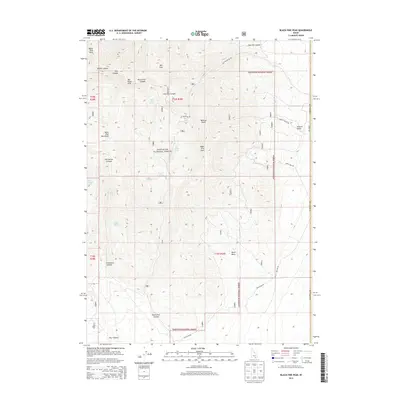
2011 Black Pine Peak
Cassia County, ID
2011 Blue Hill
Cassia County, ID
2011 Buckhorn Canyon
Cassia County, ID
2011 Cache Peak
Cassia County, ID
2011 Connor Ridge
Cassia County, ID
2011 Elba
Cassia County, ID
2011 Ibex Peak
Cassia County, ID
2011 Lyman Pass
Cassia County, ID
2011 Mahogany Butte
Cassia County, ID
2011 Marion
Cassia County, ID
2011 Milner Butte
Cassia County, ID
2011 Mount Harrison
Cassia County, ID
2011 North Heglar Canyon
Cassia County, ID
2011 Rams Horn Ridge
Cassia County, ID
2011 Sandrock Canyon
Cassia County, ID
2011 Severe Spring
Cassia County, ID
2011 Strevell
Cassia County, ID
2011 Sublett Reservoir
Cassia County, ID
2011 Sweetzer Canyon
Cassia County, ID
2011 Trapper Peak
Cassia County, ID
2011 View
Cassia County, ID
2013 Almo
Cassia County, ID
2013 Badger Peak
Cassia County, ID
2013 Basin
Cassia County, ID
2013 Black Pine Peak
Cassia County, ID
2013 Blue Hill
Cassia County, ID
2013 Bridge
Cassia County, ID
2013 Buckhorn Canyon
Cassia County, ID
2013 Burley Butte
Cassia County, ID
2013 Cache Peak
Cassia County, ID
2013 Chokecherry Canyon
Cassia County, ID
2013 Connor Ridge
Cassia County, ID
2013 Elba
Cassia County, ID
2013 Ibex Peak
Cassia County, ID
2013 Idahome
Cassia County, ID
2013 Jim Sage Canyon
Cassia County, ID
2013 Kane Canyon
Cassia County, ID
2013 Kenyon
Cassia County, ID
2013 Lake Walcott SE
Cassia County, ID
2013 Lake Walcott SW
Cassia County, ID
2013 Lyman Pass
Cassia County, ID
2013 Mahogany Butte
Cassia County, ID
2013 Malta NE
Cassia County, ID
2013 Marion
Cassia County, ID
2013 Marion SE
Cassia County, ID
2013 Milner Butte
Cassia County, ID
2013 Mount Harrison
Cassia County, ID
2013 Naf
Cassia County, ID
2013 Nibbs Creek
Cassia County, ID
2013 North Chapin Mountain
Cassia County, ID
2013 North Heglar Canyon
Cassia County, ID
2013 Rams Horn Ridge
Cassia County, ID
2013 Rupert SE
Cassia County, ID
2013 Sandrock Canyon
Cassia County, ID
2013 Severe Spring
Cassia County, ID
2013 South Chapin Mountain
Cassia County, ID
2013 Strevell
Cassia County, ID
2013 Sublett
Cassia County, ID
2013 Sublett Reservoir
Cassia County, ID
2013 Sweetzer Canyon
Cassia County, ID
2013 Trapper Peak
Cassia County, ID
2013 View
Cassia County, ID
2017 Almo
Cassia County, ID
2017 Badger Peak
Cassia County, ID
2017 Basin
Cassia County, ID
2017 Black Pine Peak
Cassia County, ID
2017 Blue Hill
Cassia County, ID
2017 Bridge
Cassia County, ID
2017 Buckhorn Canyon
Cassia County, ID
2017 Burley Butte
Cassia County, ID
2017 Cache Peak
Cassia County, ID
2017 Chokecherry Canyon
Cassia County, ID
2017 Connor Ridge
Cassia County, ID
2017 Elba
Cassia County, ID
2017 Ibex Peak
Cassia County, ID
2017 Idahome
Cassia County, ID
2017 Jim Sage Canyon
Cassia County, ID
2017 Kane Canyon
Cassia County, ID
2017 Kenyon
Cassia County, ID
2017 Lake Walcott SE
Cassia County, ID
2017 Lake Walcott SW
Cassia County, ID
2017 Lyman Pass
Cassia County, ID
2017 Mahogany Butte
Cassia County, ID
2017 Malta NE
Cassia County, ID
2017 Marion
Cassia County, ID
2017 Marion SE
Cassia County, ID
2017 Milner Butte
Cassia County, ID
2017 Mount Harrison
Cassia County, ID
2017 Naf
Cassia County, ID
2017 Nibbs Creek
Cassia County, ID
2017 North Chapin Mountain
Cassia County, ID
2017 North Heglar Canyon
Cassia County, ID
2017 Rams Horn Ridge
Cassia County, ID
2017 Rupert SE
Cassia County, ID
2017 Sandrock Canyon
Cassia County, ID
2017 Severe Spring
Cassia County, ID
2017 South Chapin Mountain
Cassia County, ID
2017 Strevell
Cassia County, ID
2017 Sublett
Cassia County, ID
2017 Sublett Reservoir
Cassia County, ID
2017 Sweetzer Canyon
Cassia County, ID
2017 Trapper Peak
Cassia County, ID
2017 View
Cassia County, ID
2020 Almo
Cassia County, ID
2020 Badger Peak
Cassia County, ID
2020 Basin
Cassia County, ID
2020 Black Pine Peak
Cassia County, ID
2020 Blue Hill
Cassia County, ID
2020 Bridge
Cassia County, ID
2020 Buckhorn Canyon
Cassia County, ID
2020 Burley Butte
Cassia County, ID
2020 Cache Peak
Cassia County, ID
2020 Chokecherry Canyon
Cassia County, ID
2020 Connor Ridge
Cassia County, ID
2020 Elba
Cassia County, ID
2020 Ibex Peak
Cassia County, ID
2020 Idahome
Cassia County, ID
2020 Jim Sage Canyon
Cassia County, ID
2020 Kane Canyon
Cassia County, ID
2020 Kenyon
Cassia County, ID
2020 Lake Walcott SE
Cassia County, ID
2020 Lake Walcott SW
Cassia County, ID
2020 Lyman Pass
Cassia County, ID
2020 Mahogany Butte
Cassia County, ID
2020 Malta NE
Cassia County, ID
2020 Marion
Cassia County, ID
2020 Marion SE
Cassia County, ID
2020 Milner Butte
Cassia County, ID
2020 Mount Harrison
Cassia County, ID
2020 Naf
Cassia County, ID
2020 Nibbs Creek
Cassia County, ID
2020 North Chapin Mountain
Cassia County, ID
2020 North Heglar Canyon
Cassia County, ID
2020 Rams Horn Ridge
Cassia County, ID
2020 Rupert SE
Cassia County, ID
2020 Sandrock Canyon
Cassia County, ID
2020 Severe Spring
Cassia County, ID
2020 South Chapin Mountain
Cassia County, ID
2020 Strevell
Cassia County, ID
2020 Sublett
Cassia County, ID
2020 Sublett Reservoir
Cassia County, ID
2020 Sweetzer Canyon
Cassia County, ID
2020 Trapper Peak
Cassia County, ID
2020 View
Cassia County, ID
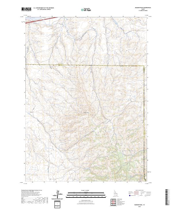
2023 Badger Peak
Cassia County, ID
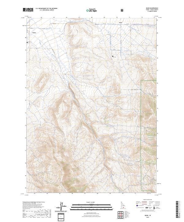
2023 Basin
Cassia County, ID
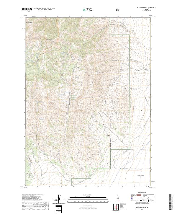
2023 Black Pine Peak
Cassia County, ID
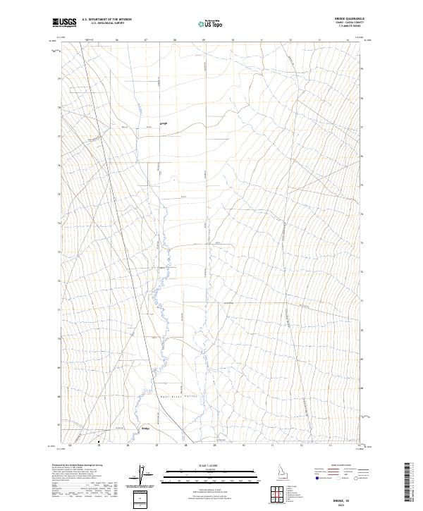
2023 Bridge
Cassia County, ID
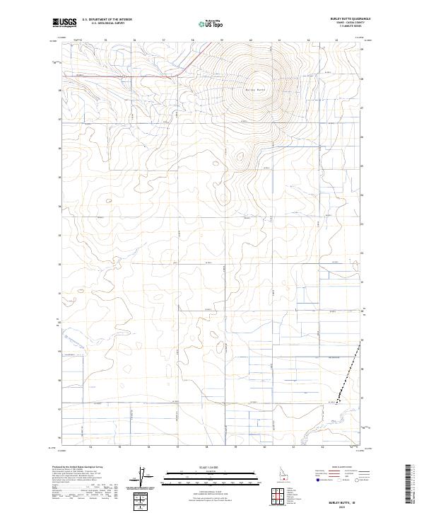
2023 Burley Butte
Cassia County, ID
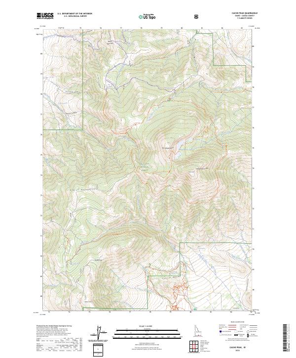
2023 Cache Peak
Cassia County, ID
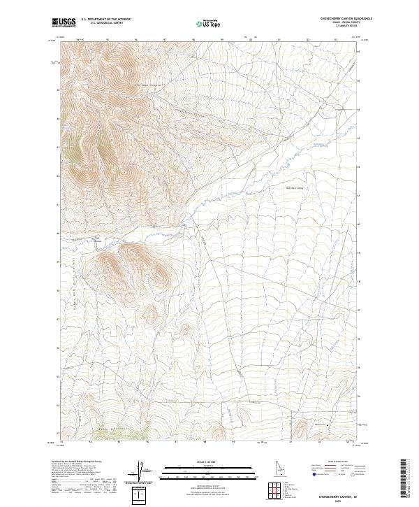
2023 Chokecherry Canyon
Cassia County, ID
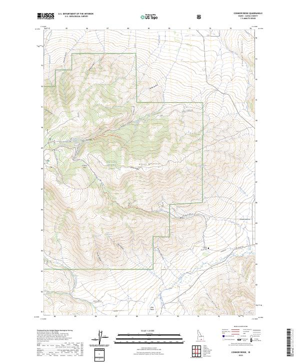
2023 Connor Ridge
Cassia County, ID
2023 Elba
Cassia County, ID
2023 Ibex Peak
Cassia County, ID
2023 Idahome
Cassia County, ID
2023 Jim Sage Canyon
Cassia County, ID
2023 Kane Canyon
Cassia County, ID
2023 Kenyon
Cassia County, ID
2023 Lake Walcott SE
Cassia County, ID
2023 Lake Walcott SW
Cassia County, ID
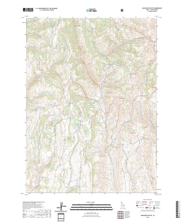
2023 Mahogany Butte
Cassia County, ID
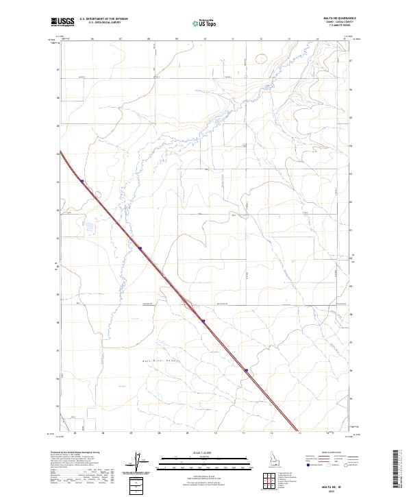
2023 Malta NE
Cassia County, ID
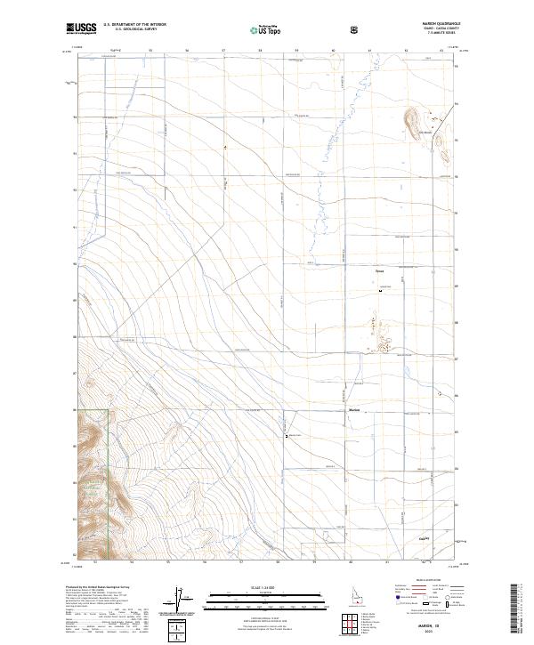
2023 Marion
Cassia County, ID
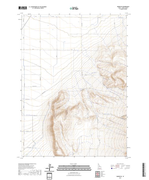
2023 Marion SE
Cassia County, ID
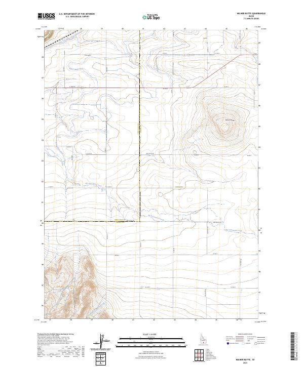
2023 Milner Butte
Cassia County, ID
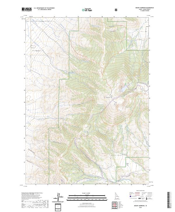
2023 Mount Harrison
Cassia County, ID
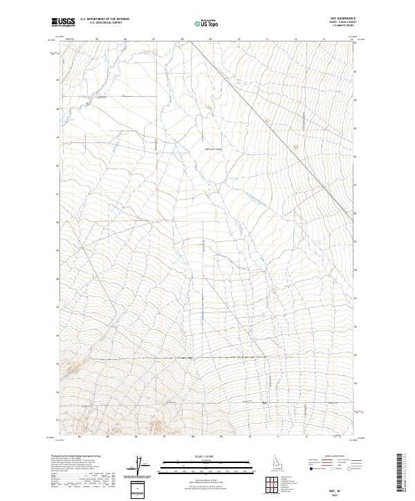
2023 Naf
Cassia County, ID
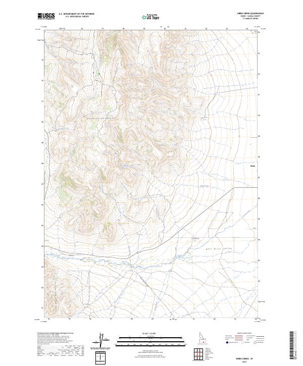
2023 Nibbs Creek
Cassia County, ID
2023 North Chapin Mountain
Cassia County, ID
2023 North Heglar Canyon
Cassia County, ID
2023 Sandrock Canyon
Cassia County, ID
2023 Severe Spring
Cassia County, ID
2023 South Chapin Mountain
Cassia County, ID
2023 Strevell
Cassia County, ID
2023 Sublett
Cassia County, ID
2023 Sweetzer Canyon
Cassia County, ID
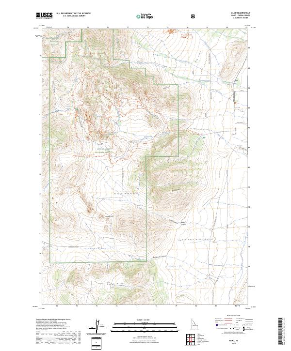
2024 Almo
Cassia County, ID
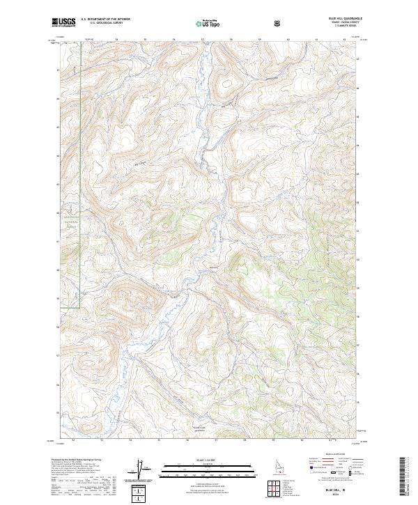
2024 Blue Hill
Cassia County, ID
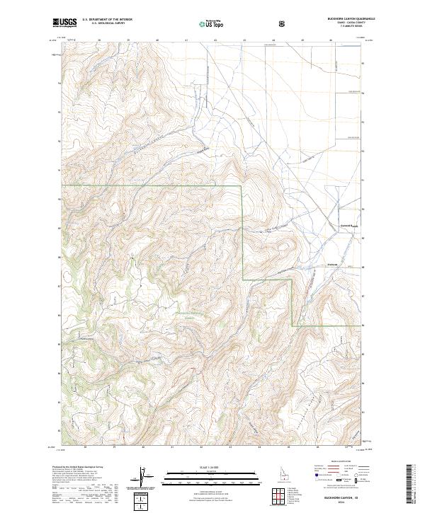
2024 Buckhorn Canyon
Cassia County, ID
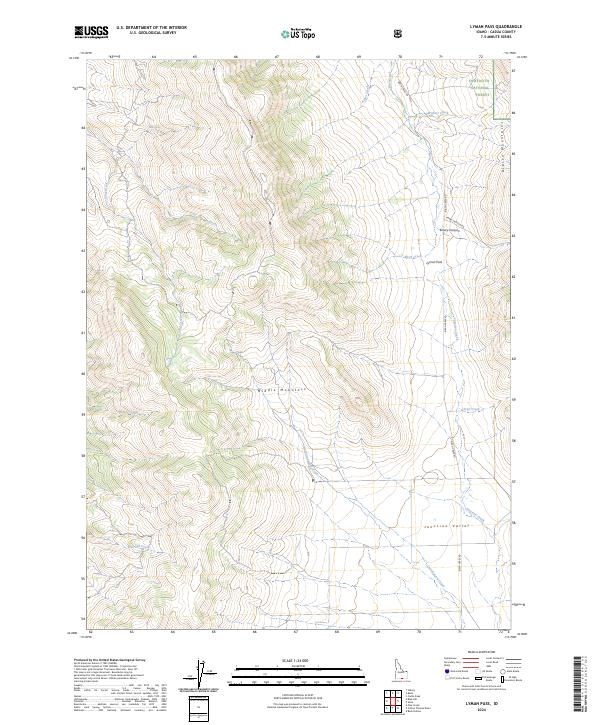
2024 Lyman Pass
Cassia County, ID
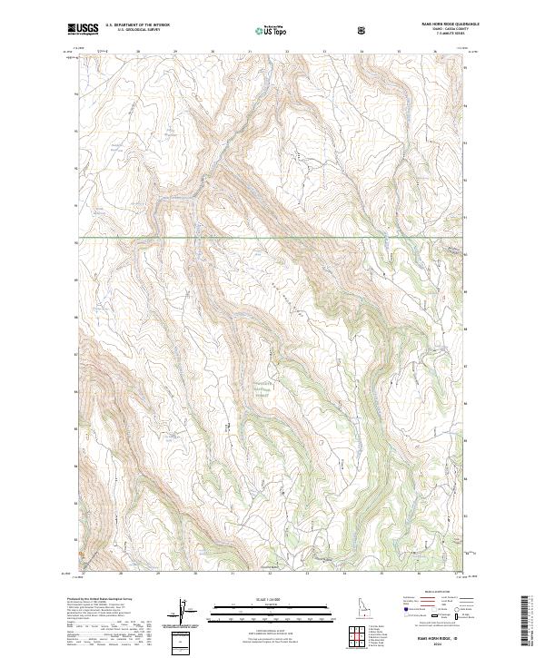
2024 Rams Horn Ridge
Cassia County, ID
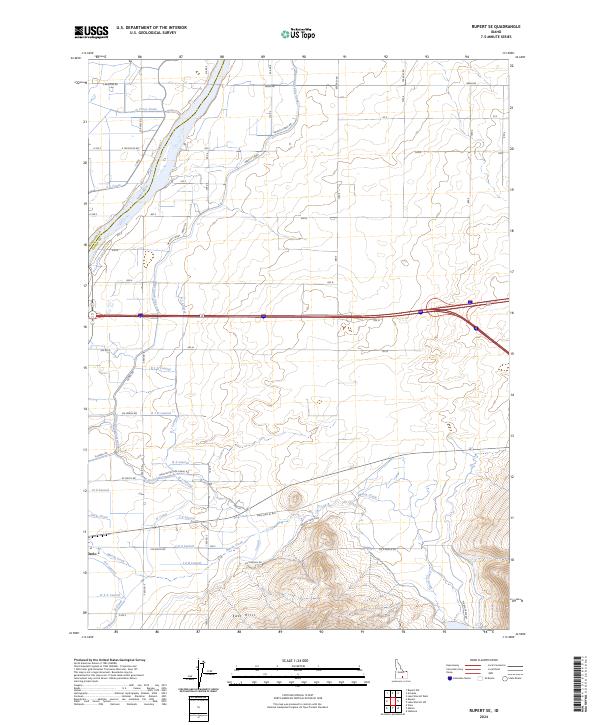
2024 Rupert SE
Cassia County, ID
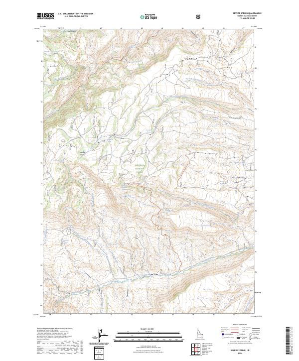
2024 Severe Spring
Cassia County, ID
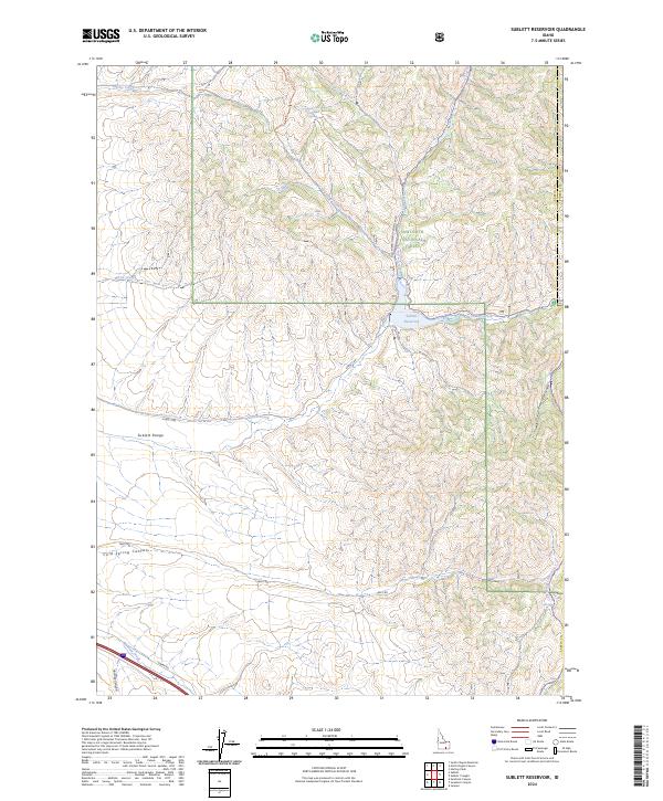
2024 Sublett Reservoir
Cassia County, ID
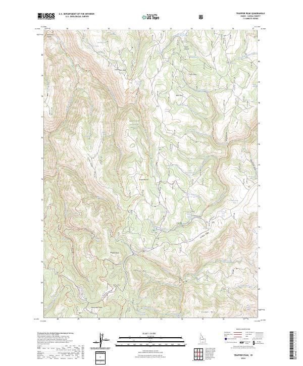
2024 Trapper Peak
Cassia County, ID
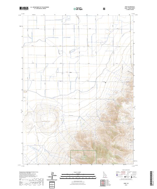
2024 View
Cassia County, ID