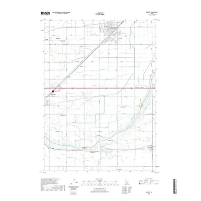
2020 Map of Rupert
USGS Topo · Published 2020About this map
The Minidoka County Courthouse stands as a central landmark in Rupert, illustrating the organized grid and civic development along the Union Pacific Railroad. This high-desert agricultural landscape is defined by an extensive network of irrigation infrastructure, including the Main Drain, B Canal, and C Canal, which transformed the region south of the Snake River. Small settlements and named railroad sidings such as Amalga, Travers, and Schow reveal the historical reliance on rail for transporting local produce. To the south, the river braids around Parees Island near the communities of Springdale and Declo. The presence of the Declo Cem and scattered sites like Unity and Heyburn provide specific points of interest for genealogists tracing family roots in this corner of Minidoka and Cassia Counties.
Find a feature on this map
87 named features on this map. Tap any name to fly to it.
Don’t see what you’re looking for? This feature index may not catch every label — zoom into the map to look around manually.
Map Details
Editions of this 2020 Rupert Map
This is the sole edition of this map. No revisions or reprints were ever made.
Other maps of this area

1954 · Pocatello
USGS Topo · 1:250,000

1958 · Pocatello
USGS Topo · 1:250,000

1964 · Rupert SE
USGS Topo · 1:24,000

1964 · Burley NE
USGS Topo · 1:24,000

1964 · View
USGS Topo · 1:24,000

1964 · Kenyon
USGS Topo · 1:24,000

1964 · Rupert NW
USGS Topo · 1:24,000

1964 · Acequia
USGS Topo · 1:24,000

1964 · Rupert SW
USGS Topo · 1:24,000

1964 · Burley SE
USGS Topo · 1:24,000