Old Maps of Culdesac, Idaho for Academic Research
Study the evolution of Culdesac with 16 high-resolution historic maps. Whether you're teaching, researching, or modeling changes in land use, these maps provide essential visual documentation of urban, environmental, and geographic change.
- Analyze long-term change: Track patterns in development, transportation, and natural features.
- Ideal for environmental or urban studies: Support academic projects with primary historical map data.
- Use in the classroom or lab: Educators and researchers rely on these maps to bring historical context to life.
These maps are a powerful tool for teaching, research, and visualizing how Culdesac has changed over the decades.
Culdesac, ID maps
(16)- 1955 Map of Pullman, 1963 Print
 1955 Pullman1963 Print · USGSThe Palouse and Clearwater regions are captured here in the mid-1950s, showing the height of the rail-and-river economy. Genealogists and historians can trace rail lines like the Camas Prairie RR, find local landmarks like Whitman County Memorial Cem, and locate early academic centers at Washington State University and the University of Idaho.3 unique versions available
 - 1958 Map of Pullman
 1958 Pullman1958 Print · USGSThe Palouse and Clearwater regions are captured here in the late fifties, showing the vital river-and-rail connection between eastern Washington and northern Idaho. Local historians can trace the paths of the Camas Prairie RR and Union Pacific RR as they serve towns like Colfax, Kamiah, and Nezperce.2 unique versions available
 - 1958 Map of Culdesac, 1960 Print
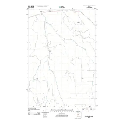
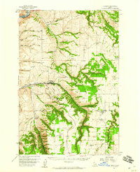 1958 Culdesac1960 Print · USGSThe Nez Perce and Lewis county borderlands in the late fifties show a landscape of steep canyons and high grain prairies. Trace the winding Camas Prairie RR through the tunnels of Culdesac Hill or locate the historic Slickpoo St Joseph Mission.2 unique versions available
 - 1981 Map of Orofino, 1982 Print
 1981 Orofino1982 Print · USGSNorth central Idaho comes into focus in the early eighties, showing the deep river canyons and agricultural plateaus of the Nez Perce Indian Reservation. Genealogists and historians can trace the Camas Prairie rail line through rural hubs like Ferdinand, Mohler, and Reubens.
 - 1984 Map of Culdesac North, 1985 Print
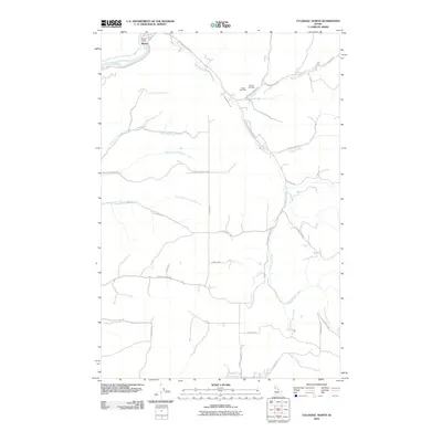
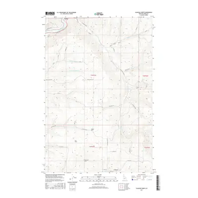
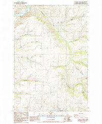 1984 Culdesac North1985 Print · USGSThe Nez Perce uplands meet the river canyons in the mid-1980s, documenting a landscape shaped by deep drainages and rural industry. Researchers can find old family sites and landmarks including Glasby Cem, the steep Kettenbach Grade, and the settlement of Myrtle.
 - 1985 Map of Culdesac South
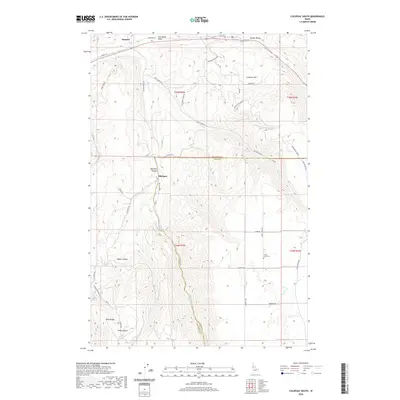
 1985 Culdesac South1985 Print · USGSNez Perce and Lewis counties come together in this mid-eighties survey of the high plateau and canyon breaks. Genealogists and local historians can locate the community of Slickpoo and the rural cemetery while tracing water sources like Howerton Spring and Mission Creek.
 - 2010 Map of Culdesac South, 2010 Print
 2010 Culdesac South2010 Print · USGSCovers Culdesac, including Slickpoo, Jacques, and other nearby areas
 - 2010 Map of Culdesac North, 2010 Print
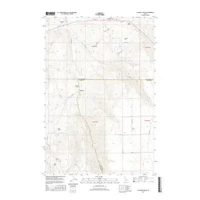
 2010 Culdesac North2010 Print · USGSCovers Culdesac, including Myrtle, Nez Perce County, and other nearby areas
 - 2013 Map of Culdesac South, 2013 Print
 2013 Culdesac South2013 Print · USGSCovers Culdesac, including Slickpoo, Jacques, and other nearby areas
 - 2013 Map of Culdesac North, 2013 Print
 2013 Culdesac North2013 Print · USGSCovers Culdesac, including Myrtle, Nez Perce County, and other nearby areas
 - 2017 Map of Culdesac North, 2017 Print
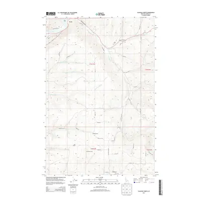
 2017 Culdesac North2017 Print · USGSCovers Culdesac, including Myrtle, Nez Perce County, and other nearby areas
 - 2017 Map of Culdesac South, 2017 Print
 2017 Culdesac South2017 Print · USGSCovers Culdesac, including Slickpoo, Jacques, and other nearby areas
 - 2020 Map of Culdesac South, 2020 Print
 2020 Culdesac South2020 Print · USGSCovers Culdesac, including Slickpoo, Jacques, and other nearby areas
 - 2020 Map of Culdesac North, 2020 Print
 2020 Culdesac North2020 Print · USGSCovers Culdesac, including Myrtle, Nez Perce County, and other nearby areas
 - 2024 Map of Culdesac North, 2024 Print
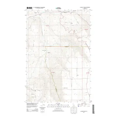
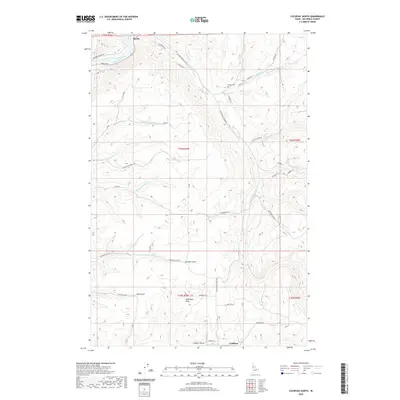
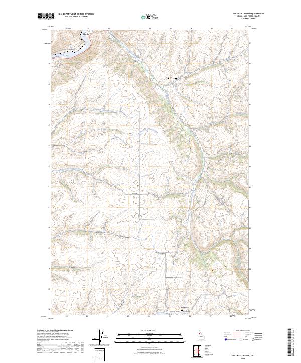 2024 Culdesac North2024 Print · USGSNez Perce County is captured in this modern survey of the canyon and plateau country near the turn of the 2020s. Researchers can trace family history at Indian Cem or Glasby Cem and explore the rural reaches of Garden Gulch.
 - 2024 Map of Culdesac South, 2024 Print
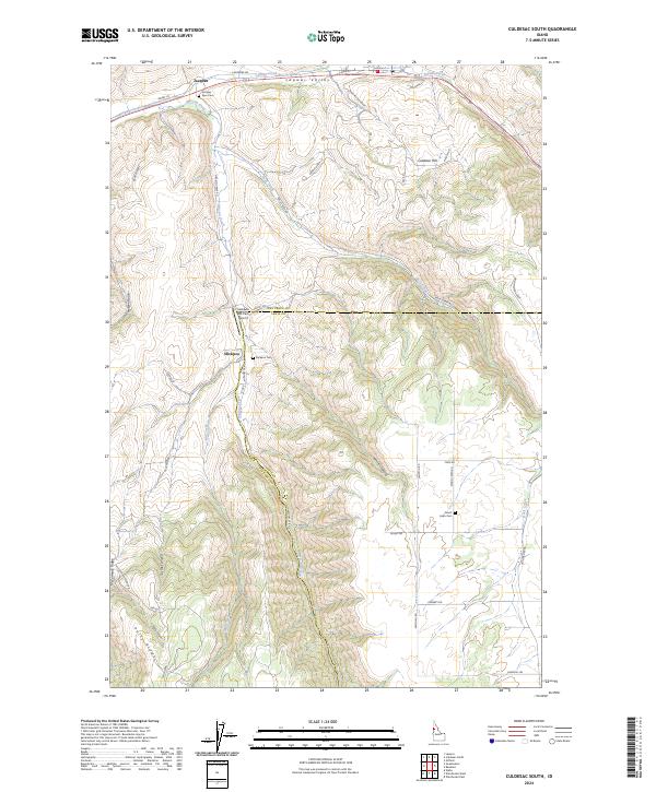 2024 Culdesac South2024 Print · USGSNez Perce and Lewis counties are captured here in recent years, showing the high-relief landscape between the Lapwai Valley and Polly Ridge. Researchers can trace rural lineages through the Jacques Spur Cem, Slickpoo Cem, and the high-plateau settlement of Forest.
End of results
Showing maps 1-16 of 16
Top cities near Culdesac
Frequently asked questions
- What are the different types of historical maps available for Culdesac?
- What is the oldest map of Culdesac?
- Where can I purchase historical maps of Culdesac for my home or office?
- Where can I download high-res historical maps of Culdesac?
- Are there historical topographic maps available for Culdesac?
- Is there historical aerial imagery available for Culdesac?
- Where are historical maps of Culdesac sourced from?