Old Maps of Culdesac, Idaho for Metal Detecting
Plan your next treasure hunt with 16 historic maps of Culdesac. Find old homesites, ghost towns, trails, and gathering spots that may be lost to time — perfect for identifying promising metal detecting locations.
- Locate forgotten sites: Uncover places like long-lost settlements, abandoned rail lines, or gathering spots.
- Plan better hunts: Use map overlays combined with LiDAR or satellite views to narrow in on historically rich areas.
- Made for detectorists: Thousands of hobbyists use these maps to discover relics, coins, and hidden history.
Use these historic maps to boost your research and find new opportunities beneath the surface of Culdesac.
Culdesac, ID maps
(16)- 1955 Map of Pullman, 1963 Print
 1955 Pullman1963 Print · USGSThe Palouse and Clearwater regions are captured here in the mid-1950s, showing the height of the rail-and-river economy. Genealogists and historians can trace rail lines like the Camas Prairie RR, find local landmarks like Whitman County Memorial Cem, and locate early academic centers at Washington State University and the University of Idaho.3 unique versions available
 - 1958 Map of Pullman
 1958 Pullman1958 Print · USGSThe Palouse and Clearwater regions are captured here in the late fifties, showing the vital river-and-rail connection between eastern Washington and northern Idaho. Local historians can trace the paths of the Camas Prairie RR and Union Pacific RR as they serve towns like Colfax, Kamiah, and Nezperce.2 unique versions available
 - 1958 Map of Culdesac, 1960 Print
 1958 Culdesac1960 Print · USGSThe Nez Perce and Lewis county borderlands in the late fifties show a landscape of steep canyons and high grain prairies. Trace the winding Camas Prairie RR through the tunnels of Culdesac Hill or locate the historic Slickpoo St Joseph Mission.2 unique versions available
 - 1981 Map of Orofino, 1982 Print
 1981 Orofino1982 Print · USGSNorth central Idaho comes into focus in the early eighties, showing the deep river canyons and agricultural plateaus of the Nez Perce Indian Reservation. Genealogists and historians can trace the Camas Prairie rail line through rural hubs like Ferdinand, Mohler, and Reubens.
 - 1984 Map of Culdesac North, 1985 Print
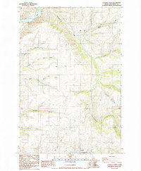 1984 Culdesac North1985 Print · USGSThe Nez Perce uplands meet the river canyons in the mid-1980s, documenting a landscape shaped by deep drainages and rural industry. Researchers can find old family sites and landmarks including Glasby Cem, the steep Kettenbach Grade, and the settlement of Myrtle.
 - 1985 Map of Culdesac South
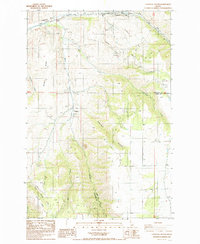 1985 Culdesac South1985 Print · USGSNez Perce and Lewis counties come together in this mid-eighties survey of the high plateau and canyon breaks. Genealogists and local historians can locate the community of Slickpoo and the rural cemetery while tracing water sources like Howerton Spring and Mission Creek.
 - 2010 Map of Culdesac South, 2010 Print
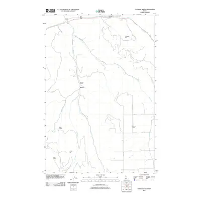 2010 Culdesac South2010 Print · USGSCanyons and creek valleys south of Culdesac are documented in this recent survey of northern Idaho. Genealogists and local historians can trace family-named routes and landmarks like Slickpoo, Forest Lawn Cemetery, and the steep Winchester Grade.
 - 2010 Map of Culdesac North, 2010 Print
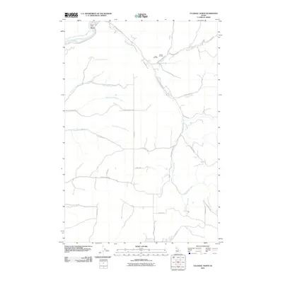 2010 Culdesac North2010 Print · USGSNez Perce County is mapped here during the early twenty-first century as the landscape of the Clearwater River valley and its surrounding plateaus continues its rural character. Researchers can trace family history at the Indian Cemetery and Glasby Cemetery or follow old routes like Kettenbach Grade and Indian Trl.
 - 2013 Map of Culdesac South, 2013 Print
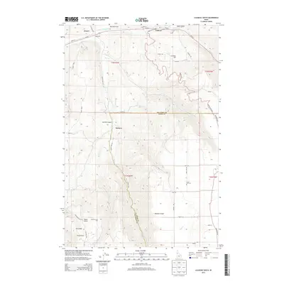 2013 Culdesac South2013 Print · USGSIn the Idaho canyon country during the early twenty-first century, the rugged border between Nez Perce and Lewis counties reveals a landscape of high ridges and deep draws. Genealogists and historians can trace local landmarks like Slickpoo, Forest Lawn Cem, and the old rail siding at Jacques Spur.
 - 2013 Map of Culdesac North, 2013 Print
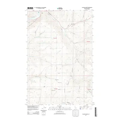 2013 Culdesac North2013 Print · USGSNez Perce County, Idaho, is mapped here during the early 2010s, showing the intricate canyon lands between the Clearwater River and Culdesac. Genealogists can locate Glasby Cem and trace old routes like the Kettenbach Grade and Indian Trl.
 - 2017 Map of Culdesac North, 2017 Print
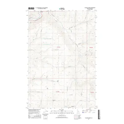 2017 Culdesac North2017 Print · USGSNez Perce County's high plateaus and river breaks are captured here in the late twenty-teens, showing a landscape defined by deep gulches and upland ranching. Researchers can trace historic local transit and burial sites like the Kettenbach Grade and Glasby Cem.
 - 2017 Map of Culdesac South, 2017 Print
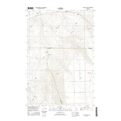 2017 Culdesac South2017 Print · USGSThe Nez Perce and Lewis county borderlands come into focus in this recent survey of the Idaho uplands. Researchers can trace the winding paths of the Winchester Grade and locate historical landmarks like Slickpoo, Jacques, and the Forest Lawn Cemetery.
 - 2020 Map of Culdesac South, 2020 Print
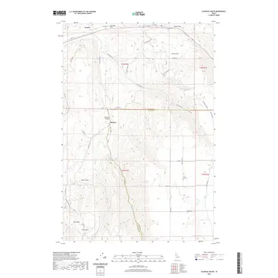 2020 Culdesac South2020 Print · USGSUpper Idaho's high-plateau terrain and steep canyon breaks are documented here in the early twenty-first century. Genealogists and local historians can trace family locations near Slickpoo, Jacques, and the Forest Lawn Cemetery in the Lapwai Valley.
 - 2020 Map of Culdesac North, 2020 Print
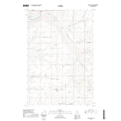 2020 Culdesac North2020 Print · USGSThe Nez Perce County uplands and the Lapwai Valley are captured here in the modern era as they transition into the Clearwater canyon. Local researchers can trace family landmarks like the Glasby Cem or follow old routes along Kettenbach Grade and Garden Gulch.
 - 2024 Map of Culdesac North, 2024 Print
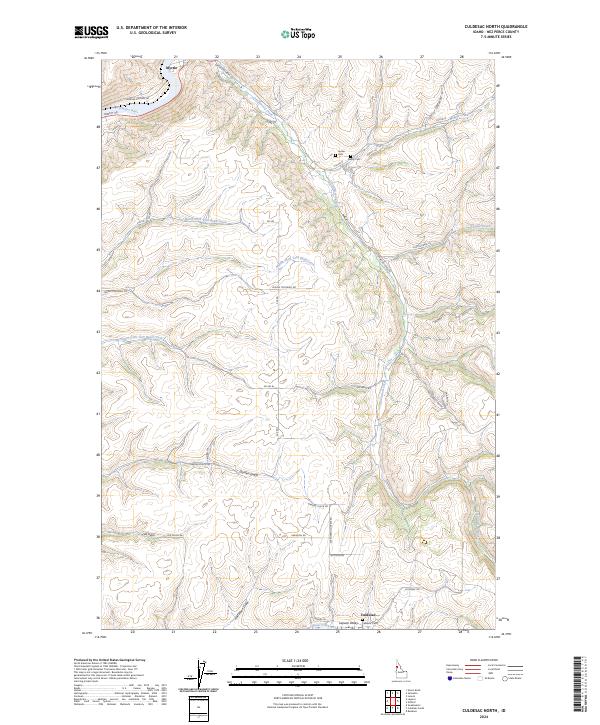 2024 Culdesac North2024 Print · USGSNez Perce County is captured in this modern survey of the canyon and plateau country near the turn of the 2020s. Researchers can trace family history at Indian Cem or Glasby Cem and explore the rural reaches of Garden Gulch.
 - 2024 Map of Culdesac South, 2024 Print
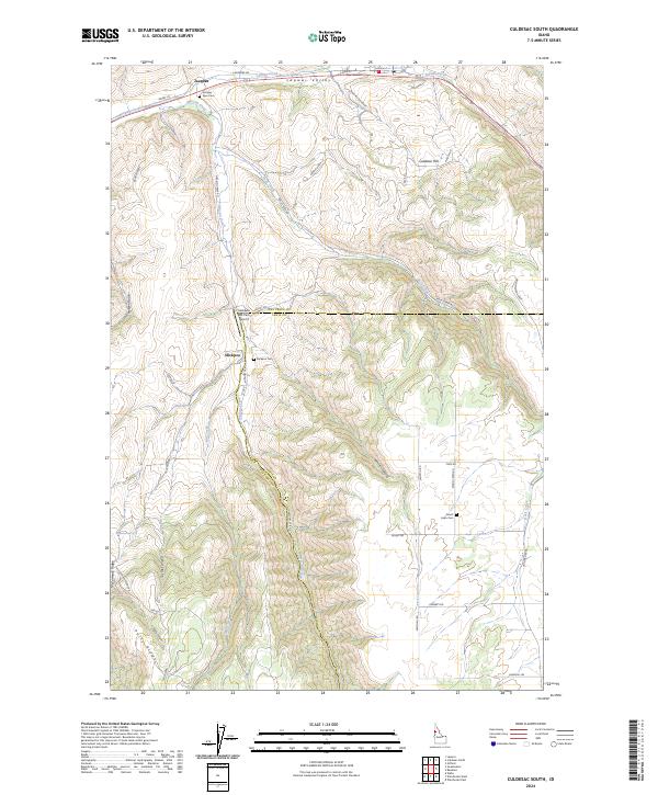 2024 Culdesac South2024 Print · USGSNez Perce and Lewis counties are captured here in recent years, showing the high-relief landscape between the Lapwai Valley and Polly Ridge. Researchers can trace rural lineages through the Jacques Spur Cem, Slickpoo Cem, and the high-plateau settlement of Forest.
End of results
Showing maps 1-16 of 16
Top cities near Culdesac
Frequently asked questions
- What are the different types of historical maps available for Culdesac?
- What is the oldest map of Culdesac?
- Where can I purchase historical maps of Culdesac for my home or office?
- Where can I download high-res historical maps of Culdesac?
- Are there historical topographic maps available for Culdesac?
- Is there historical aerial imagery available for Culdesac?
- Where are historical maps of Culdesac sourced from?