Old Maps of Fruitland, Idaho for Metal Detecting
Plan your next treasure hunt with 21 historic maps of Fruitland. Find old homesites, ghost towns, trails, and gathering spots that may be lost to time — perfect for identifying promising metal detecting locations.
- Locate forgotten sites: Uncover places like long-lost settlements, abandoned rail lines, or gathering spots.
- Plan better hunts: Use map overlays combined with LiDAR or satellite views to narrow in on historically rich areas.
- Made for detectorists: Thousands of hobbyists use these maps to discover relics, coins, and hidden history.
Use these historic maps to boost your research and find new opportunities beneath the surface of Fruitland.
Fruitland, ID maps
(21)- 1897 Map of Weiser
 1897 Weiser1897 Print · USGSThe Idaho-Oregon borderlands come alive in the 1890s as the Oregon Short Line connects river towns along the Snake River. Researchers can trace the early footprints of Weiser, Payette, and Middle Valley alongside now-obscure points like Mosquite and Washoe.5 unique versions available
 - 1898 Map of Nampa
 1898 Nampa1898 Print · USGSThe Treasure Valley's transformation is visible in the 1890s as railroads and massive irrigation projects began to reshape the high desert. Researchers can trace the development of early rail lines like the Boise Nampa & Owyhee R. R. and early canals such as the Riverside Canal and Newman Canal.4 unique versions available
 - 1951 Map of Payette, 1953 Print
 1951 Payette1953 Print · USGSThe Snake River valley in the early fifties is captured here at the busy intersection of the Pacific Northwest's rail and river networks. Researchers can trace the Old Oregon Trail Highway or locate local landmarks like the Orchard Ave Grange Hall and Riverside Cemetery.3 unique versions available
 - 1955 Map of Baker, 1964 Print
 1955 Baker1964 Print · USGSThe Oregon-Idaho borderlands are captured here in the mid-fifties as the Snake River underwent massive changes from dam construction. Trace the Oregon Trail Memorial Monument near Baker, find early mines like Virtue Mine, and follow the Union Pacific Railroad through Huntington.4 unique versions available
 - 1955 Map of Boise, 1977 Print
 1955 Boise1977 Print · USGSThe Treasure Valley and Owyhee uplands are shown in detail during the mid-fifties, capturing the region's transition into a major agricultural and urban hub. Researchers can trace the Union Pacific line through Nampa, explore the volcanic Jordan Craters, or locate the historic mining district of Silver City.
 - 1958 Map of Boise
 1958 Boise1958 Print · USGSThe Treasure Valley and Snake River Plain come alive in the mid-fifties as the rail-and-river economy transitions into a modern agricultural hub. Trace the Union Pacific lines through Nampa or locate remote landmarks like Initial Point and the Rockville settlement.2 unique versions available
 - 1959 Map of Baker
 1959 Baker1959 Print · USGSThe Oregon and Idaho borderlands come alive in the late fifties, showing the rugged corridor along the Snake River and the high peaks of the Wallowa Mountains. Researchers can trace the legacy of the Union Pacific railroad or locate historic mining sites like the Flagstaff Mine and Virtue Mine.2 unique versions available
 - 1962 Map of Boise
 1962 Boise1962 Print · USGSThe Treasure Valley at the start of the sixties reveals a landscape of expanding towns and complex irrigation networks along the Snake River. Genealogists and historians can trace the foundations of modern Idaho through markers like Initial Point, the mining history of Silver City, and the early infrastructure of Lucky Peak Dam.
 - 1965 Map of Nyssa, 1967 Print
 1965 Nyssa1967 Print · USGSThe borderlands of Oregon and Idaho come alive in the mid-1960s as the Snake River winds past Nyssa and its surrounding agricultural islands. Genealogists and historians can trace local landmarks like the De Lamar Grange Hall, the Union Pacific rail lines, and the extensive irrigation networks of Farmers Ditch.
 - 1974 Map of Payette, 1975 Print
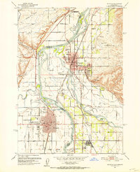
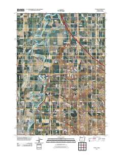
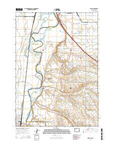
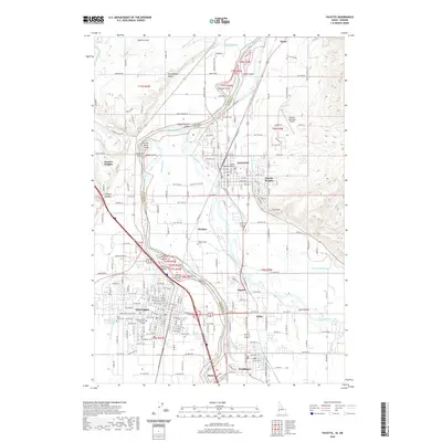
 1974 Payette1975 Print · USGSThe Idaho-Oregon border comes into focus in the mid-seventies, centered on the strategic river junction of the Snake and Payette. Genealogists and researchers can trace the detailed street grids and early industrial footprints of Payette, Ontario, and Fruitland as they appeared decades ago.
 - 1980 Map of Weiser, 1993 Print
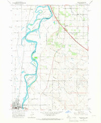
 1980 Weiser1993 Print · USGSThe Snake River valley and the foothills of the Boise Mountains are captured here in the 1980s, showing the vital rail and water infrastructure of the region. Researchers can trace the Union Pacific line through Payette or locate rural landmarks like Hog Cove Butte and Wilburn Butte.
 - 1981 Map of Boise
 1981 Boise1981 Print · USGSThe Boise River valley and Treasure Plain are captured here in the early eighties as urban expansion began to link the regional hubs of the Snake River plain. Researchers can trace the development of Nampa, Caldwell, and Meridian or locate landmarks like Lake Lowell and Eagle Island State Park.2 unique versions available
 - 2011 Map of Payette, 2011 Print
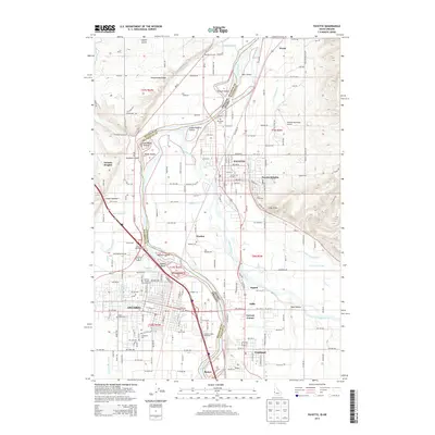
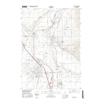
 2011 Payette2011 Print · USGSCovers Fruitland, including Ontario, Payette, and other nearby areas
 - 2011 Map of Nyssa, 2011 Print
 2011 Nyssa2011 Print · USGSCovers Fruitland, including Nyssa, Arcadia, and other nearby areas
 - 2013 Map of Payette, 2013 Print
 2013 Payette2013 Print · USGSCovers Fruitland, including Ontario, Payette, and other nearby areas
 - 2014 Map of Nyssa, 2014 Print
 2014 Nyssa2014 Print · USGSCovers Fruitland, including Nyssa, Arcadia, and other nearby areas
 - 2017 Map of Payette, 2017 Print
 2017 Payette2017 Print · USGSCovers Fruitland, including Ontario, Payette, and other nearby areas
 - 2020 Map of Nyssa, 2020 Print
 2020 Nyssa2020 Print · USGSCovers Fruitland, including Nyssa, Arcadia, and other nearby areas
 - 2020 Map of Payette, 2020 Print
 2020 Payette2020 Print · USGSCovers Fruitland, including Ontario, Payette, and other nearby areas
 - 2024 Map of Payette, 2024 Print
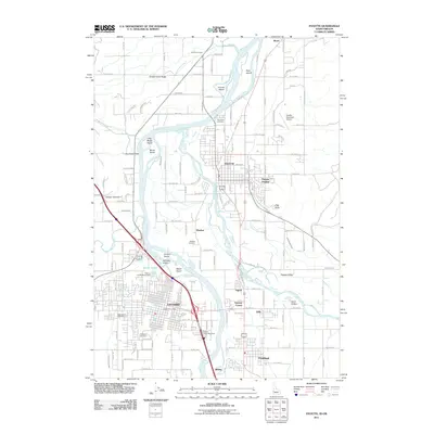
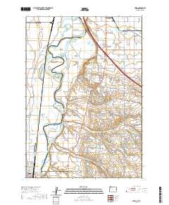
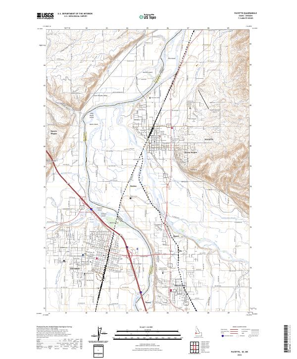 2024 Payette2024 Print · USGSThe interstate border along the Snake River comes alive in the mid-2020s, showing the agricultural and civic growth of Payette and Ontario. Researchers can trace local history through sites like the Payette County Courthouse, Washoe Cem, and the Owyhee Canal.
 - 2024 Map of Nyssa, 2024 Print
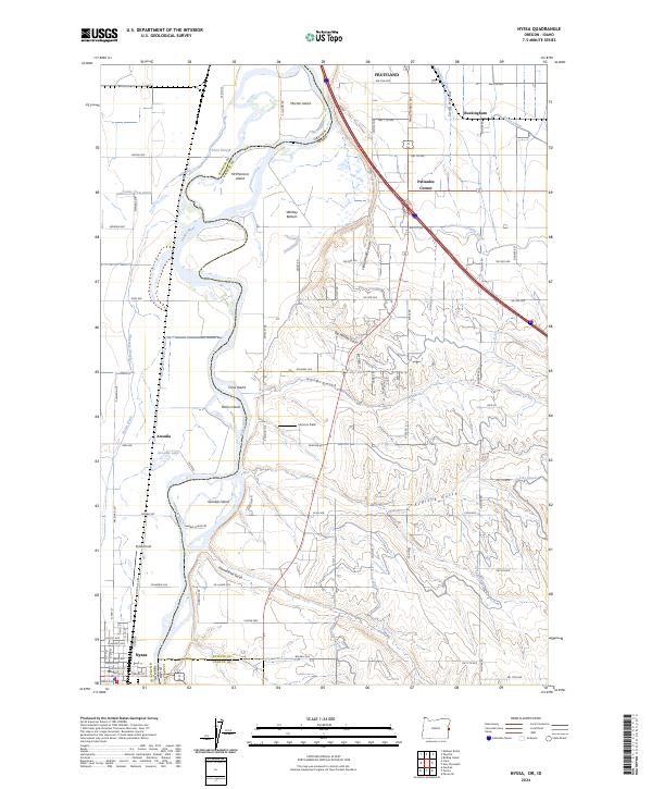 2024 Nyssa2024 Print · USGSThe Oregon-Idaho border comes alive in this study of the Snake River valley as it appeared in the mid-2020s. Genealogists and historians can trace family lands near Arcadia, explore the irrigation networks of Noble Canal, or locate early settlements like Palisades Corner.
End of results
Showing maps 1-21 of 21
Top cities near Fruitland
- Ontario historical maps
- Payette historical maps
- Weiser historical maps
- Nyssa historical maps
- New Plymouth historical maps
Frequently asked questions
- What are the different types of historical maps available for Fruitland?
- What is the oldest map of Fruitland?
- Where can I purchase historical maps of Fruitland for my home or office?
- Where can I download high-res historical maps of Fruitland?
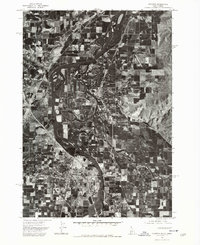
- Are there historical topographic maps available for Fruitland?
- Is there historical aerial imagery available for Fruitland?
- Where are historical maps of Fruitland sourced from?