Old Maps of American Falls, Idaho for Academic Research
Study the evolution of American Falls with 12 high-resolution historic maps. Whether you're teaching, researching, or modeling changes in land use, these maps provide essential visual documentation of urban, environmental, and geographic change.
- Analyze long-term change: Track patterns in development, transportation, and natural features.
- Ideal for environmental or urban studies: Support academic projects with primary historical map data.
- Use in the classroom or lab: Educators and researchers rely on these maps to bring historical context to life.
These maps are a powerful tool for teaching, research, and visualizing how American Falls has changed over the decades.
American Falls, ID maps
(12)- 1934 Map of American Falls, 1957 Print
 1934 American Falls1957 Print · USGSThe Snake River region in the mid-1930s shows a landscape of massive water projects and ranching roots. Genealogists and historians can trace the Old Oregon Trail, locate remote rural schools like Mt Hope Sch, and see the early footprint of the American Falls Dam.
 - 1936 Map of American Falls
 1936 American Falls1936 Print · USGSPower and Bingham counties are captured in the mid-1930s, showing the early years of the massive reservoir on the Snake River. Genealogists and historians can trace family-named sites like Kerr Ranch and a network of schools including Williams Sch and Range Sch.
 - 1954 Map of Pocatello, 1963 Print
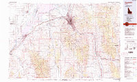
 1954 Pocatello1963 Print · USGSSoutheast Idaho in the mid-1950s reveals a landscape shaped by massive water reclamation and mountain forests. Researchers can trace the development of the Fort Hall Indian Reservation or locate specific landmarks like the Arbon P O and Emerson School.4 unique versions available
 - 1958 Map of Pocatello
 1958 Pocatello1958 Print · USGSSoutheastern Idaho in the late fifties was a landscape of expanding reservoirs and historic trails. Genealogists and historians can trace the Old Oregon Trail, locate the Bannock Creek Indian Day School, and study the many Union Pacific rail sidings.2 unique versions available
 - 1971 Map of American Falls, 1974 Print
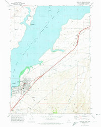 1971 American Falls1974 Print · USGSAmerican Falls is captured here in the early 1970s at the intersection of the Snake River and the Union Pacific rail line. Researchers can trace the town's civic layout, find Falls View Cem, and study the massive American Falls Dam and its reservoir.
 - 1976 Map of American Falls, 1980 Print
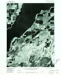 1976 American Falls1980 Print · USGSAmerican Falls and the expansive Snake River plain are documented in the mid-seventies through detailed aerial photography. Genealogists and land historians can trace the precise development of American Falls and the shoreline of the American Falls Reservoir.
 - 1984 Map of Pocatello
 1984 Pocatello1984 Print · USGSSoutheast Idaho in the early eighties centers on the industrial and rail corridor between Pocatello and the Snake River. Genealogists and historians can trace routes through the Fort Hall Indian Reservation or locate family sites near American Falls and Lava Hot Springs.2 unique versions available
 - 2010 Map of American Falls, 2010 Print
 2010 American Falls2010 Print · USGSCovers American Falls, including Bingham County, Power County, and other nearby areas
 - 2013 Map of American Falls, 2013 Print
 2013 American Falls2013 Print · USGSCovers American Falls, including Bingham County, Power County, and other nearby areas
 - 2017 Map of American Falls, 2017 Print
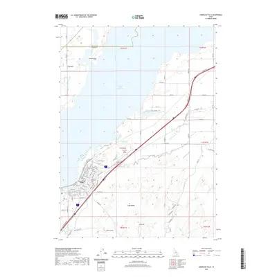
 2017 American Falls2017 Print · USGSCovers American Falls, including Bingham County, Power County, and other nearby areas
 - 2020 Map of American Falls, 2020 Print
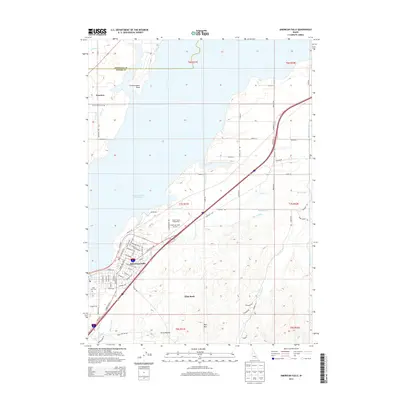
 2020 American Falls2020 Print · USGSCovers American Falls, including Bingham County, Power County, and other nearby areas
 - 2024 Map of American Falls, 2024 Print
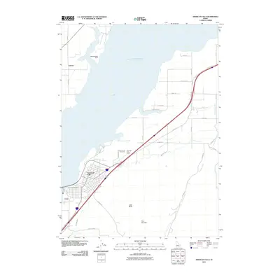
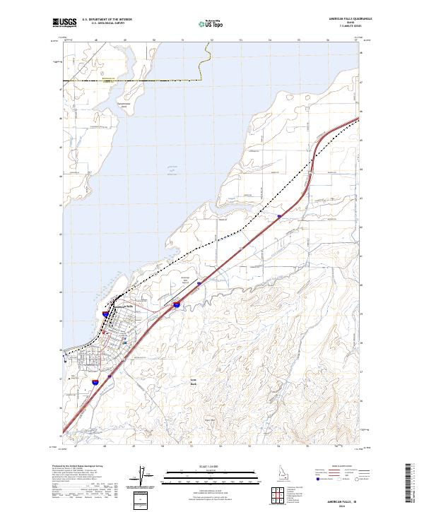 2024 American Falls2024 Print · USGSThe high desert of Power County comes alive in this survey of the American Falls area. Researchers can trace the extensive irrigation networks of the Main West Canal, locate the Power County Courthouse, and find the Falls View Cem along the reservoir's banks.
End of results
Showing maps 1-12 of 12
Top cities near American Falls
Frequently asked questions
- What are the different types of historical maps available for American Falls?
- What is the oldest map of American Falls?
- Where can I purchase historical maps of American Falls for my home or office?
- Where can I download high-res historical maps of American Falls?
- Are there historical topographic maps available for American Falls?
- Is there historical aerial imagery available for American Falls?
- Where are historical maps of American Falls sourced from?