2000s (21st Century) Maps of Yellow Pine, Idaho
Explore 6 historic maps of Yellow Pine from the 2000s (21st Century). These maps offer a rare glimpse into what life looked like during the 2000s — showing old roads, neighborhoods, homes, and landmarks that have changed or disappeared over time.
Whether you're researching your family's past, planning a metal detecting trip, or studying how Yellow Pine's landscape evolved across the 2000s, these high-resolution maps are a powerful tool for exploring the history of this region.
- Focus on a specific era: All maps on this page are from the 2000s, giving you a focused view of this time period.
- See what’s changed: Compare century-old streets, trails, and buildings to today's modern landscape using overlays and satellite layers.
- Research with precision: Use these maps for genealogy, historical research, land use analysis, or educational projects.
- View, download, or print: Maps are fully viewable online in high resolution, and can be downloaded or printed for your own records.
Start exploring Yellow Pine's history through authentic maps from the 2000s. This is your window into the past.
Yellow Pine, ID maps
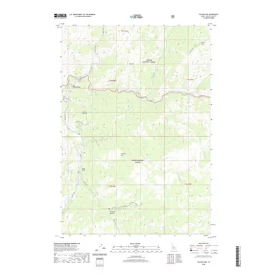
(6)- 2004 Map of Yellow Pine, 2007 Print
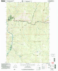 2004 Yellow Pine2007 Print · USGSRemote Idaho mountain life and aviation history converge here in the early 2000s at the edge of the wilderness. Researchers can trace historic family landmarks like the Abstein Place or Bryant Ranch and locate the Pioneer Cem near the banks of Johnson Creek.
 - 2011 Map of Yellow Pine, 2011 Print
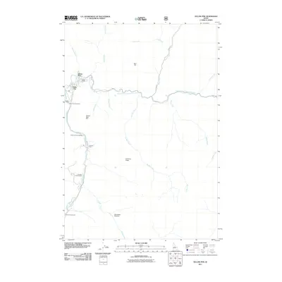 2011 Yellow Pine2011 Print · USGSCovers Yellow Pine, including Valley County, United States, and other nearby areas
 - 2013 Map of Yellow Pine, 2013 Print
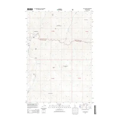 2013 Yellow Pine2013 Print · USGSCovers Yellow Pine, including Valley County, United States, and other nearby areas
 - 2017 Map of Yellow Pine, 2017 Print
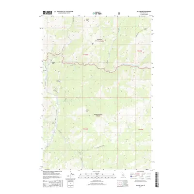 2017 Yellow Pine2017 Print · USGSCovers Yellow Pine, including Valley County, United States, and other nearby areas
 - 2020 Map of Yellow Pine, 2020 Print
 2020 Yellow Pine2020 Print · USGSCovers Yellow Pine, including Valley County, United States, and other nearby areas
 - 2024 Map of Yellow Pine, 2024 Print
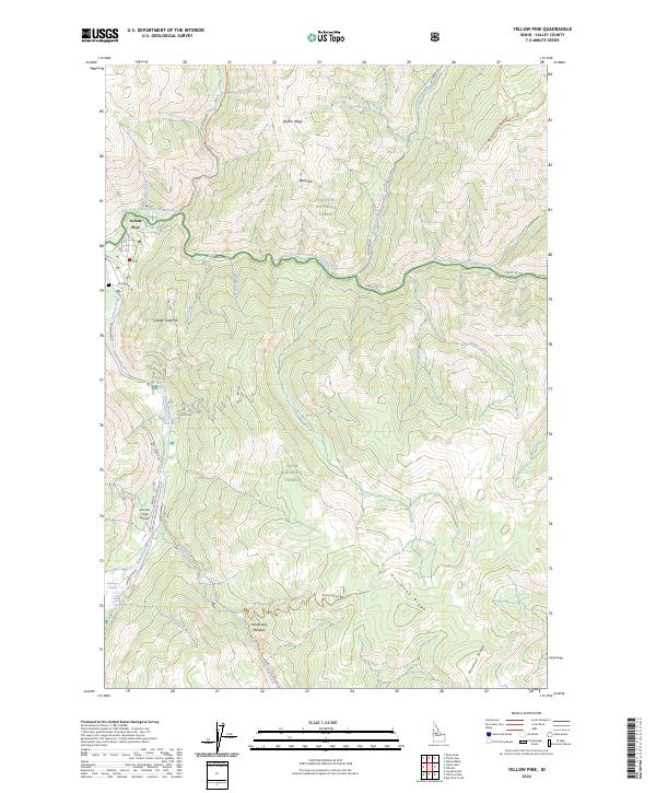 2024 Yellow Pine2024 Print · USGSIn the Idaho backcountry during the early 2020s, the isolated settlement of Yellow Pine remains a vital waypoint for mountain travel. Historians can trace the routes between the Johnson Creek Airport, the Antimony mining area, and the Hennessey Meadow highlands.
End of results
Showing maps 1-6 of 6
Frequently asked questions
- What are the different types of historical maps available for Yellow Pine?
- What is the oldest map of Yellow Pine?
- Where can I purchase historical maps of Yellow Pine for my home or office?
- Where can I download high-res historical maps of Yellow Pine?
- Are there historical topographic maps available for Yellow Pine?
- Is there historical aerial imagery available for Yellow Pine?
- Where are historical maps of Yellow Pine sourced from?