1980s Maps of Washington County, Idaho
Explore 28 historic maps of Washington County from the 1980s. These maps offer a rare glimpse into what life looked like during the 1980s — showing old roads, neighborhoods, homes, and landmarks that have changed or disappeared over time.
Whether you're researching your family's past, planning a metal detecting trip, or studying how Washington County's landscape evolved across the 1980s, these high-resolution maps are a powerful tool for exploring the history of this region.
- Focus on a specific era: All maps on this page are from the 1980s, giving you a focused view of this time period.
- See what’s changed: Compare century-old streets, trails, and buildings to today's modern landscape using overlays and satellite layers.
- Research with precision: Use these maps for genealogy, historical research, land use analysis, or educational projects.
- View, download, or print: Maps are fully viewable online in high resolution, and can be downloaded or printed for your own records.
Start exploring Washington County's history through authentic maps from the 1980s. This is your window into the past.
Washington County, ID maps
(28)- 1980 Map of McCall, 1993 Print
 1980 McCall1993 Print · USGSThe high timber country and glacial lakes of the West Mountains are documented here in the early eighties. Genealogists and local historians can trace the Union Pacific rail line and family-linked sites like Roseberry, Starkey, and the North Hornet Mine.2 unique versions available
 - 1980 Map of Weiser, 1993 Print
 1980 Weiser1993 Print · USGSThe Snake River valley and the foothills of the Boise Mountains are captured here in the 1980s, showing the vital rail and water infrastructure of the region. Researchers can trace the Union Pacific line through Payette or locate rural landmarks like Hog Cove Butte and Wilburn Butte.
 - 1980 Map of Brogan, 1997 Print
 1980 Brogan1997 Print · USGSThe Oregon-Idaho borderlands come alive in this late-century survey of the high desert and river valleys. Researchers can trace the legacy of ranching and transport through sites like Malheur City, the Union Pacific rail lines, and the Snake River crossings.
 - 1981 Map of Baker
 1981 Baker1981 Print · USGSEastern Oregon in the early eighties shows a landscape of deep canyons and high mountain mining districts. Genealogists and researchers can trace the Union Pacific corridor through Baker or locate remote operations like the Young American Mine and Rachel Mine.2 unique versions available
 - 1986 Map of Peck Mountain
 1986 Peck Mountain1986 Print · USGSThe high country of the Payette National Forest is captured here in the mid-1980s at the intersection of Washington and Adams counties. Historians and outdoor researchers can trace the drainages of Hornet Creek and locate landmarks like Peck Mountain and Stony Point.
 - 1986 Map of Crane Creek Reservoir
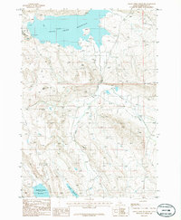 1986 Crane Creek Reservoir1986 Print · USGSThe high-desert terrain of the Idaho-Washington county line is captured here in the 1980s. Local researchers can trace water systems from Crane Creek Reservoir and Paddock Valley Reservoir to landmarks like Ant Butte.
 - 1986 Map of Crooked River Point
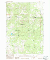 1986 Crooked River Point1986 Print · USGSThe high peaks of the Cuddy Mountains straddle the border of Adams and Washington Counties in the mid-1980s. Researchers can locate remote high-altitude landmarks like Devils Slide, trace the waters of Hornet Reservoir, and explore the reaches of Payette National Forest.
 - 1986 Map of East of Cambridge
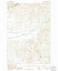 1986 East of Cambridge1986 Print · USGSThe Salubria Valley of Washington County is captured here in the 1980s, showcasing the intersection of river life and high-desert ranching. Genealogists and local historians can locate the rural Cem and trace the winding paths of the Weiser River and Dixie Creek.
 - 1986 Map of Nutmeg Flat
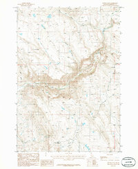 1986 Nutmeg Flat1986 Print · USGSWashington County, Idaho, is documented here in the mid-1980s, showing a landscape of deep canyons and isolated summits. Local historians and hikers can trace the paths around Nutmeg Flat and find the exact positions of Hot Springs or the Borrow Pit.
 - 1986 Map of Hog Creek Butte
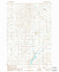 1986 Hog Creek Butte1986 Print · USGSThe high country of Washington and Adams counties is captured in the mid-1980s, showing a landscape shaped by water management and topography. Researchers can trace the shoreline of Crane Creek Reservoir or locate landmarks like Hog Creek Butte and Groner Reservoir.
 - 1986 Map of Midvale
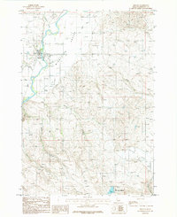 1986 Midvale1986 Print · USGSMidvale and the agricultural lands of Idaho's Middle Valley are captured here in the mid-1980s. Genealogists and local historians can trace family properties near the Cem or follow the waters of the Weiser River and Little Crane Creek Reservoir.
 - 1986 Map of Cambridge
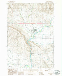 1986 Cambridge1986 Print · USGSThe town of Cambridge and the surrounding agricultural valleys are captured here in the mid-eighties as they appeared before modern expansion. Researchers can trace the irrigation network of the Middle Valley Canal and locate local landmarks like the Fairground and Keithly.
 - 1986 Map of Rush Peak
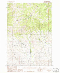 1986 Rush Peak1986 Print · USGSThe Cuddy Mountains in the mid-eighties offered a landscape of high-elevation meadows and forest interior. Researchers can trace the backcountry network of Pack Trails, the isolated settlement at Goodrich, and landmarks like Calamity Meadows and Rush Peak.
 - 1987 Map of Weiser North
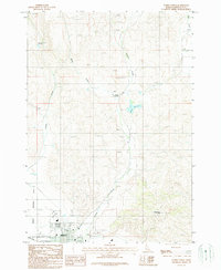 1987 Weiser North1987 Print · USGSWeiser's northern fringe and the surrounding high desert are captured here in the late eighties as the town meets the agriculture of the Snake River valley. Researchers can trace the local infrastructure from the Rodeo Grounds and Union Pacific tracks to landmarks like Devils Elbow and Barton Reservoir.
 - 1987 Map of Mann Creek SE
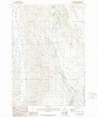 1987 Mann Creek SE1987 Print · USGSThe Weiser River valley in the late 1980s reveals a landscape defined by water management and rail transport. Researchers can trace the Union Pacific line past Presley or locate historical infrastructure like the Galloway Dam and Sunnyside Canal.
 - 1987 Map of Olds Ferry NE
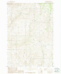 1987 Olds Ferry NE1987 Print · USGSHigh-desert terrain in the Idaho-Washington borderlands comes into focus in the late 1980s. Local researchers can locate historic ranching sites like the Corral or trace water rights along Warm Spring Creek and Monroe Creek.
 - 1987 Map of Brownlee Dam
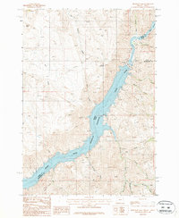 1987 Brownlee Dam1987 Print · USGSThe Oregon-Idaho border at the Snake River is defined by industrial scale and remote canyon terrain in the late 1980s. Researchers can trace the engineering of Brownlee Dam, explore the winding shoreline of Brownlee Reservoir, and locate small settlements like Wildhorse and Heath.
 - 1987 Map of Connor Creek
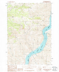 1987 Connor Creek1987 Print · USGSThe Oregon-Idaho border along the Snake River is captured here in the late twentieth century, showing a landscape shaped by water and mining. Researchers can trace the location of the Snake River Mine and examine the rugged drainage basins of Connor Creek and Sawmill Basin.
 - 1987 Map of Midvale Hill
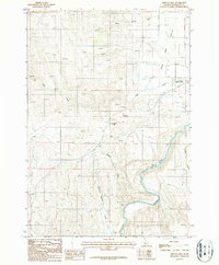 1987 Midvale Hill1987 Print · USGSWashington County in the 1980s shows a landscape shaped by the Weiser River and the Union Pacific railroad. Genealogists and historians can trace family-named landmarks like Keithly Creek and local hubs like the Lee Williams Memorial Airport.
 - 1987 Map of Neil Gulch
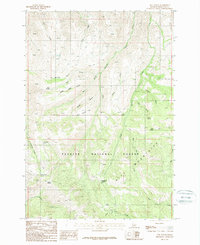 1987 Neil Gulch1987 Print · USGSThe high Hitt Mountains are captured here in the late eighties, showing a landscape defined by forestry and remote ridges. Researchers can trace historic access points through Telephone Saddle, find reliable water at Arrowhead Spring, and locate the industrial Gravel Pit.
 - 1987 Map of Sturgill Creek
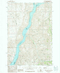 1987 Sturgill Creek1987 Print · USGSThe Snake River canyon at the Idaho-Oregon border is captured here during the 1980s, showcasing the high-desert terrain and the waters of Brownlee Reservoir. Trace the drainage patterns through Sturgill Gulch, locate Andrew Spring, and explore the western edge of the Payette National Forest.
 - 1987 Map of Sturgill Peak
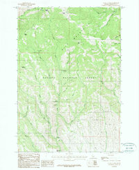 1987 Sturgill Peak1987 Print · USGSThe Hitt Mountains and Payette National Forest appear here during the late twentieth century, showing a landscape dedicated to forestry and recreation. Researchers can locate remote high-altitude landmarks like the Sturgill Lookout Tower, the Mann Creek Guard Station, and campgrounds such as Justrite and Paradise.
 - 1987 Map of Hopper Creek
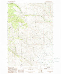 1987 Hopper Creek1987 Print · USGSThe high ridges of the H-I Mountains and the Payette National Forest are captured here in the late eighties. Researchers can trace remote water sources and drainage patterns through Shoe Peg Valley, Looney Spring, and Fairchild Gulch.
 - 1987 Map of Cuddy Mountain
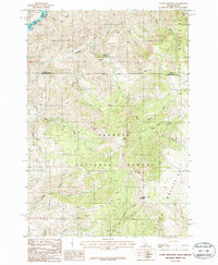 1987 Cuddy Mountain1987 Print · USGSThe Cuddy Mountains and the Snake River corridor are captured here in the late eighties, showing a landscape defined by high-altitude forestry and mining. Genealogists and historians can trace numerous remote Prospects, the steep descent of the Grade, and Wildhorse Falls.
 - 1987 Map of Posy Valley
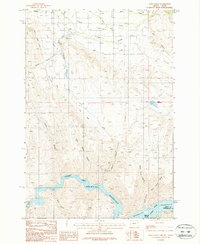 1987 Posy Valley1987 Print · USGSEastern Oregon ranching and river life are captured here in the late eighties, showing the confluence of the Powder River and Brownlee Reservoir. Genealogists can trace the rural layout of Halfway and Pine, alongside local landmarks like the Fairground and Pine Ranger Station.
Showing maps 1-25 of 28
Top cities of Washington County
Frequently asked questions
- What are the different types of historical maps available for Washington County?
- What is the oldest map of Washington County?
- Where can I purchase historical maps of Washington County for my home or office?
- Where can I download high-res historical maps of Washington County?
- Are there historical topographic maps available for Washington County?
- Is there historical aerial imagery available for Washington County?
- Where are historical maps of Washington County sourced from?