1970s Maps of Washington County, Idaho
Explore 11 historic maps of Washington County from the 1970s. These maps offer a rare glimpse into what life looked like during the 1970s — showing old roads, neighborhoods, homes, and landmarks that have changed or disappeared over time.
Whether you're researching your family's past, planning a metal detecting trip, or studying how Washington County's landscape evolved across the 1970s, these high-resolution maps are a powerful tool for exploring the history of this region.
- Focus on a specific era: All maps on this page are from the 1970s, giving you a focused view of this time period.
- See what’s changed: Compare century-old streets, trails, and buildings to today's modern landscape using overlays and satellite layers.
- Research with precision: Use these maps for genealogy, historical research, land use analysis, or educational projects.
- View, download, or print: Maps are fully viewable online in high resolution, and can be downloaded or printed for your own records.
Start exploring Washington County's history through authentic maps from the 1970s. This is your window into the past.
Washington County, ID maps
(11)- 1970 Map of Dodson Pass, 1973 Print
 1970 Dodson Pass1973 Print · USGSThe Gem and Washington county line in the early 1970s is a landscape of remote forest outposts and high-mountain passes. Trace old wilderness access routes to Third Fork Guard Station, Dodson Pass, and the waters of Beech Lake.
 - 1970 Map of Paddock Valley Reservoir, 1973 Print
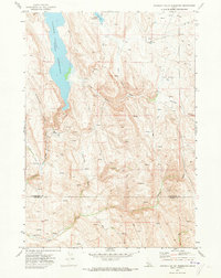 1970 Paddock Valley Reservoir1973 Print · USGSThe high-desert ranching country of western Idaho is captured here in the early 1970s, focused on the critical water management of the region. Researchers can trace historic grazing routes and water sources across Little Willow Flat or follow the drainages of Indian Creek and Rattlesnake Creek.
 - 1970 Map of Coonrod Gulch, 1973 Print
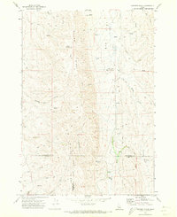 1970 Coonrod Gulch1973 Print · USGSSouthwestern Idaho ranching country is captured here in the early seventies, where Washington, Payette, and Gem counties meet. Trace the remote Butte Ranch and the network of high-country water sources like Mossman Spring and French Spring.
 - 1970 Map of Granger Butte, 1973 Print
 1970 Granger Butte1973 Print · USGSThe high basalt plateaus between the Adams and Washington county lines are captured here in the early seventies. Genealogists and land historians can trace grazing landmarks like Corrals, the remote Landing Strip, and family-named water sources like Bill George Spring.2 unique versions available
 - 1970 Map of Ola, 1974 Print
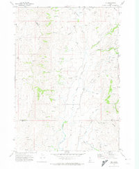 1970 Ola1974 Print · USGSThe small settlement of Ola is documented in the 1970s, positioned at the scenic confluence of Squaw Creek and Ola Creek. Local historians can trace the early community via the Cem, the Roadside Rest, and the rugged Jeep Trail winding through the Boise National Forest.
 - 1970 Map of Riley Butte, 1974 Print
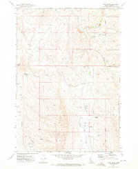 1970 Riley Butte1974 Print · USGSWashington County, Idaho, is seen here during the early 1970s, a period when remote rangeland was still shaped by the original survey lines and family landholdings. Researchers can locate the Walker Cem and trace livestock routes like Mc Faddan Lane across the Big Flat.
 - 1970 Map of Holland Gulch, 1974 Print
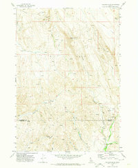 1970 Holland Gulch1974 Print · USGSThe high desert border of Washington and Payette counties comes into focus in 1970, showing a landscape defined by mining and ranching. Researchers can locate the Idaho Almaden Mine, trace the winding path of Toe Jam Creek, and find landmarks like Wilburn Butte.
 - 1970 Map of Twin Sisters, 1974 Print
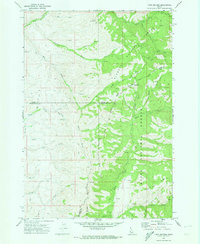 1970 Twin Sisters1974 Print · USGSThe high backcountry of the Adams County area is captured here during the 1970s at the meeting point of two national forests. Trace remote routes through Mill Creek Summit or follow the deep drainages of Carson Gulch and Lava Gulch.
 - 1974 Map of Weiser South, 1975 Print
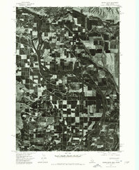 1974 Weiser South1975 Print · USGSThe borderlands of the Northwest are captured in the mid-1970s, showcasing the fertile agricultural flats along the Snake River. Researchers can study the industrial and residential development of Weiser and trace irrigation patterns across the valley floor.
 - 1974 Map of Mann Creek SW, 1975 Print
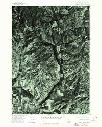 1974 Mann Creek SW1975 Print · USGSWeiser and the surrounding Idaho countryside are shown as they appeared in the mid-seventies, captured through high-altitude aerial photography. Trace the property lines and farmsteads along Jenkins Creek or the natural terrain around Sagebrush Hill.
 - 1974 Map of Olds Ferry SE, 1975 Print
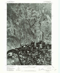 1974 Olds Ferry SE1975 Print · USGSThe Snake River valley in the mid-1970s is seen here in sharp aerial detail, capturing the transition from desert foothills to irrigated farms. Researchers can trace the watercourses of Warm Springs Creek and Scott Creek as they drain toward the Snake River near Jonathan.
End of results
Showing maps 1-11 of 11
Top cities of Washington County
Frequently asked questions
- What are the different types of historical maps available for Washington County?
- What is the oldest map of Washington County?
- Where can I purchase historical maps of Washington County for my home or office?
- Where can I download high-res historical maps of Washington County?
- Are there historical topographic maps available for Washington County?
- Is there historical aerial imagery available for Washington County?
- Where are historical maps of Washington County sourced from?