Old Maps of Midvale, Idaho for Metal Detecting
Plan your next treasure hunt with 18 historic maps of Midvale. Find old homesites, ghost towns, trails, and gathering spots that may be lost to time — perfect for identifying promising metal detecting locations.
- Locate forgotten sites: Uncover places like long-lost settlements, abandoned rail lines, or gathering spots.
- Plan better hunts: Use map overlays combined with LiDAR or satellite views to narrow in on historically rich areas.
- Made for detectorists: Thousands of hobbyists use these maps to discover relics, coins, and hidden history.
Use these historic maps to boost your research and find new opportunities beneath the surface of Midvale.
Midvale, ID maps
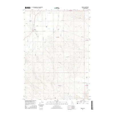
(18)- 1897 Map of Weiser
 1897 Weiser1897 Print · USGSThe Idaho-Oregon borderlands come alive in the 1890s as the Oregon Short Line connects river towns along the Snake River. Researchers can trace the early footprints of Weiser, Payette, and Middle Valley alongside now-obscure points like Mosquite and Washoe.5 unique versions available
 - 1953 Map of Mann Creek, 1955 Print
 1953 Mann Creek1955 Print · USGSThe agricultural valleys of Washington County come alive in this early 1950s survey of the river country near Weiser. Genealogists can trace a network of rural schoolhouses and landmarks including Saling Sch, Mann Creek Cem, and the Union Pacific Railroad.2 unique versions available
 - 1955 Map of Baker, 1964 Print
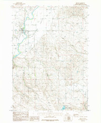
 1955 Baker1964 Print · USGSThe Oregon-Idaho borderlands are captured here in the mid-fifties as the Snake River underwent massive changes from dam construction. Trace the Oregon Trail Memorial Monument near Baker, find early mines like Virtue Mine, and follow the Union Pacific Railroad through Huntington.4 unique versions available
 - 1957 Map of Crane Creek Reservoir, 1958 Print
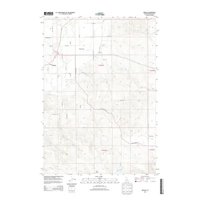
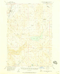 1957 Crane Creek Reservoir1958 Print · USGSThe Weiser River valley and its surrounding high-desert plateaus are captured here in the late fifties, showcasing a complex system of reservoirs and irrigation canals. Genealogists and historians can locate the Midvale townsite, the Midvale Cemetery, and rural landmarks like the Cozy Corners School (Aban'd).2 unique versions available
 - 1959 Map of Baker
 1959 Baker1959 Print · USGSThe Oregon and Idaho borderlands come alive in the late fifties, showing the rugged corridor along the Snake River and the high peaks of the Wallowa Mountains. Researchers can trace the legacy of the Union Pacific railroad or locate historic mining sites like the Flagstaff Mine and Virtue Mine.2 unique versions available
 - 1980 Map of Weiser, 1993 Print
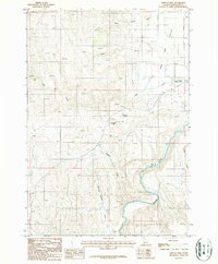
 1980 Weiser1993 Print · USGSThe Snake River valley and the foothills of the Boise Mountains are captured here in the 1980s, showing the vital rail and water infrastructure of the region. Researchers can trace the Union Pacific line through Payette or locate rural landmarks like Hog Cove Butte and Wilburn Butte.
 - 1986 Map of Midvale
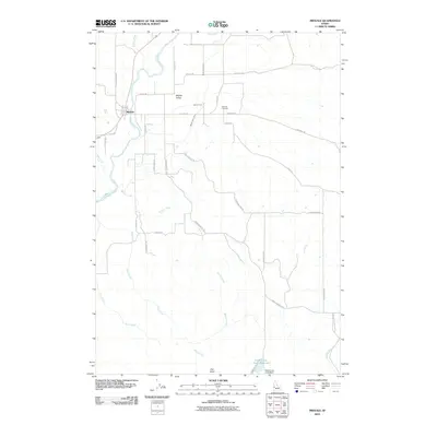
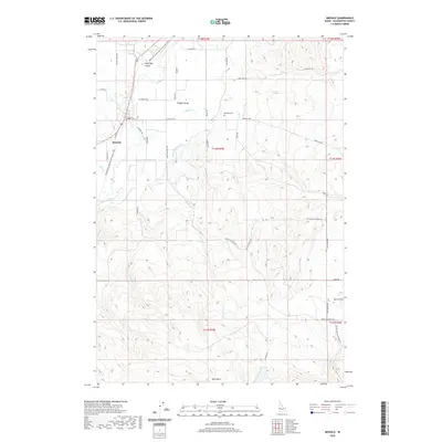
 1986 Midvale1986 Print · USGSMidvale and the agricultural lands of Idaho's Middle Valley are captured here in the mid-1980s. Genealogists and local historians can trace family properties near the Cem or follow the waters of the Weiser River and Little Crane Creek Reservoir.
 - 1987 Map of Midvale Hill
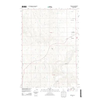
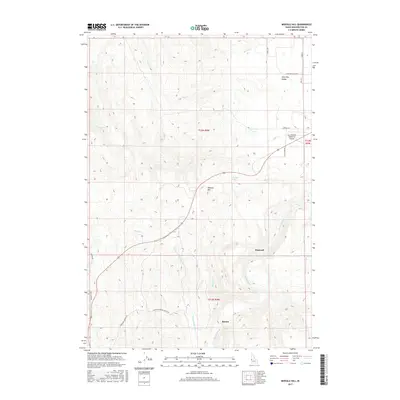
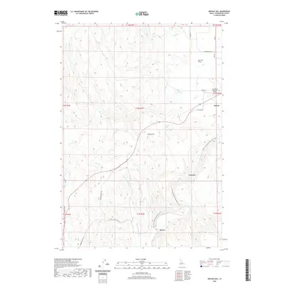
 1987 Midvale Hill1987 Print · USGSWashington County in the 1980s shows a landscape shaped by the Weiser River and the Union Pacific railroad. Genealogists and historians can trace family-named landmarks like Keithly Creek and local hubs like the Lee Williams Memorial Airport.
 - 2010 Map of Midvale Hill, 2010 Print
 2010 Midvale Hill2010 Print · USGSCovers Midvale, including Washington County, United States, and other nearby areas
 - 2010 Map of Midvale, 2010 Print
 2010 Midvale2010 Print · USGSCovers Midvale, including Washington County, United States, and other nearby areas
 - 2013 Map of Midvale, 2013 Print
 2013 Midvale2013 Print · USGSCovers Midvale, including Washington County, United States, and other nearby areas
 - 2013 Map of Midvale Hill, 2013 Print
 2013 Midvale Hill2013 Print · USGSCovers Midvale, including Washington County, United States, and other nearby areas
 - 2017 Map of Midvale, 2017 Print
 2017 Midvale2017 Print · USGSCovers Midvale, including Washington County, United States, and other nearby areas
 - 2017 Map of Midvale Hill, 2017 Print
 2017 Midvale Hill2017 Print · USGSCovers Midvale, including Washington County, United States, and other nearby areas
 - 2020 Map of Midvale, 2020 Print
 2020 Midvale2020 Print · USGSCovers Midvale, including Washington County, United States, and other nearby areas
 - 2020 Map of Midvale Hill, 2020 Print
 2020 Midvale Hill2020 Print · USGSCovers Midvale, including Washington County, United States, and other nearby areas
 - 2024 Map of Midvale, 2024 Print
 2024 Midvale2024 Print · USGSMidvale and the surrounding Middle Valley are shown here in the mid-2020s, highlighting the irrigation and transport networks of Washington County. Genealogists and researchers can trace local family landmarks like Eastside Cemetery, Star Butte, and the Middle Valley Ditch.
 - 2024 Map of Midvale Hill, 2024 Print
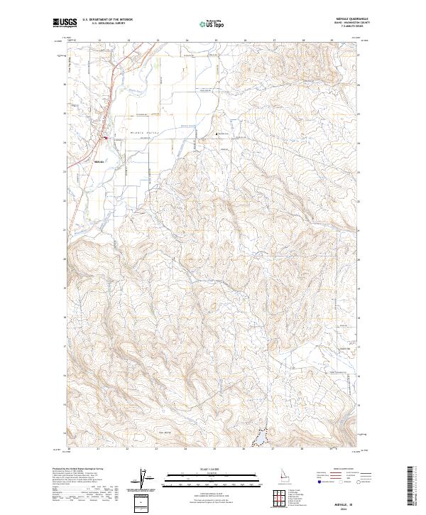
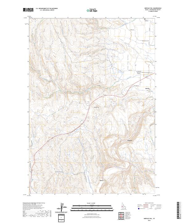 2024 Midvale Hill2024 Print · USGSWashington County highlands are captured here in the contemporary era, centered on the rise of Midvale Hill. Researchers can trace local landmarks like the Keithley Creek Cem or follow the Weiser River National Recreation Trail through Barton.
End of results
Showing maps 1-18 of 18
Top cities near Midvale
Frequently asked questions
- What are the different types of historical maps available for Midvale?
- What is the oldest map of Midvale?
- Where can I purchase historical maps of Midvale for my home or office?
- Where can I download high-res historical maps of Midvale?
- Are there historical topographic maps available for Midvale?
- Is there historical aerial imagery available for Midvale?
- Where are historical maps of Midvale sourced from?