Old Maps of La Prairie, Illinois for Metal Detecting
Plan your next treasure hunt with 23 historic maps of La Prairie. Find old homesites, ghost towns, trails, and gathering spots that may be lost to time — perfect for identifying promising metal detecting locations.
- Locate forgotten sites: Uncover places like long-lost settlements, abandoned rail lines, or gathering spots.
- Plan better hunts: Use map overlays combined with LiDAR or satellite views to narrow in on historically rich areas.
- Made for detectorists: Thousands of hobbyists use these maps to discover relics, coins, and hidden history.
Use these historic maps to boost your research and find new opportunities beneath the surface of La Prairie.
La Prairie, IL maps
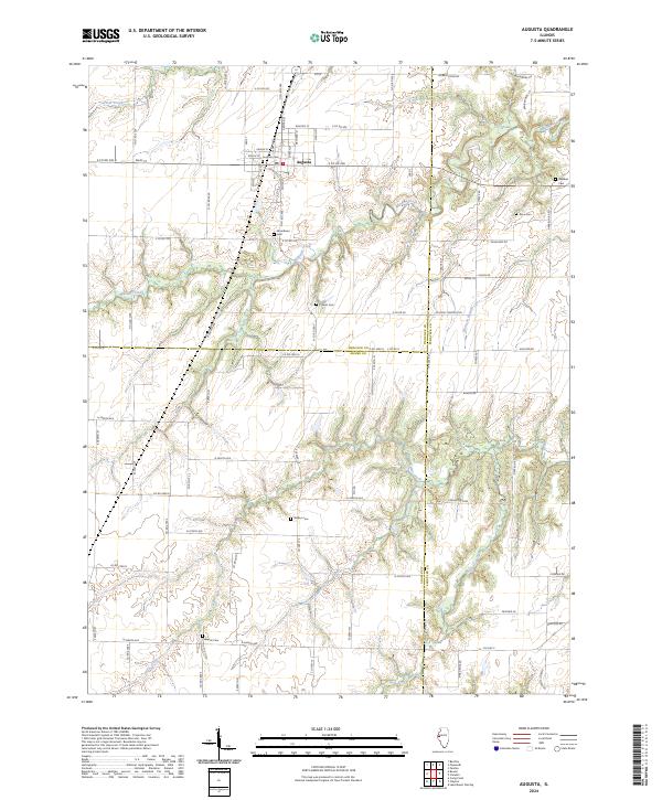
(23)- 1946 Map of Augusta, 1957 Print
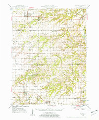 1946 Augusta1957 Print · USGSWestern Illinois farm country at the end of the 1940s is detailed here as the rail-and-river economy transitions. Genealogists can trace family names at Sherwood Cem and Woodland Cem, or locate rural landmarks like Mt Horeb Ch and Timewell PO.2 unique versions available
 - 1948 Map of Camp Point
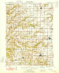 1948 Camp Point1948 Print · USGSWestern Illinois farm country thrives in the late 1940s, marked by a dense grid of township roads and early rail connections. Genealogists can locate dozens of country schools and burial grounds, from Lone Star Sch to the Friedhof Cem and Bowen Cem.2 unique versions available
 - 1949 Map of Augusta
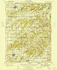 1949 Augusta1949 Print · USGSWestern Illinois at the end of the 1940s reveals a landscape of tight-knit rural communities and school districts. Genealogists can trace family footprints across dozens of local landmarks like Sulphur Springs Sch, Woodland Cem, and Mound Station Timewell PO.
 - 1958 Map of Burlington, 1968 Print
 1958 Burlington1968 Print · USGSThe tri-state river country of Iowa, Illinois, and Missouri is captured here in the mid-fifties, dominated by the Mississippi River and major rail lines. Genealogists and historians can trace the development of river towns like Keokuk or locate the sprawling Iowa Army Ammunition Plant.4 unique versions available
 - 1961 Map of Burlington
 1961 Burlington1961 Print · USGSThe tri-state borderlands along the Mississippi River are captured here during the late fifties and early sixties, showing the vital river-and-rail economy of Iowa, Illinois, and Missouri. Genealogists and historians can trace the development of major hubs like Galesburg and Macomb alongside landmark sites such as the Iowa Ordnance Plant and the historic river town of Nauvoo.
 - 1963 Map of Burlington
 1963 Burlington1963 Print · USGSThe tri-state river country of the Mississippi and Illinois valleys comes alive in this mid-century survey. Genealogists and historians can trace the industrial and academic growth of the region, from the Iowa Ordnance Plant to campuses like Knox College and Western Illinois University.
 - 1975 Map of Augusta NW, 1976 Print
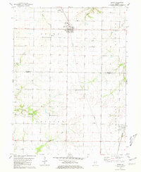
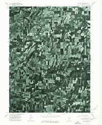 1975 Augusta NW1976 Print · USGSIllinois farmland and rural settlements are captured in high-detail aerial photography during the mid-seventies. Researchers can pinpoint specific farmsteads and the historic town layouts of Augusta and La Prairie as they existed fifty years ago.
 - 1981 Map of Bowen
 1981 Bowen1981 Print · USGSThis rural portion of Hancock and Adams Counties was captured in the early eighties as the agricultural grid defined the landscape. Researchers can locate family sites such as Ebenezer Cem and Forsyth Cem or trace the Burlington Northern rail line through La Prairie.
 - 1981 Map of Augusta
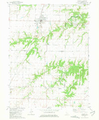 1981 Augusta1981 Print · USGSAugusta and the surrounding Illinois prairie are shown here in the early eighties, centered on the BURLINGTON NORTHERN railroad and the Augusta town grid. Family historians can trace local roots at Woodland Cemetery, Elm Grove Church, and several smaller burial grounds scattered near Pulaski.
 - 1985 Map of Macomb
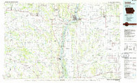
 1985 Macomb1985 Print · USGSWest Central Illinois in the mid-eighties shows a robust network of river towns and rail corridors spanning from the Illinois River to the Lamoine. Genealogists and historians can trace the foundations of Macomb, find rural landmarks like Pennington Point, or locate early conservation sites like Argyle Lake State Park.
 - 1986 Map of Keokuk
 1986 Keokuk1986 Print · USGSThe tri-state junction of Iowa, Illinois, and Missouri comes alive in the mid-eighties as a hub of river commerce and rail transit. Researchers can trace family roots through Moss Ridge Cemetery or study industrial landmarks like the Keokuk Dam and Lock and Dam No 19.2 unique versions available
 - 1989 Map of Macomb
 1989 Macomb1989 Print · USGSWest Central Illinois in the late eighties shows a landscape of river-bottom conservation and rail-town commerce. Researchers can trace the extensive wetlands of the Illinois River or locate historic transport hubs in Macomb, Colchester, and Beardstown.
 - 1990 Map of Burlington
 1990 Burlington1990 Print · USGSThe tri-state confluence of Iowa, Illinois, and Missouri is mapped here at the end of the twentieth century. Genealogists and historians can trace the riverfront heritage of Burlington, Keokuk, and Fort Madison, or locate sites like the Battle of Athens State Historic Site.2 unique versions available
 - 2012 Map of Augusta, 2012 Print
 2012 Augusta2012 Print · USGSCovers La Prairie, including Augusta, Pulaski, and other nearby areas
 - 2012 Map of Bowen, 2012 Print
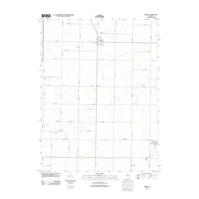 2012 Bowen2012 Print · USGSCovers La Prairie, including Bowen, Chatton, and other nearby areas
 - 2015 Map of Augusta, 2015 Print
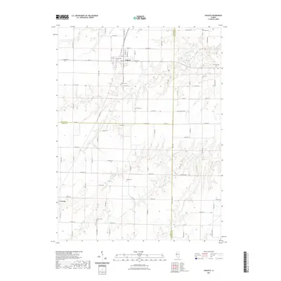
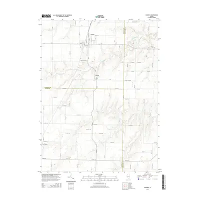 2015 Augusta2015 Print · USGSCovers La Prairie, including Augusta, Pulaski, and other nearby areas
 - 2015 Map of Bowen, 2015 Print
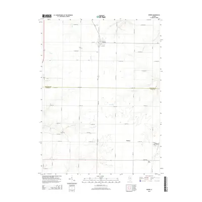 2015 Bowen2015 Print · USGSCovers La Prairie, including Bowen, Chatton, and other nearby areas
 - 2018 Map of Bowen, 2018 Print
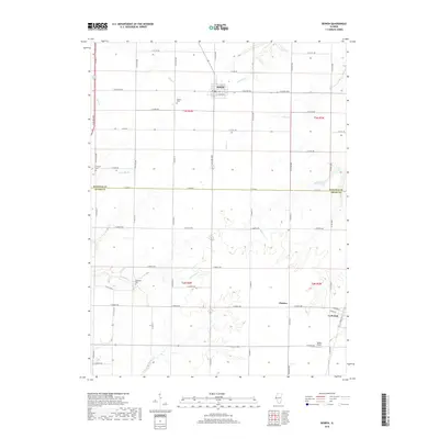 2018 Bowen2018 Print · USGSCovers La Prairie, including Bowen, Chatton, and other nearby areas
 - 2018 Map of Augusta, 2018 Print
 2018 Augusta2018 Print · USGSCovers La Prairie, including Augusta, Pulaski, and other nearby areas
 - 2021 Map of Augusta, 2021 Print
 2021 Augusta2021 Print · USGSCovers La Prairie, including Augusta, Pulaski, and other nearby areas
 - 2021 Map of Bowen, 2021 Print
 2021 Bowen2021 Print · USGSCovers La Prairie, including Bowen, Chatton, and other nearby areas
 - 2024 Map of Augusta, 2024 Print
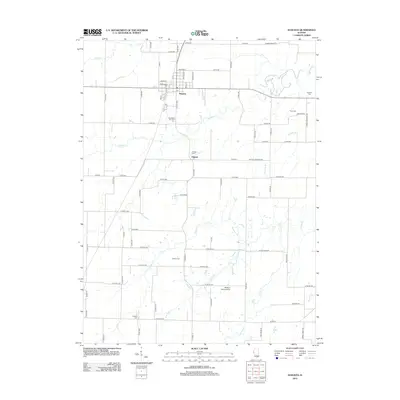
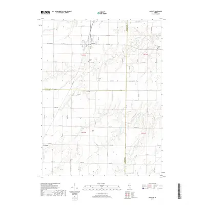
 2024 Augusta2024 Print · USGSWestern Illinois farm country meets the wooded breaks of the Lamoine River watershed in the early 2020s. Genealogists can trace family heritage across numerous rural burial sites including Pulaski Cem, Walker Cem, and the town's central Augusta Cem.
 - 2024 Map of Bowen, 2024 Print
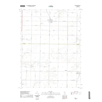
 2024 Bowen2024 Print · USGSThe borderlands of Hancock and Adams Counties are documented here in a modern survey of their rural townships. Local historians can trace family roots at Bowen Cemetery and Ebenezer Cemetery or explore the hamlets of Chatton and La Prairie.
End of results
Showing maps 1-23 of 23
Top cities near La Prairie
- Mount Sterling historical maps
- Camp Point historical maps
- Clayton historical maps
- Chili historical maps
- Augusta historical maps
- Golden historical maps
See more
Frequently asked questions
- What are the different types of historical maps available for La Prairie?
- What is the oldest map of La Prairie?
- Where can I purchase historical maps of La Prairie for my home or office?
- Where can I download high-res historical maps of La Prairie?
- Are there historical topographic maps available for La Prairie?
- Is there historical aerial imagery available for La Prairie?
- Where are historical maps of La Prairie sourced from?