Old Maps of Liberty, Illinois for Hiking & Exploration
Hike through history with 17 historic maps of Liberty. Explore old trails, ghost towns, and forgotten backroads — perfect for outdoor adventurers and local explorers.
- Rediscover forgotten places: Map out old mining camps, roads, and footpaths that no longer exist on modern maps.
- Layer with modern tools: Combine with LiDAR or satellite views to plan hikes through historical terrain.
- Made for exploration: Popular among hikers, overlanders, and local history lovers.
Use these maps to find adventure and explore the hidden past of Liberty.
Liberty, IL maps
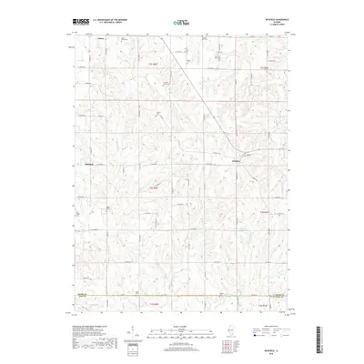
(17)- 1925 Map of Liberty, 1972 Print
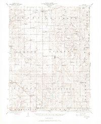 1925 Liberty1972 Print · USGSWestern Illinois in the 1920s was a landscape of tightly knit farming communities and country crossroads. Genealogists and researchers can trace family roots through dozens of local landmarks like St Joseph School, Mt Pleasant Church, and the village of Plainville.
 - 1927 Map of Liberty
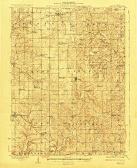 1927 Liberty1927 Print · USGSAdams County’s rural townships are captured here during the mid-1920s, showing a landscape of small agricultural settlements and tight-knit communities. Family historians can locate dozens of country schools and churches, including Seigel School, Tandy School, and Pleasant Grove Church.2 unique versions available
 - 1948 Map of Quincy
 1948 Quincy1948 Print · USGSThe Mississippi and Illinois River valleys are captured at a post-war crossroads as rail and river travel met the expanding highway system. Genealogists can trace family settlements from Quincy to Hannibal and smaller towns like Vandalia and Jerseyville.2 unique versions available
 - 1956 Map of Quincy, 1967 Print
 1956 Quincy1967 Print · USGSThe river and rail corridors of the Illinois-Missouri border are documented here during the mid-1950s. Researchers can trace historic river landings and regional transit hubs from Quincy and Hannibal to smaller settlements like Meredosia and Roodhouse.3 unique versions available
 - 1981 Map of Liberty
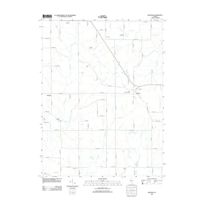
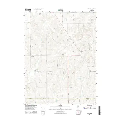
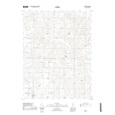
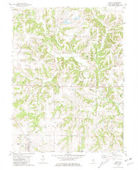 1981 Liberty1981 Print · USGSAdams County’s rural landscape is captured here in the early eighties, showing the deeply etched creek valleys and scattered homesteads near Liberty. Genealogists can trace family names through dozens of local burial sites like Nations Cem, Coats Cem, and Earel Cem.
 - 1981 Map of Richfield
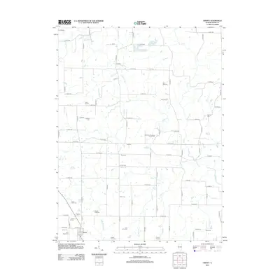
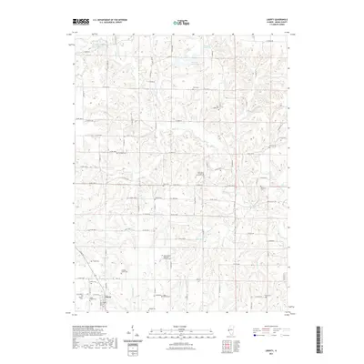
 1981 Richfield1981 Print · USGSRichfield and Kingston were established rural centers in the early eighties as the Adams and Pike county line remained a landscape of family farms. Genealogists can trace local heritage through numerous sites like Klarner Cem, Steward Cem, and Potter Cem.
 - 1986 Map of Quincy
 1986 Quincy1986 Print · USGSThe tri-state border region along the Mississippi River comes into focus during the mid-1980s. Researchers can trace the legacy of river towns and rail hubs like Quincy and Monroe City or locate landmarks such as Mount Olive Cem.2 unique versions available
 - 2012 Map of Richfield, 2012 Print
 2012 Richfield2012 Print · USGSCovers Liberty, including Richfield, Kingston, and other nearby areas
 - 2012 Map of Liberty, 2012 Print
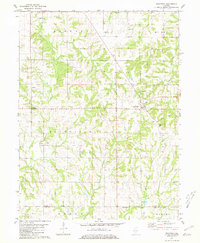
 2012 Liberty2012 Print · USGSCovers Liberty, including Adams County, United States, and other nearby areas
 - 2015 Map of Liberty, 2015 Print
 2015 Liberty2015 Print · USGSCovers Liberty, including Adams County, United States, and other nearby areas
 - 2015 Map of Richfield, 2015 Print
 2015 Richfield2015 Print · USGSCovers Liberty, including Richfield, Kingston, and other nearby areas
 - 2018 Map of Richfield, 2018 Print
 2018 Richfield2018 Print · USGSCovers Liberty, including Richfield, Kingston, and other nearby areas
 - 2018 Map of Liberty, 2018 Print
 2018 Liberty2018 Print · USGSCovers Liberty, including Adams County, United States, and other nearby areas
 - 2021 Map of Liberty, 2021 Print
 2021 Liberty2021 Print · USGSCovers Liberty, including Adams County, United States, and other nearby areas
 - 2021 Map of Richfield, 2021 Print
 2021 Richfield2021 Print · USGSCovers Liberty, including Richfield, Kingston, and other nearby areas
 - 2024 Map of Richfield, 2024 Print
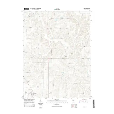
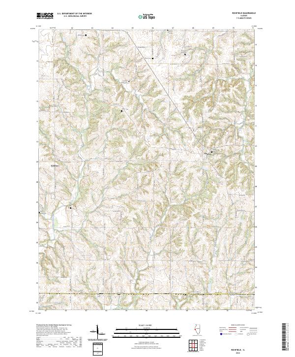 2024 Richfield2024 Print · USGSRichfield and Kingston anchor this Adams County landscape as it appears in the early twenty-first century. Genealogists can trace decades of local family history through numerous small burial sites, including the Baker Family Cem, Rice Family Cem, and Potter Cem.
 - 2024 Map of Liberty, 2024 Print
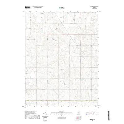
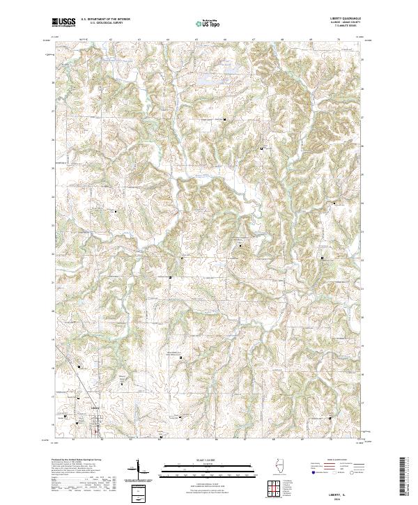 2024 Liberty2024 Print · USGSThe rural landscape of Adams County is mapped here in the early twenty-first century, centered on the village of Liberty. Genealogists can trace family heritage through a remarkable number of local burial sites, including Saint Brigids Cem, Concord Cem, and the Clark Family Cem.
End of results
Showing maps 1-17 of 17
Top cities near Liberty
- Quincy historical maps
- Hannibal historical maps
- Barry historical maps
- Camp Point historical maps
- Payson historical maps
- Mendon historical maps
See more
Frequently asked questions
- What are the different types of historical maps available for Liberty?
- What is the oldest map of Liberty?
- Where can I purchase historical maps of Liberty for my home or office?
- Where can I download high-res historical maps of Liberty?
- Are there historical topographic maps available for Liberty?
- Is there historical aerial imagery available for Liberty?
- Where are historical maps of Liberty sourced from?