Old Maps of Sorento, Illinois for Metal Detecting
Plan your next treasure hunt with 23 historic maps of Sorento. Find old homesites, ghost towns, trails, and gathering spots that may be lost to time — perfect for identifying promising metal detecting locations.
- Locate forgotten sites: Uncover places like long-lost settlements, abandoned rail lines, or gathering spots.
- Plan better hunts: Use map overlays combined with LiDAR or satellite views to narrow in on historically rich areas.
- Made for detectorists: Thousands of hobbyists use these maps to discover relics, coins, and hidden history.
Use these historic maps to boost your research and find new opportunities beneath the surface of Sorento.
Sorento, IL maps
(23)- 1915 Map of Mount Olive
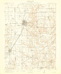 1915 Mount Olive1915 Print · USGSCentral Illinois at the height of the steam era reveals a landscape shaped by competing railroads and dense rural school districts. Genealogists can trace family footprints through numerous local landmarks like Ritchie School, Robbs Mound, and the many lines of the Illinois Traction.3 unique versions available
 - 1937 Map of New Douglas
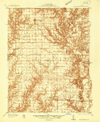 1937 New Douglas1937 Print · USGSMadison and Bond counties are seen here in the late 1930s, showing a high density of rural schools and family cemeteries. Researchers can trace the grounds of Mt Calvary Sch, locate the St Vincent Cem, or follow the Shoal Creek bottomlands.2 unique versions available
 - 1944 Map of New Douglas
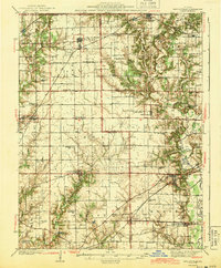 1944 New Douglas1944 Print · USGSMadison and Bond Counties are seen here during the mid-1930s, showing a well-established network of prairie farming communities and rail lines. Genealogists can locate dozens of named rural schools and cemeteries, from St Vincent Cem to the Hedgebound Sch and the village of Grantfork.2 unique versions available
 - 1944 Map of Mount Olive, 1965 Print
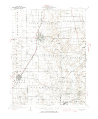 1944 Mount Olive1965 Print · USGSCentral Illinois during the mid-forties reveals a landscape defined by industrial rail junctions and dozens of rural school districts. Genealogists can locate family-named landmarks like Hardenburg School, Ware Grove School, and the community of Walshville along the Chicago and Northwestern tracks.
 - 1958 Map of Decatur, 1971 Print
 1958 Decatur1971 Print · USGSCentral Illinois in the mid-twentieth century shows a landscape defined by industrial rail hubs and the creation of large reservoirs. Researchers can trace historic corridors like the Penn Central or locate landmarks such as Lincoln Log Cabin State Park and Lake Springfield.3 unique versions available
 - 1958 Map of Belleville, 1973 Print
 1958 Belleville1973 Print · USGSSouthern Illinois during the mid-twentieth century reveals a landscape of industrial growth and massive new reservoirs. Genealogists and historians can trace the paths of the Illinois Central RR through towns like Centralia or locate landmarks such as Emerald Mound and the Looking Glass Prairie.3 unique versions available
 - 1961 Map of Decatur
 1961 Decatur1961 Print · USGSCentral Illinois in the late fifties was a bustling corridor of rail lines and prairie commerce centered on the state capital. Genealogists and historians can trace the intricate connections between Springfield, Decatur, and dozens of smaller settlements like Nokomis and Arcola.2 unique versions available
 - 1962 Map of Belleville
 1962 Belleville1962 Print · USGSSouthern Illinois in the late fifties reveals a landscape of industrial growth and ancient landmarks before the full expansion of the interstate system. Genealogists can trace family names and rural post offices near Centralia, Salem, and the historic Monks Mound.
 - 1974 Map of Sorento North, 1977 Print
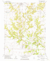
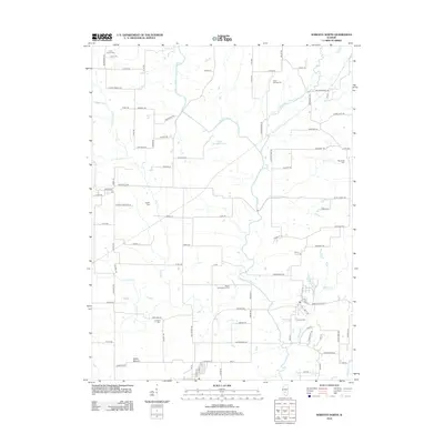
 1974 Sorento North1977 Print · USGSMid-century Montgomery County, Illinois, reveals a landscape defined by coal mining and a dense network of competing railroads. Genealogists and historians can trace family roots at Clear Springs Cem or locate industrial sites like the Mine near Panama.
 - 1974 Map of Sorento South, 1977 Print
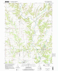
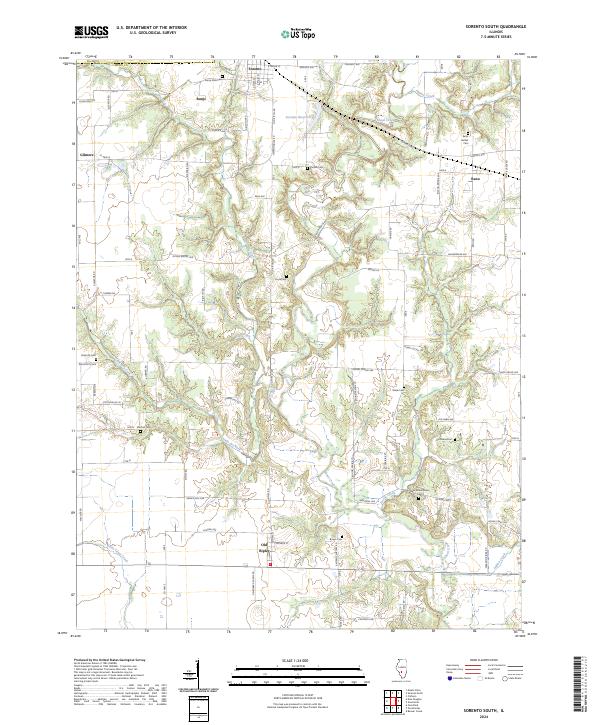
 1974 Sorento South1977 Print · USGSBond and Montgomery Counties come into focus during the mid-1970s, showing a landscape defined by meandering creeks and small farming hubs. Genealogists and historians can trace family ties at Sunny Side Cem, Mt Nebo Ch, and the rural settlement of Old Ripley.
 - 1982 Map of Litchfield
 1982 Litchfield1982 Print · USGSThe coal and rail corridors of Central Illinois are captured here in the early eighties as the region balanced industrial mining with its agricultural roots. Researchers can trace family history through sites like Zelmer Memorial Cemetery or the grounds of Blackburn College and the Crown Mine No 1.
 - 1985 Map of Carlyle Lake
 1985 Carlyle Lake1985 Print · USGSSouthwestern Illinois in the mid-eighties shows a landscape of growing commuter suburbs and massive water management projects. Genealogists and historians can locate family plots at Lakeview Memorial Gardens Cem or trace the early footprint of Southern Illinois Univ (Edwardsville).2 unique versions available
 - 1998 Map of Sorento North, 2002 Print
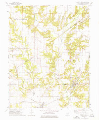
 1998 Sorento North2002 Print · USGSThe rural landscapes of Montgomery County are captured here in the late twentieth century as agriculture and small-town life persisted. Researchers can locate family burial sites at Hart Cem and Union Cem, or trace the path of the Old RR Gr near Sorento.
 - 2012 Map of Sorento South, 2012 Print
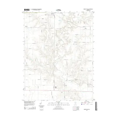
 2012 Sorento South2012 Print · USGSCovers Sorento, including Old Ripley, Bunje, and other nearby areas
 - 2012 Map of Sorento North, 2012 Print
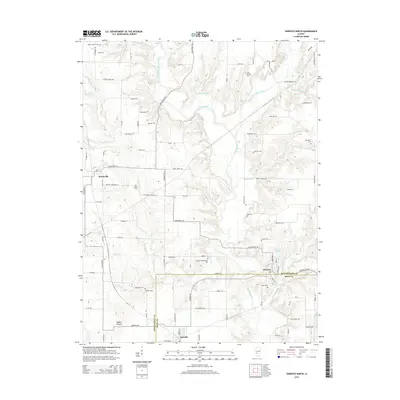
 2012 Sorento North2012 Print · USGSCovers Sorento, including Taylor Springs, Panama, and other nearby areas
 - 2015 Map of Sorento South, 2015 Print
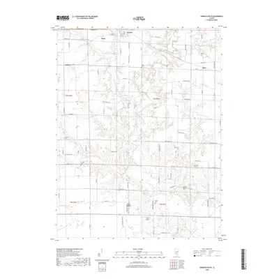
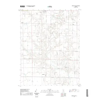
 2015 Sorento South2015 Print · USGSCovers Sorento, including Old Ripley, Bunje, and other nearby areas
 - 2015 Map of Sorento North, 2015 Print
 2015 Sorento North2015 Print · USGSCovers Sorento, including Taylor Springs, Panama, and other nearby areas
 - 2018 Map of Sorento South, 2018 Print
 2018 Sorento South2018 Print · USGSCovers Sorento, including Old Ripley, Bunje, and other nearby areas
 - 2018 Map of Sorento North, 2018 Print
 2018 Sorento North2018 Print · USGSCovers Sorento, including Taylor Springs, Panama, and other nearby areas
 - 2021 Map of Sorento South, 2021 Print
 2021 Sorento South2021 Print · USGSCovers Sorento, including Old Ripley, Bunje, and other nearby areas
 - 2021 Map of Sorento North, 2021 Print
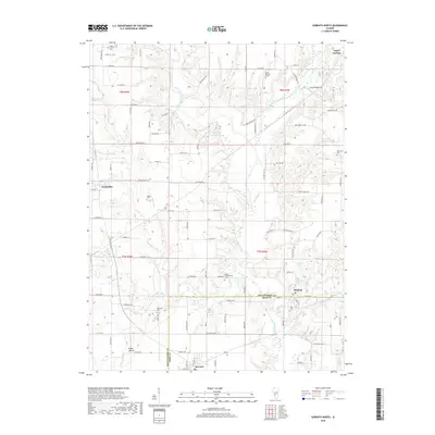
 2021 Sorento North2021 Print · USGSCovers Sorento, including Taylor Springs, Panama, and other nearby areas
 - 2024 Map of Sorento South, 2024 Print
 2024 Sorento South2024 Print · USGSBond County's rural landscape is documented here in the early twenty-first century, showing a network of small villages and farming communities. Genealogists can locate numerous burial sites across the creek valleys, including Sunny Side Cem, Bethel Cem, and Wade Cem.
 - 2024 Map of Sorento North, 2024 Print
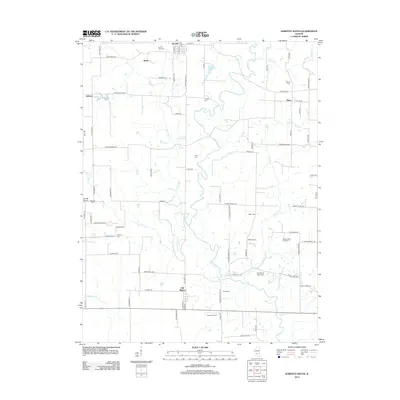
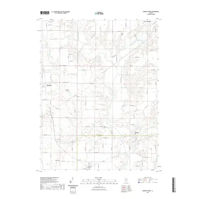
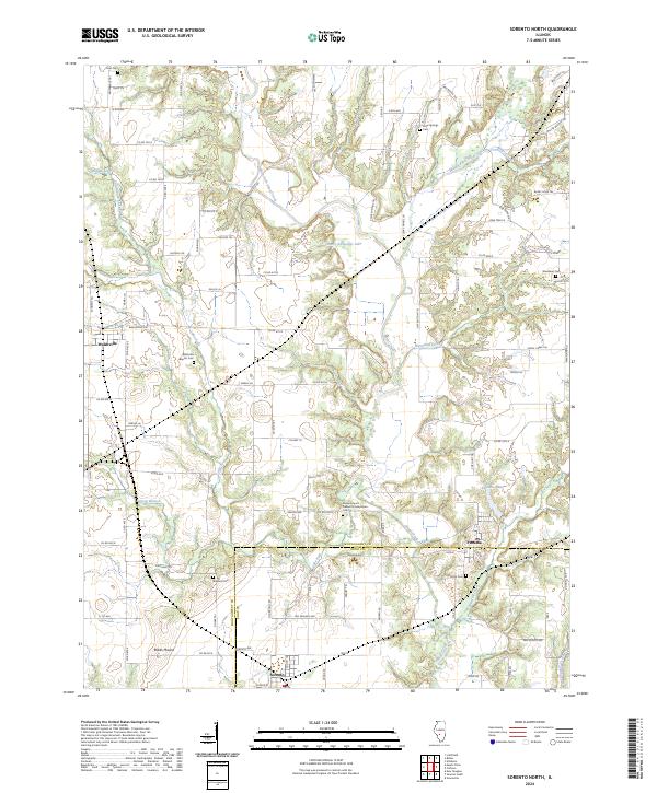 2024 Sorento North2024 Print · USGSMontgomery and Bond counties appear in detail as they were in the early 2020s, showcasing a rural landscape defined by creek forks and crossroads. Family historians can trace numerous burial grounds, from Walshville Baptist Cem to the remote Kirkland Cem.
End of results
Showing maps 1-23 of 23
Top cities near Sorento
- Highland historical maps
- Greenville historical maps
- Litchfield historical maps
- Hillsboro historical maps
- Staunton historical maps
- Mount Olive historical maps
See more
Frequently asked questions
- What are the different types of historical maps available for Sorento?
- What is the oldest map of Sorento?
- Where can I purchase historical maps of Sorento for my home or office?
- Where can I download high-res historical maps of Sorento?
- Are there historical topographic maps available for Sorento?
- Is there historical aerial imagery available for Sorento?
- Where are historical maps of Sorento sourced from?