2020s Maps of Carroll County, Illinois
Explore 30 historic maps of Carroll County from the 2020s. These maps offer a rare glimpse into what life looked like during the 2020s — showing old roads, neighborhoods, homes, and landmarks that have changed or disappeared over time.
Whether you're researching your family's past, planning a metal detecting trip, or studying how Carroll County's landscape evolved across the 2020s, these high-resolution maps are a powerful tool for exploring the history of this region.
- Focus on a specific era: All maps on this page are from the 2020s, giving you a focused view of this time period.
- See what’s changed: Compare century-old streets, trails, and buildings to today's modern landscape using overlays and satellite layers.
- Research with precision: Use these maps for genealogy, historical research, land use analysis, or educational projects.
- View, download, or print: Maps are fully viewable online in high resolution, and can be downloaded or printed for your own records.
Start exploring Carroll County's history through authentic maps from the 2020s. This is your window into the past.
Carroll County, IL maps
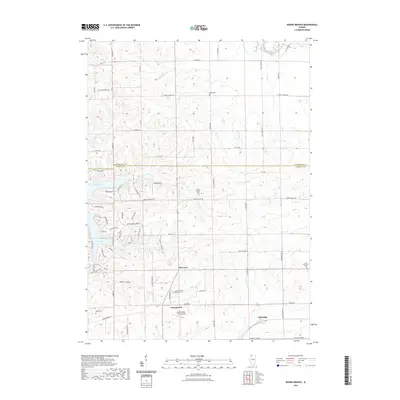
(30)- 2021 Map of Blackhawk, 2021 Print
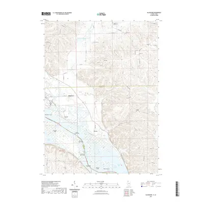 2021 Blackhawk2021 Print · USGSCovers Carroll County, including Derinda Township, Hanover Township, and other nearby areas
 - 2021 Map of Pleasant Valley, 2021 Print
 2021 Pleasant Valley2021 Print · USGSCovers Carroll County, including Pleasant Valley, Derinda Township, and other nearby areas
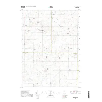
 - 2021 Map of Wacker, 2021 Print
 2021 Wacker2021 Print · USGSCovers Carroll County, including Savanna, Ayers, and other nearby areas
 - 2021 Map of Brookville, 2021 Print
 2021 Brookville2021 Print · USGSCovers Carroll County, including Elkhorn Grove, Brookville, and other nearby areas
 - 2021 Map of Thomson, 2021 Print
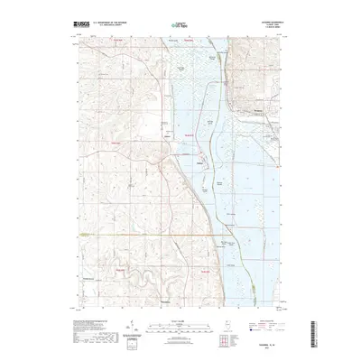
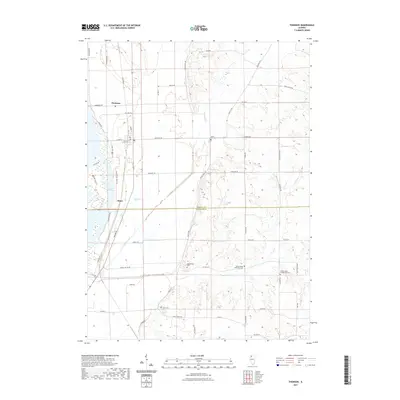 2021 Thomson2021 Print · USGSCovers Carroll County, including Thomson, Ebner, and other nearby areas
 - 2021 Map of Boone Branch, 2021 Print
 2021 Boone Branch2021 Print · USGSCovers Carroll County, including Georgetown, Kittredge, and other nearby areas
 - 2021 Map of Milledgeville, 2021 Print
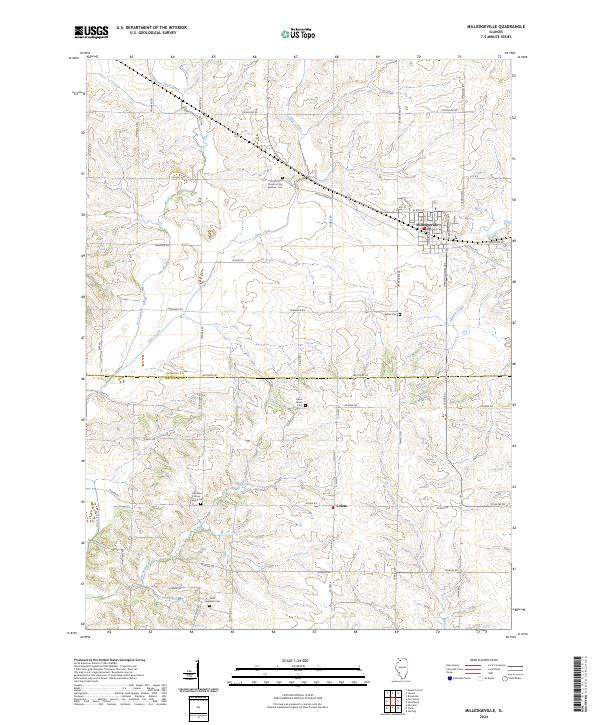
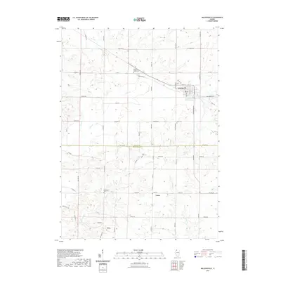 2021 Milledgeville2021 Print · USGSCovers Carroll County, including Milledgeville, Coleta, and other nearby areas
 - 2021 Map of Hazelhurst, 2021 Print
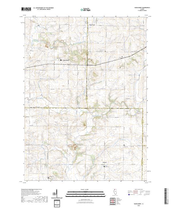
 2021 Hazelhurst2021 Print · USGSCovers Carroll County, including Eagle Point, Woosung Township, and other nearby areas
 - 2021 Map of Fair Haven, 2021 Print
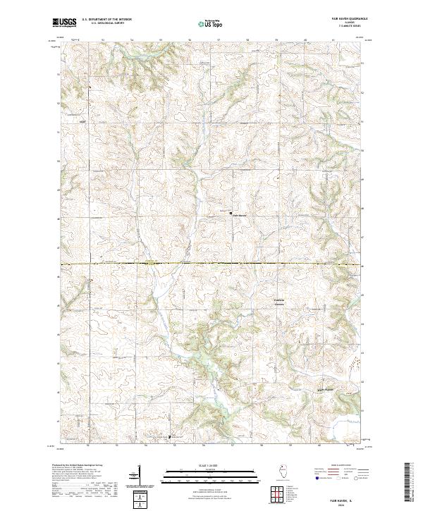
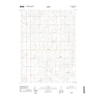 2021 Fair Haven2021 Print · USGSCovers Carroll County, including White Pigeon, Franklin Corners, and other nearby areas
 - 2021 Map of Savanna, 2021 Print
 2021 Savanna2021 Print · USGSCovers Carroll County, including Savanna, Sabula, and other nearby areas
 - 2021 Map of Mount Carroll, 2021 Print
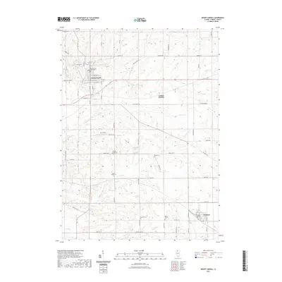 2021 Mount Carroll2021 Print · USGSCovers Carroll County, including Mount Carroll, Chadwick, and other nearby areas
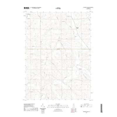
 - 2021 Map of Loran, 2021 Print
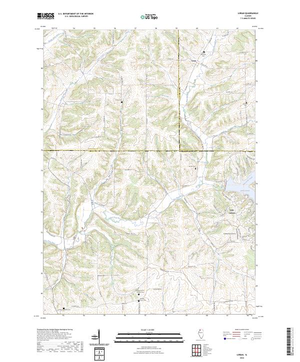
 2021 Loran2021 Print · USGSCovers Carroll County, including Loran, Pleasant Valley Township, and other nearby areas
 - 2021 Map of Lanark, 2021 Print
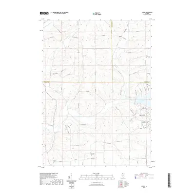
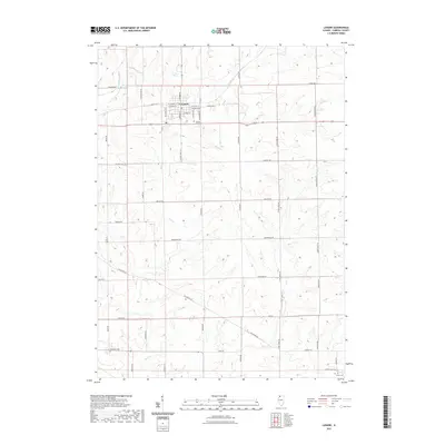 2021 Lanark2021 Print · USGSCovers Carroll County, including Lanark, United States, and other nearby areas
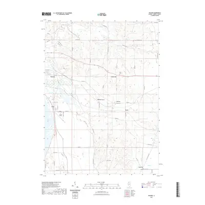
 - 2021 Map of Shannon, 2021 Print
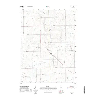
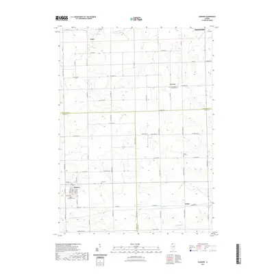 2021 Shannon2021 Print · USGSCovers Carroll County, including Freeport, Florence, and other nearby areas
 - 2022 Map of Clinton NW, 2022 Print
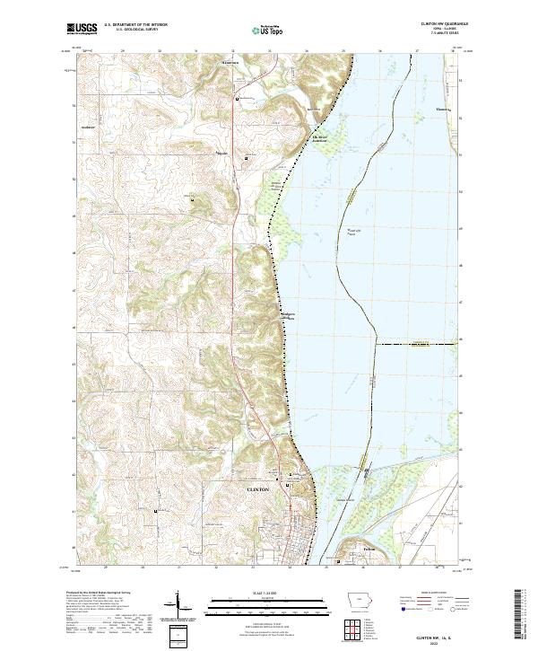 2022 Clinton NW2022 Print · USGSThe Mississippi River corridor near Clinton and Fulton comes into sharp focus during the early twenty-first century. Researchers can trace the river's edge through Woodruffs Island and Stamps Island or locate family history at Oakland Cem and Hauntown Cem.
 - 2022 Map of Green Island, 2022 Print
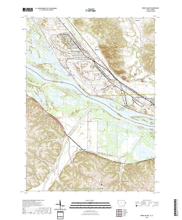 2022 Green Island2022 Print · USGSThe confluence of the Maquoketa and Mississippi Rivers comes into focus in this modern survey of the Iowa-Illinois borderlands. Researchers can locate small communities like Green Island and Whitton alongside local landmarks such as Reeceville Cem and Lost Mound.
 - 2024 Map of Blackhawk, 2024 Print
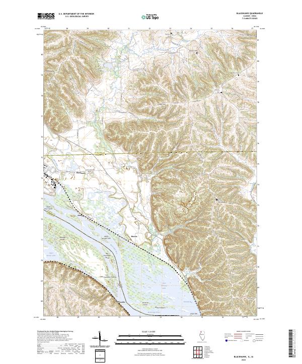 2024 Blackhawk2024 Print · USGSNorthwest Illinois meets the Iowa border along the river's edge in this contemporary look at the Jo Daviess and Carroll County line. Trace family sites and rural history at Derinda Center, Lainsville, and the Albrecht Cem near the river's winding bluffs.
 - 2024 Map of Brookville, 2024 Print
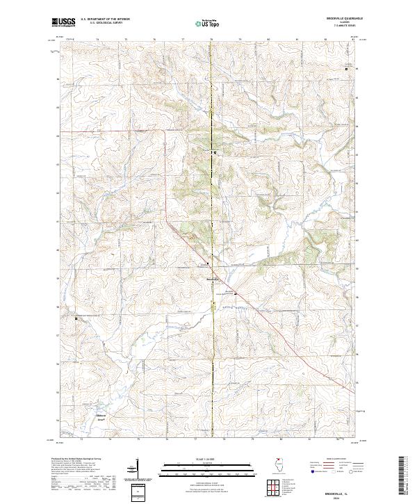 2024 Brookville2024 Print · USGSNorthern Illinois farmland and the village of Brookville are captured in this contemporary survey. Genealogists can trace family sites at Chambers Grove Cem, Schriner Cem, and along the banks of Elkhorn Creek.
 - 2024 Map of Pleasant Valley, 2024 Print
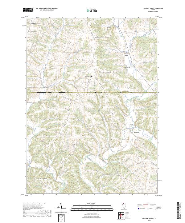 2024 Pleasant Valley2024 Print · USGSUpper Illinois hill country at the Jo Daviess and Carroll county line remains a landscape of quiet valleys and family farmsteads. Researchers can locate small crossroads like Pleasant Valley and Massbach or trace family roots at Zion Cem and along the Old Galena Trl.
 - 2024 Map of Boone Branch, 2024 Print
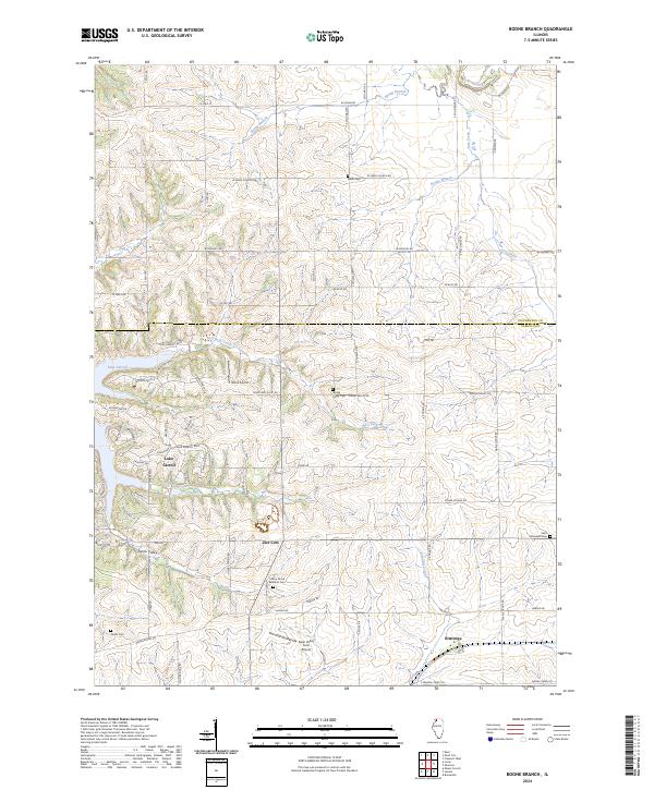 2024 Boone Branch2024 Print · USGSThe borderlands of Carroll and Stephenson counties come alive in the contemporary era, showcasing the residential growth surrounding Lake Carroll. Researchers can trace local lineage through numerous burial sites including Saint Wendelin Cem and Spring Valley Cem.
 - 2024 Map of Loran, 2024 Print
 2024 Loran2024 Print · USGSSpanning Carroll and Stephenson counties in the early 2020s, this area maintains its rural character across the Plum River drainages. Researchers can trace family history through numerous small grounds like Arnolds Grove Dunkard Cem and Loran Methodist Cem near the village of Loran.
 - 2024 Map of Fair Haven, 2024 Print
 2024 Fair Haven2024 Print · USGSThis rural portion of the Carroll and Whiteside County border is documented in its modern agricultural character. Genealogists can locate family burial sites at Fairhaven Cem and Methodist Cem, or trace the small communities of White Pigeon and Ideal.
 - 2024 Map of Hazelhurst, 2024 Print
 2024 Hazelhurst2024 Print · USGSThe rural borders of Carroll, Ogle, and Whiteside counties come together in this contemporary study of north-central Illinois. Genealogists can locate several historic burial sites like Brick Church Cem and Penrose Friends Cem alongside the crossroads at Hazelhurst.
 - 2024 Map of Milledgeville, 2024 Print
 2024 Milledgeville2024 Print · USGSThe borderlands of Carroll and Whiteside counties come into focus here, showing the agricultural heartland centered around Milledgeville. Genealogists can trace family footprints through sites like Dutchtown Church of the Brethren Cem, Hazel Green Cem, and the village of Coleta.
 - 2024 Map of Savanna, 2024 Print
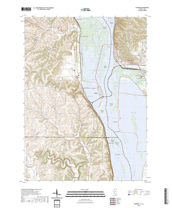 2024 Savanna2024 Print · USGSThe Mississippi River corridor between Illinois and Iowa comes alive in this study of its islands and sloughs during the mid-2020s. Genealogists can locate family names at Evergreen Cem and Simpson Cem or trace the old roads connecting Samoa and Sabula.
Showing maps 1-25 of 30
Top cities of Carroll County
- Savanna historical maps
- Mount Carroll historical maps
- Lanark historical maps
- Milledgeville historical maps
- Shannon historical maps
- Thomson historical maps
See more
Frequently asked questions
- What are the different types of historical maps available for Carroll County?
- What is the oldest map of Carroll County?
- Where can I purchase historical maps of Carroll County for my home or office?
- Where can I download high-res historical maps of Carroll County?
- Are there historical topographic maps available for Carroll County?
- Is there historical aerial imagery available for Carroll County?
- Where are historical maps of Carroll County sourced from?