Old Maps of Savanna, Illinois for Hiking & Exploration
Hike through history with 20 historic maps of Savanna. Explore old trails, ghost towns, and forgotten backroads — perfect for outdoor adventurers and local explorers.
- Rediscover forgotten places: Map out old mining camps, roads, and footpaths that no longer exist on modern maps.
- Layer with modern tools: Combine with LiDAR or satellite views to plan hikes through historical terrain.
- Made for exploration: Popular among hikers, overlanders, and local history lovers.
Use these maps to find adventure and explore the hidden past of Savanna.
Savanna, IL maps
(20)- 1892 Map of Savanna
 1892 Savanna1892 Print · USGSThe upper Mississippi corridor in the late nineteenth century was a bustling hub of river commerce and competing rail lines. Map enthusiasts can trace the old tracks of the Chicago Burlington and Northern Railroad and locate vanished landmarks like Hickory Grove or Idens Lake.8 unique versions available
 - 1952 Map of Savanna, 1954 Print
 1952 Savanna1954 Print · USGSThe Mississippi River bluffs and rail corridors define this Illinois riverfront during the early fifties. Genealogists and historians can trace numerous rural schoolhouses and family-named cemeteries like Massbach Cem, Palsgrove, and the sprawling Savanna Ordnance Depot.3 unique versions available
 - 1959 Map of Dubuque, 1982 Print
 1959 Dubuque1982 Print · USGSThe Tri-State region comes alive in the mid-twentieth century as a hub of river commerce and rail transit. Genealogists and historians can trace the paths of the Illinois Central Gulf through Dubuque or locate the Savanna Ordnance Depot and Lock and Dam No 11.
 - 1961 Map of Dubuque
 1961 Dubuque1961 Print · USGSThe Tri-State region's river-and-rail landscape is captured here during the early sixties, showing the convergence of Iowa, Illinois, and Wisconsin. Trace mid-century rail lines like the Chicago Great Western Ry and explore sites like the Savanna Ordnance Depot and Backbone State Park.
 - 1962 Map of Dubuque
 1962 Dubuque1962 Print · USGSThe Tri-State region's river-and-rail economy is captured here in the early sixties, centered on the Mississippi River bluffs. Genealogists and historians can locate Numerous lead and zinc mines, the New Melleray Abbey Monastery, and rural hubs like Saint Olaf.2 unique versions available
 - 1967 Map of Savanna, 1968 Print
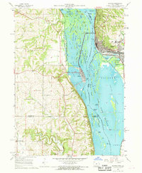 1967 Savanna1968 Print · USGSThe riverfront towns of Savanna and Sabula are captured in the late sixties as bustling rail and river hubs. Genealogists can locate several local burial grounds including St Johns Cem and Canada Hollow Cem near the Plum River.4 unique versions available
 - 1976 Map of Dubuque
 1976 Dubuque1976 Print · USGSThe tri-state borderlands of Iowa, Wisconsin, and Illinois come alive during the mid-seventies, showing a region built on river commerce and mining. Genealogists and historians can trace the paths of the Illinois Central railroad or locate heritage sites like the New Melleray Abbey Monastery and Backbone State Park.
 - 1984 Map of Dubuque South, 1985 Print
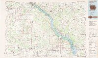 1984 Dubuque South1985 Print · USGSEastern Iowa and Northwest Illinois meet along the Mississippi in the mid-eighties, a landscape defined by river industry and limestone bluffs. Trace the rail lines of the Illinois Central Gulf or explore notable sites like the Savanna Army Depot and Maquoketa Caves State Park.4 unique versions available
 - 1985 Map of Wacker, 1986 Print
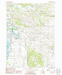 1985 Wacker1986 Print · USGSThe Mississippi River bluffs and inland valleys of Carroll County are captured here in the mid-1980s. Local researchers can trace rural settlements like Wacker and Argo Fay or locate landmarks such as Old Mill Park and Stransky Memorial Airport.
 - 2011 Map of Savanna, 2011 Print
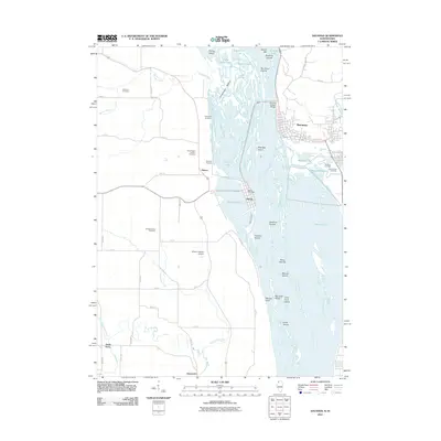 2011 Savanna2011 Print · USGSThe riverfront communities of the Upper Mississippi are captured here in the early twenty-first century, showing the intricate wetlands between Illinois and Iowa. Trace family history at Canada Hollow Cemetery and explore the island streetscapes of Sabula.
 - 2012 Map of Wacker, 2012 Print
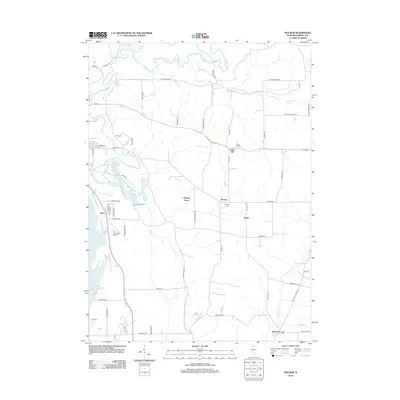 2012 Wacker2012 Print · USGSCarroll County in the early twenty-first century remains a landscape of river-side settlements and agricultural hubs. Researchers can trace local heritage through sites like Hickory Grove, Argo Cem, and the old connections along Fulrath Mill Rd.
 - 2012 Map of Savanna, 2012 Print
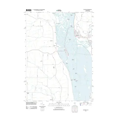 2012 Savanna2012 Print · USGSThe riverfront communities of the Upper Mississippi are captured here in the early twenty-first century, showcasing the vital connection between Savanna and Sabula. Genealogists and local historians can trace family plots at Canada Hollow Cem and Saint Johns Cem or explore the river islands like Eldridge Island.
 - 2015 Map of Savanna, 2015 Print
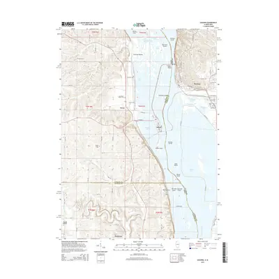 2015 Savanna2015 Print · USGSThe Mississippi River valley comes alive in this mid-2010s survey of the Illinois-Iowa borderlands. Researchers can trace family history through numerous local sites like Saint Johns Cem or Canada Hollow Cem and locate smaller communities such as Samoa and Hauntown.
 - 2015 Map of Wacker, 2015 Print
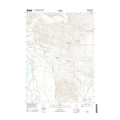 2015 Wacker2015 Print · USGSCarroll County is shown in detail during the mid-2010s, capturing the rural landscape between the Mississippi River bluffs and inland farm communities. Family historians can locate several resting places and small settlements, including Wacker Cemetery, Center Hill, and the community of Argo Fay.
 - 2018 Map of Wacker, 2018 Print
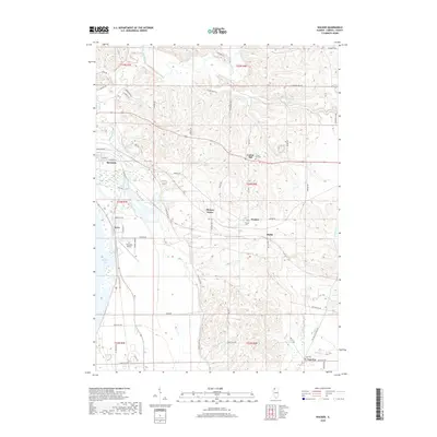 2018 Wacker2018 Print · USGSCarroll County's river bluffs and rural crossroads are captured here during the late twenty-teens. Researchers can trace family history through local sites like Center Hill Cem or locate old settlements such as Wacker and Argo Fay.
 - 2018 Map of Savanna, 2018 Print
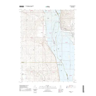 2018 Savanna2018 Print · USGSThe riverfront culture of the Upper Mississippi is on full display here in the late twenty-teens, showing the interconnected borderlands of Illinois and Iowa. Researchers can trace family sites at Canada Hollow Cem or explore the river islands like Mound Island and Dixie Islands.
 - 2021 Map of Wacker, 2021 Print
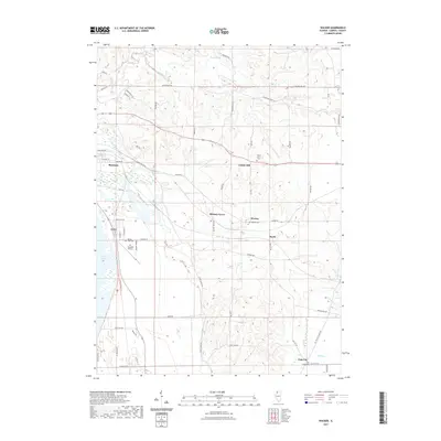 2021 Wacker2021 Print · USGSThe river valleys and farmsteads of Carroll County come to life in this contemporary survey of the Savanna area. Researchers can trace family ties through Argo Cem and Wacker Cem or locate rural hubs like Hickory Grove and Argo Fay.
 - 2021 Map of Savanna, 2021 Print
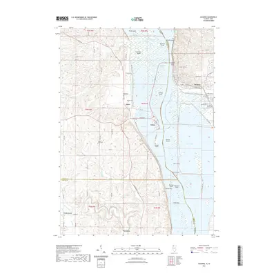 2021 Savanna2021 Print · USGSThe Mississippi River corridor between Illinois and Iowa appears here in the early 2020s, showcasing the intricate islands and river bluffs. Researchers can locate family sites at Evergreen Cem and Simpson Cem or trace the riverfronts of Savanna and Sabula.
 - 2024 Map of Savanna, 2024 Print
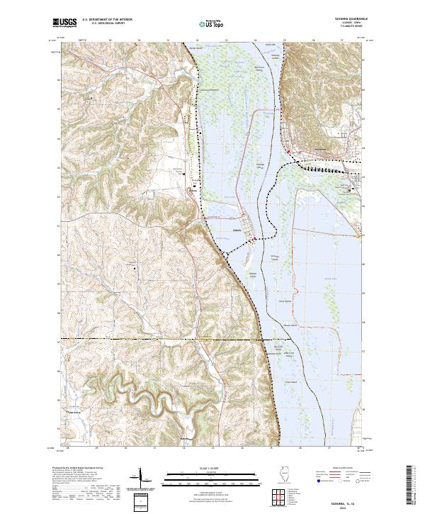 2024 Savanna2024 Print · USGSThe Mississippi River corridor between Illinois and Iowa comes alive in this study of its islands and sloughs during the mid-2020s. Genealogists can locate family names at Evergreen Cem and Simpson Cem or trace the old roads connecting Samoa and Sabula.
 - 2024 Map of Wacker, 2024 Print
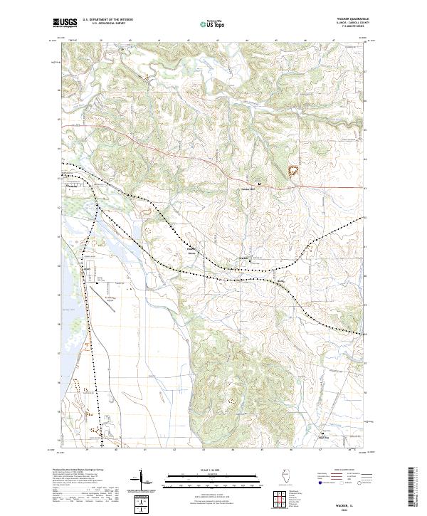 2024 Wacker2024 Print · USGSCarroll County, Illinois, remains a landscape of quiet rural hamlets and river-bottom refuges in this modern topographic study. Researchers can trace local lineage through Center Hill Cem and Argo Cem or locate old crossroads like Hickory Grove and Argo Fay.
End of results
Showing maps 1-20 of 20
Top cities near Savanna
- Clinton historical maps
- Fulton historical maps
- Mount Carroll historical maps
- Hanover historical maps
- Elizabeth historical maps
- Thomson historical maps
See more
Frequently asked questions
- What are the different types of historical maps available for Savanna?
- What is the oldest map of Savanna?
- Where can I purchase historical maps of Savanna for my home or office?
- Where can I download high-res historical maps of Savanna?
- Are there historical topographic maps available for Savanna?
- Is there historical aerial imagery available for Savanna?
- Where are historical maps of Savanna sourced from?