Old Maps of Beardstown, Illinois for Genealogy
Trace your family roots with 27 historic maps of Beardstown. These high-res maps reveal old neighborhoods, homesites, landmarks, and streets — helping you uncover where your ancestors lived and how the area evolved over time.
- Explore historic neighborhoods: Identify where your relatives may have lived in the 1800s or 1900s.
- Compare maps over time: Trace the changes in streets, buildings, and landmarks for multi-generational research.
- Perfect for genealogy & ancestry research: Used by family historians and researchers to map out lineage and migration.
These maps are an incredible resource for exploring your personal connection to Beardstown's past.
Beardstown, IL maps
(27)- 1926 Map of Beardstown
 1926 Beardstown1926 Print · USGSThe Illinois River valley and its surrounding bluffs are shown in the mid-1920s, centered on the river hub of Beardstown. Genealogists can trace family ties to dozens of local landmarks, from Griggs Chapel and Mt Zion Church to rural schools like Good Hope School and Biren School.2 unique versions available
 - 1929 Map of Arenzville, 1969 Print
 1929 Arenzville1969 Print · USGSThe fertile bottomlands of Cass and Morgan Counties are seen here in the late twenties, defined by a dense grid of family farms and rural schools. Genealogists can locate specific landmarks like the Neelyville PO, St Peters Ch, and Jersey College Sch.2 unique versions available
 - 1932 Map of Arenzville
 1932 Arenzville1932 Print · USGSThe bluffs and bottomlands of Cass and Morgan Counties are meticulously documented here in the early thirties. Local historians can trace family roots through dozens of rural landmarks, including Jersey College Sch, Bethel Chapel, and the settlement of Joy Prairie.
 - 1944 Map of Beardstown, 1959 Print
 1944 Beardstown1959 Print · USGSBeardstown and the Illinois River valley are shown here in the mid-forties, capturing a landscape of shifting river channels and rural school districts. Genealogists can trace family names through landmarks like Griggs Chapel, McClung School, and Sheldons Grove.2 unique versions available
 - 1948 Map of Quincy
 1948 Quincy1948 Print · USGSThe Mississippi and Illinois River valleys are captured at a post-war crossroads as rail and river travel met the expanding highway system. Genealogists can trace family settlements from Quincy to Hannibal and smaller towns like Vandalia and Jerseyville.2 unique versions available
 - 1956 Map of Quincy, 1967 Print
 1956 Quincy1967 Print · USGSThe river and rail corridors of the Illinois-Missouri border are documented here during the mid-1950s. Researchers can trace historic river landings and regional transit hubs from Quincy and Hannibal to smaller settlements like Meredosia and Roodhouse.3 unique versions available
 - 1958 Map of Burlington, 1968 Print
 1958 Burlington1968 Print · USGSThe tri-state river country of Iowa, Illinois, and Missouri is captured here in the mid-fifties, dominated by the Mississippi River and major rail lines. Genealogists and historians can trace the development of river towns like Keokuk or locate the sprawling Iowa Army Ammunition Plant.4 unique versions available
 - 1961 Map of Burlington
 1961 Burlington1961 Print · USGSThe tri-state borderlands along the Mississippi River are captured here during the late fifties and early sixties, showing the vital river-and-rail economy of Iowa, Illinois, and Missouri. Genealogists and historians can trace the development of major hubs like Galesburg and Macomb alongside landmark sites such as the Iowa Ordnance Plant and the historic river town of Nauvoo.
 - 1963 Map of Burlington
 1963 Burlington1963 Print · USGSThe tri-state river country of the Mississippi and Illinois valleys comes alive in this mid-century survey. Genealogists and historians can trace the industrial and academic growth of the region, from the Iowa Ordnance Plant to campuses like Knox College and Western Illinois University.
 - 1975 Map of Beardstown SW, 1976 Print
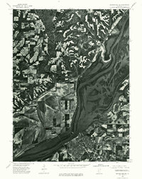 1975 Beardstown SW1976 Print · USGSBeardstown and the surrounding river bottoms are captured in high detail in the mid-1970s, showing the town at a significant confluence. Genealogists and local historians can trace the street layouts of Beardstown and the upland settlement of Pleasant View.
 - 1981 Map of Beardstown
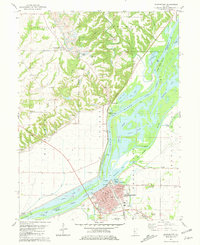 1981 Beardstown1981 Print · USGSBeardstown and the Illinois River bottomlands are captured in the early 1980s as the river and rail lines continue to shape the local economy. Genealogists can locate several family-named burial sites like Bellamy Cem and Gillette Cem or trace the old roads near Pleasant View.
 - 1983 Map of Arenzville West
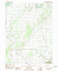 1983 Arenzville West1983 Print · USGSCass County agriculture and river-town life meet in the early eighties along the Illinois River and eastern bluffs. Genealogists and researchers can trace family landmarks like St Peters Ch, Hackman Cem, and the old Townhall near the railroad.2 unique versions available
 - 1985 Map of Macomb
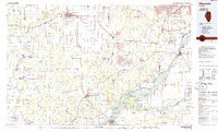 1985 Macomb1985 Print · USGSWest Central Illinois in the mid-eighties shows a robust network of river towns and rail corridors spanning from the Illinois River to the Lamoine. Genealogists and historians can trace the foundations of Macomb, find rural landmarks like Pennington Point, or locate early conservation sites like Argyle Lake State Park.
 - 1985 Map of Meredosia, 1988 Print
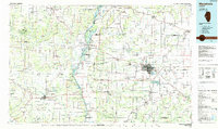 1985 Meredosia1988 Print · USGSWest Central Illinois in the mid-eighties was a landscape of deep-rooted river towns and historic educational institutions. Genealogists and historians can trace family ties through Diamond Grove Cem, locate MacMurray College in Jacksonville, or study the river engineering at La Grange Lock and Dam.
 - 1989 Map of Macomb
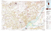 1989 Macomb1989 Print · USGSWest Central Illinois in the late eighties shows a landscape of river-bottom conservation and rail-town commerce. Researchers can trace the extensive wetlands of the Illinois River or locate historic transport hubs in Macomb, Colchester, and Beardstown.
 - 1990 Map of Burlington
 1990 Burlington1990 Print · USGSThe tri-state confluence of Iowa, Illinois, and Missouri is mapped here at the end of the twentieth century. Genealogists and historians can trace the riverfront heritage of Burlington, Keokuk, and Fort Madison, or locate sites like the Battle of Athens State Historic Site.2 unique versions available
 - 1990 Map of Meredosia
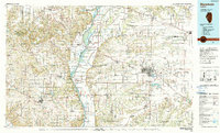 1990 Meredosia1990 Print · USGSThe Illinois River valley and its surrounding farm towns are captured here in the 1990s. Trace the intricate rail lines of the Norfolk Southern Railway and find local landmarks like Diamond Grove Cem or the Meredosia National Wildlife Refuge.
 - 2012 Map of Beardstown, 2012 Print
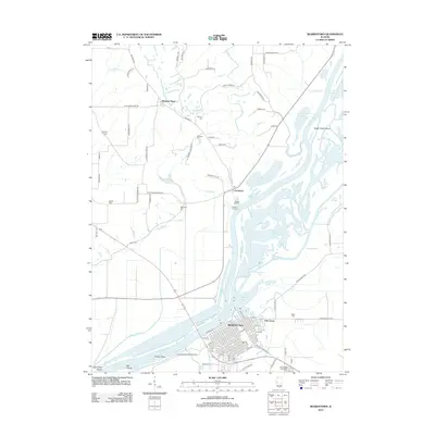 2012 Beardstown2012 Print · USGSIn the early twenty-first century, this riverfront corridor in Cass County reveals a landscape defined by the Illinois River and its expansive wetlands. Genealogists and local historians can locate several family burial grounds, including Boling Cem and Otgen Cem, alongside landing sites like Frederick Landing.
 - 2012 Map of Arenzville West, 2012 Print
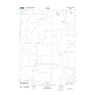 2012 Arenzville West2012 Print · USGSThe rural prairie of Cass County is captured here in the early twenty-first century, showing a landscape shaped by drainage engineering and small-town aviation. Researchers can locate numerous historic burial sites like Black Oak Cem and Hackman Cem, or trace the winding path of Old Channel Mud Cr.
 - 2015 Map of Arenzville West, 2015 Print
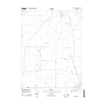 2015 Arenzville West2015 Print · USGSCass County agriculture and drainage systems define this mid-Illinois landscape during the early twenty-first century. Researchers can locate family sites and rural landmarks such as Saint Peters Lutheran Cem, Wagoner Bridge, and the community of Hagener.
 - 2015 Map of Beardstown, 2015 Print
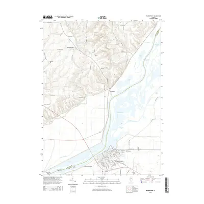 2015 Beardstown2015 Print · USGSBeardstown and the surrounding river bottoms are documented here just after the turn of the twenty-first century. Genealogists and local historians can trace family plots at Gillette Cemetery or Otgen Cem and explore the historic layout of Beardstown.
 - 2018 Map of Arenzville West, 2018 Print
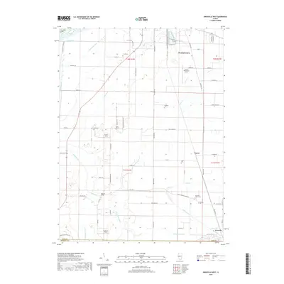 2018 Arenzville West2018 Print · USGSThe Illinois River lowlands south of Beardstown are captured here in the late twenty-tens, showing a landscape shaped by drainage ditches and levee systems. Genealogists can locate family sites at Saint Peters Lutheran Cem, Black Oak Cem, and Wagle Cem.
 - 2018 Map of Beardstown, 2018 Print
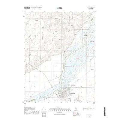 2018 Beardstown2018 Print · USGSThe Illinois River valley near Beardstown was a complex of wetlands and river commerce at the end of the 2010s. Researchers can trace land use through the drainage of Muscooten Bay and locate local landmarks like Mansion Hill and Oak Grove Cem.
 - 2021 Map of Arenzville West, 2021 Print
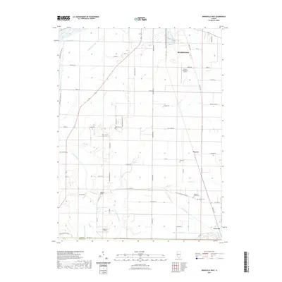 2021 Arenzville West2021 Print · USGSThe Illinois River bottomlands south of Beardstown are shown here in modern detail, emphasizing a landscape defined by industrial agriculture and drainage. Researchers can trace family history at Saint Peters Lutheran Cem or locate the site of Hagener.
 - 2021 Map of Beardstown, 2021 Print
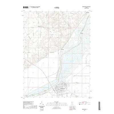 2021 Beardstown2021 Print · USGSBeardstown sits at the heart of the Illinois River valley in this modern survey of the Schuyler and Cass county border. Family historians can trace numerous rural burial grounds like Boling Cem and Gillette Cem or explore the riverfronts of Frederick and Browning.
Showing maps 1-25 of 27
Top cities near Beardstown
- Rushville historical maps
- Virginia historical maps
- Meredosia historical maps
- Bluff Springs historical maps
- Chapin historical maps
- Arenzville historical maps
See more
Top neighborhoods of Beardstown
Frequently asked questions
- What are the different types of historical maps available for Beardstown?
- What is the oldest map of Beardstown?
- Where can I purchase historical maps of Beardstown for my home or office?
- Where can I download high-res historical maps of Beardstown?
- Are there historical topographic maps available for Beardstown?
- Is there historical aerial imagery available for Beardstown?
- Where are historical maps of Beardstown sourced from?