Old Maps of Bongard, Illinois for Hiking & Exploration
Hike through history with 11 historic maps of Bongard. Explore old trails, ghost towns, and forgotten backroads — perfect for outdoor adventurers and local explorers.
- Rediscover forgotten places: Map out old mining camps, roads, and footpaths that no longer exist on modern maps.
- Layer with modern tools: Combine with LiDAR or satellite views to plan hikes through historical terrain.
- Made for exploration: Popular among hikers, overlanders, and local history lovers.
Use these maps to find adventure and explore the hidden past of Bongard.
Bongard, IL maps
(11)- 1956 Map of Villa Grove, 1957 Print
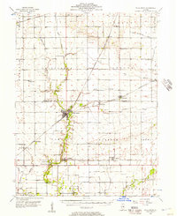 1956 Villa Grove1957 Print · USGSVilla Grove and the rural townships of Douglas and Champaign Counties are shown in the mid-1950s, a period defined by small-town rail commerce and fertile prairie farmland. Genealogists can locate family landmarks like Patterson Springs, Lynn Grove Cem, and St Mary Sch.2 unique versions available
 - 1958 Map of Decatur, 1971 Print
 1958 Decatur1971 Print · USGSCentral Illinois in the mid-twentieth century shows a landscape defined by industrial rail hubs and the creation of large reservoirs. Researchers can trace historic corridors like the Penn Central or locate landmarks such as Lincoln Log Cabin State Park and Lake Springfield.3 unique versions available
 - 1961 Map of Decatur
 1961 Decatur1961 Print · USGSCentral Illinois in the late fifties was a bustling corridor of rail lines and prairie commerce centered on the state capital. Genealogists and historians can trace the intricate connections between Springfield, Decatur, and dozens of smaller settlements like Nokomis and Arcola.2 unique versions available
 - 1982 Map of Longview, 1983 Print
 1982 Longview1983 Print · USGSChampaign and Douglas Counties in the early eighties show a landscape of productive prairie farmland and tight-knit rail towns. Researchers can trace family history through local sites like Immaculate Conception Ch, St John Cem, and the village of Longview.
 - 1985 Map of Decatur
 1985 Decatur1985 Print · USGSCentral Illinois farming and rail hubs thrive in the mid-1980s as Decatur anchors a sprawling network of track and timber. Trace the paths of the Sangamon River and the Illinois Central Gulf RR through old towns like Cerro Gordo and Bement.2 unique versions available
 - 1998 Map of Longview, 2003 Print
 1998 Longview2003 Print · USGSThe rural borderlands of Champaign and Douglas counties are documented here in the late 1990s, showing a landscape defined by farming and small-town junctions. Local historians can trace family roots through sites like Lynn Grove Cemetery, Broadlands, and the Immaculate Conception Church.
 - 2012 Map of Longview, 2012 Print
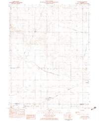
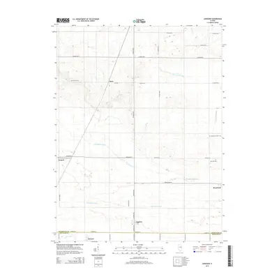
 2012 Longview2012 Print · USGSCovers Bongard, including Broadlands, Longview, and other nearby areas
 - 2015 Map of Longview, 2015 Print
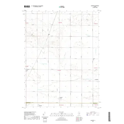
 2015 Longview2015 Print · USGSCovers Bongard, including Broadlands, Longview, and other nearby areas
 - 2018 Map of Longview, 2018 Print
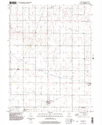
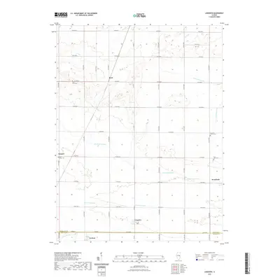
 2018 Longview2018 Print · USGSCovers Bongard, including Broadlands, Longview, and other nearby areas
 - 2021 Map of Longview, 2021 Print
 2021 Longview2021 Print · USGSCovers Bongard, including Broadlands, Longview, and other nearby areas
 - 2024 Map of Longview, 2024 Print
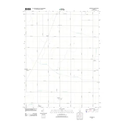
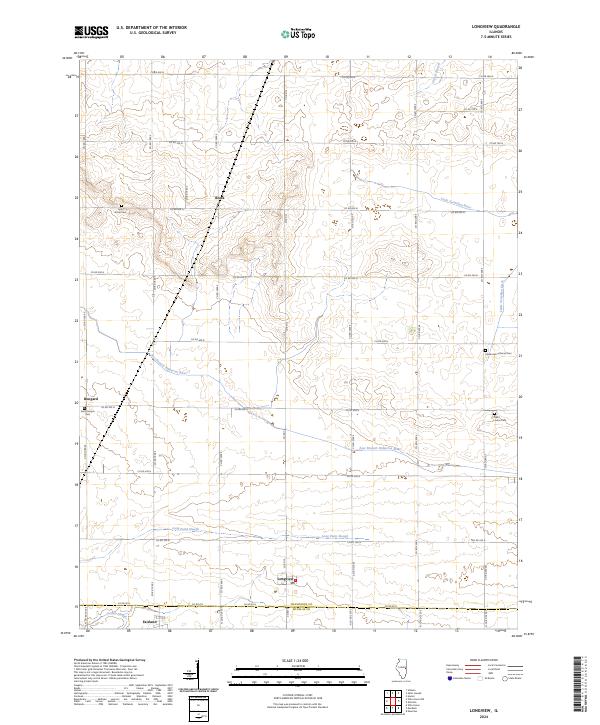 2024 Longview2024 Print · USGSThe Champaign and Douglas County borderlands come into focus in this contemporary survey of East Central Illinois. Genealogists can locate family sites at Lynn Grove Cem and Saint Johns Cem or trace the early paths of Jordan Slough and Bongard.
End of results
Showing maps 1-11 of 11
Top cities near Bongard
- Champaign historical maps
- Urbana historical maps
- Savoy historical maps
- Tuscola historical maps
- Tolono historical maps
- Villa Grove historical maps
See more
Frequently asked questions
- What are the different types of historical maps available for Bongard?
- What is the oldest map of Bongard?
- Where can I purchase historical maps of Bongard for my home or office?
- Where can I download high-res historical maps of Bongard?
- Are there historical topographic maps available for Bongard?
- Is there historical aerial imagery available for Bongard?
- Where are historical maps of Bongard sourced from?