Old Maps of Savoy, Illinois for Metal Detecting
Plan your next treasure hunt with 26 historic maps of Savoy. Find old homesites, ghost towns, trails, and gathering spots that may be lost to time — perfect for identifying promising metal detecting locations.
- Locate forgotten sites: Uncover places like long-lost settlements, abandoned rail lines, or gathering spots.
- Plan better hunts: Use map overlays combined with LiDAR or satellite views to narrow in on historically rich areas.
- Made for detectorists: Thousands of hobbyists use these maps to discover relics, coins, and hidden history.
Use these historic maps to boost your research and find new opportunities beneath the surface of Savoy.
Savoy, IL maps
(26)- 1906 Map of Urbana
 1906 Urbana1906 Print · USGSChampaign County at the turn of the century is a landscape of thriving railroad towns and prairie farmsteads. Trace the early growth of Champaign and Urbana or find the sites of vanished rural stops like Mayview, Glover, and Angerville.7 unique versions available
 - 1907 Map of Mahomet
 1907 Mahomet1907 Print · USGSChampaign County at the peak of the rail era shows a landscape of burgeoning prairie towns and rural schools. Genealogists and historians can trace family locations near Mahomet, find the precise sites of Bunker Hill School and Fisher School, or follow the Sangamon River.5 unique versions available
 - 1957 Map of Urbana, 1958 Print
 1957 Urbana1958 Print · USGSCentral Illinois during the late fifties reveals the mid-century growth of the twin cities and their surrounding rail towns. Genealogists can locate family landmarks like Mt Olive Cem, Carley Ch, and the rural Locust Grove Sch.2 unique versions available
 - 1957 Map of Urbana, 1958 Print
 1957 Urbana1958 Print · USGSThe twin cities of Champaign and Urbana are captured here in the late fifties, showing a dense network of university buildings, hospitals, and rail lines. Genealogists and local historians can trace legacy sites like Mt Hope Cemetery, Silver Sch, and the village of Philo.2 unique versions available
 - 1957 Map of Mahomet, 1958 Print
 1957 Mahomet1958 Print · USGSChampaign and its rural neighbors are captured in the late fifties as the city expanded westward toward the Sangamon River. Local researchers can trace family landmarks like Dunkard Cem, the St John Chi, and the University of Illinois Airport.2 unique versions available
 - 1957 Map of Bondville, 1958 Print
 1957 Bondville1958 Print · USGSChampaign and its western neighbors are captured in the late 1950s as suburban expansion meets rural prairie. Genealogists and historians can trace defunct landmarks like South Prairie School or the early layout of the University of Illinois Airport.
 - 1958 Map of Peoria, 1969 Print
 1958 Peoria1969 Print · USGSCentral Illinois thrived as a hub of education and transport during the late sixties, as the new interstate system began to reshape the prairie. Genealogists and historians can trace local landmarks like Springdale Cem, Bradley University, and the sprawling grounds of Chanute AFB.4 unique versions available
 - 1961 Map of Peoria
 1961 Peoria1961 Print · USGSCentral Illinois thrived at the intersection of river trade and rail power during the late fifties. Genealogists and local historians can trace the rail networks of the Illinois Central and Wabash, alongside landmarks like Chanute AFB and Weldon Springs State Park.
 - 1963 Map of Peoria
 1963 Peoria1963 Print · USGSCentral Illinois thrived as a rail and highway crossroads during the early sixties, centered on the bustling Illinois River valley. Genealogists and historians can trace the mid-century layout of Peoria, locate the grounds of Chanute Air Force Base, and follow historic lines like the Toledo Peoria and Western Railway.
 - 1970 Map of Urbana, 1972 Print
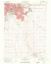 1970 Urbana1972 Print · USGSChampaign and Urbana are captured here during a period of significant university expansion and suburban growth. Researchers can trace early campus footprints near Memorial Stadium or locate family plots in Mt Hope Cemetery and Calvary Cem.3 unique versions available
 - 1970 Map of Bondville, 1972 Print
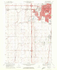 1970 Bondville1972 Print · USGSChampaign and its western fringes reached a pivotal stage of growth in the early seventies, as residential grids began to meet the surrounding prairie. Genealogists and researchers can trace the locations of Prairieview Cem, local schools like Howard Sch, and the expansion of the University of Illinois-Willard Airport.2 unique versions available
 - 1975 Map of Bondville, 1976 Print
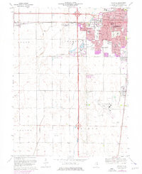 1975 Bondville1976 Print · USGSChampaign and Savoy expanded rapidly during the mid-seventies, pushing new subdivisions and schools into former farmland. Genealogists and local historians can trace family-named sites and vanished rural features like Prairieview Cem, Staley, and the early layout of University of Illinois-Willard Airport.
 - 1985 Map of Champaign, 1986 Print
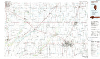 1985 Champaign1986 Print · USGSThe Illinois prairie comes alive in this mid-eighties survey of the vital rail corridor between Bloomington and Champaign. Genealogists and historians can trace the development of township hubs like Saybrook and Bellflower or locate Chanute Air Force Base and the Sangamon River.2 unique versions available
 - 1990 Map of Peoria
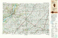 1990 Peoria1990 Print · USGSCentral Illinois at the start of the nineties reveals a landscape of industrial river towns and sprawling university campuses. Researchers can trace the legacy of major institutions like Chanute Air Force Base and the University of Illinois alongside regional landmarks such as Sand Ridge State Forest.
 - 1998 Map of Urbana, 2001 Print
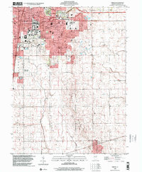 1998 Urbana2001 Print · USGSChampaign and Urbana are captured here in the late nineties, documenting the extensive footprint of the University of Illinois and its surrounding neighborhoods. Genealogists and historians can trace the paths of the Illinois Central Railroad and locate several outlying landmarks like Mt Hope Cemetery and the village of Philo.
 - 1998 Map of Bondville, 2001 Print
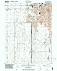 1998 Bondville2001 Print · USGSThe western suburbs of Champaign and the village of Bondville are captured in the late nineties as the urban fringe met the prairie. Trace the development of Willard Airport and find local landmarks like Prairieview Cem and Kenwood Sch.
 - 2012 Map of Bondville, 2012 Print
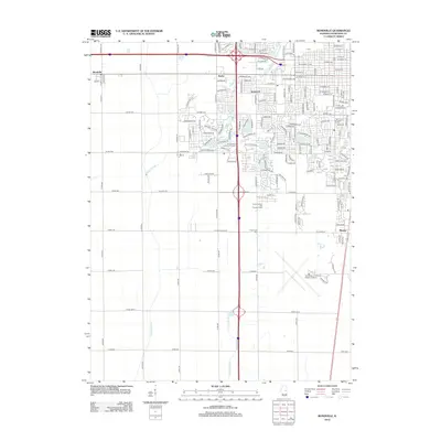 2012 Bondville2012 Print · USGSThe western outskirts of Champaign-Urbana are shown here in the early 2010s as suburban growth met traditional Illinois farmland. Researchers can trace the development of Savoy and Kenwood or locate local landmarks like Prairieview Cem and Maynard Lake.
 - 2012 Map of Urbana, 2012 Print
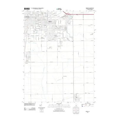 2012 Urbana2012 Print · USGSChampaign and Urbana are shown in the early twenty-first century, balancing a growing university center with their deep agricultural roots. Genealogists and researchers can trace local family history through numerous landmarks like Mount Hope Cem, Philo, and the Champaign County Fairground.
 - 2015 Map of Bondville, 2015 Print
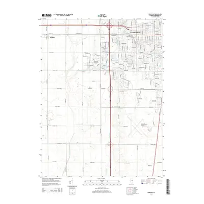 2015 Bondville2015 Print · USGSThe Champaign prairie in the mid-2010s shows a landscape of expanding suburbs and historic farm roads. Genealogists and local historians can trace the footprint of Staley and Bondville, or locate burial sites at Prairieview Cem near the Twomile Slough.
 - 2015 Map of Urbana, 2015 Print
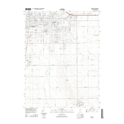 2015 Urbana2015 Print · USGSChampaign and Urbana are captured here in the mid-2010s, showing the intersection of a major research university and the surrounding Illinois prairie. Researchers can trace the development of the University of Illinois and locate historic burial sites like Harvey Cem and Mount Hope Cem.
 - 2018 Map of Urbana, 2018 Print
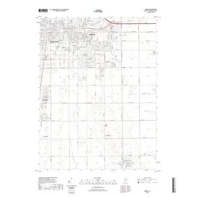 2018 Urbana2018 Print · USGSChampaign and Urbana sit at the heart of this East Central Illinois survey, documenting the region's university-driven growth and surrounding farmland. Researchers can trace the Illinois Central RR and locate numerous family burial sites like Harvey Cem and Mount Hope Cem.
 - 2018 Map of Bondville, 2018 Print
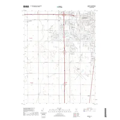 2018 Bondville2018 Print · USGSChampaign and its western agricultural neighbors are captured in this recent survey, showcasing the region's mix of suburban growth and traditional prairie farming. Researchers can trace local landmarks like Prairieview Cem or follow the paths of Kaskaskia Ditch and Copper Slough across the landscape.
 - 2021 Map of Bondville, 2021 Print
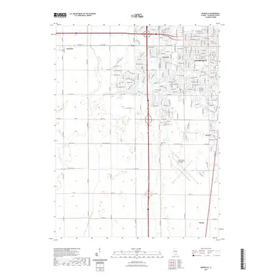 2021 Bondville2021 Print · USGSThe western reaches of Champaign and Savoy are shown here during a period of modern expansion into the surrounding Illinois prairie. Researchers can find detailed suburban street layouts alongside rural landmarks like Prairieview Cem and the University of Illinois-Willard Airport.
 - 2021 Map of Urbana, 2021 Print
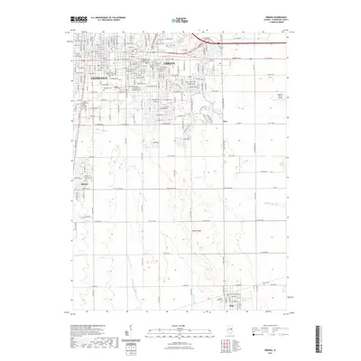 2021 Urbana2021 Print · USGSThe Twin Cities and their surrounding prairie landscapes are captured here in the early 2020s as urban development continues to shape the region. Researchers can trace the sprawling grounds of the University of Illinois or locate historic sites like Harvey Cem and the Champaign County Courthouse.
 - 2024 Map of Urbana, 2024 Print
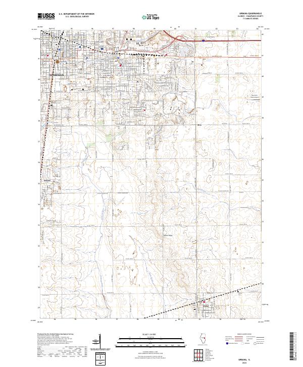 2024 Urbana2024 Print · USGSThe Twin Cities region and its southern prairie hinterlands are documented here in the 2020s, highlighting the expansion of Champaign and the university campus. Genealogists and local historians can trace legacy sites from Mount Hope Cem to the rural Philo area near Yankee Ridge.
Showing maps 1-25 of 26
Top cities near Savoy
- Champaign historical maps
- Urbana historical maps
- Rantoul historical maps
- Mahomet historical maps
- Tolono historical maps
- Villa Grove historical maps
See more
Frequently asked questions
- What are the different types of historical maps available for Savoy?
- What is the oldest map of Savoy?
- Where can I purchase historical maps of Savoy for my home or office?
- Where can I download high-res historical maps of Savoy?
- Are there historical topographic maps available for Savoy?
- Is there historical aerial imagery available for Savoy?
- Where are historical maps of Savoy sourced from?