Old Maps of Westfield, Illinois for Hiking & Exploration
Hike through history with 27 historic maps of Westfield. Explore old trails, ghost towns, and forgotten backroads — perfect for outdoor adventurers and local explorers.
- Rediscover forgotten places: Map out old mining camps, roads, and footpaths that no longer exist on modern maps.
- Layer with modern tools: Combine with LiDAR or satellite views to plan hikes through historical terrain.
- Made for exploration: Popular among hikers, overlanders, and local history lovers.
Use these maps to find adventure and explore the hidden past of Westfield.
Westfield, IL maps
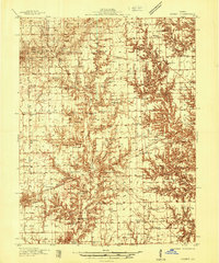
(27)- 1933 Map of Toledo, 1958 Print
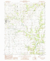
 1933 Toledo1958 Print · USGSEast-central Illinois during the early thirties is captured here as a landscape of river-valley crossings and small-town rail hubs. Genealogists can trace family roots through numerous rural landmarks like Unity Chapel, Bell Cem, and the historic Lincoln Log Cabin State Park.2 unique versions available
 - 1936 Map of Casey
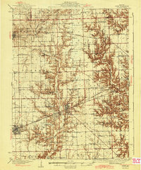
 1936 Casey1936 Print · USGSEast-central Illinois comes into focus in the mid-thirties as a hub of rail transport and early energy production. Genealogists can trace family names through dozens of rural sites, from Pikes Peak Ch to the Tank Farm and Oilfield settlement.
 - 1938 Map of Toledo
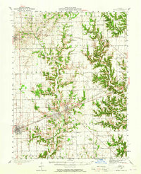
 1938 Toledo1938 Print · USGSCentral Illinois at the height of the New Deal era reveals a landscape of family farms and river-bottom timber. Genealogists can trace family landmarks like Tippett Cem, Unity Chapel, and numerous schools including Little Brick Sch.
 - 1942 Map of Casey, 1965 Print
 1942 Casey1965 Print · USGSEast-central Illinois comes to life in this mid-century survey of the rail and road networks connecting Casey and Martinsville. Genealogists can trace family legacies through numerous landmarks like Enlow Cem, Willis Chapel, and School No 3.2 unique versions available
 - 1943 Map of Casey
 1943 Casey1943 Print · USGSEastern Illinois during the late thirties and early forties reveals a landscape of railroad towns and emerging oil infrastructure. Genealogists and researchers can trace dozens of rural landmarks, from the Abraham Lincoln Sch to the industrial TANK FARM and the Airway Beacon near Martinsville.2 unique versions available
 - 1953 Map of Indianapolis, 1965 Print
 1953 Indianapolis1965 Print · USGSCentral Indiana and the Illinois borderlands are captured in the mid-sixties, showing the growth of Indianapolis and its industrial rail corridors. Genealogists and historians can trace the development of outlying towns like Zionsville or Beech Grove and find landmarks such as Atterbury AAF and Turkey Run State Park.4 unique versions available
 - 1956 Map of Indianapolis
 1956 Indianapolis1956 Print · USGSCentral Indiana in the mid-fifties is captured during a period of industrial growth and military presence. Genealogists and historians can trace the rail networks of the New York Central or locate regional landmarks like Fort Benjamin Harrison and Camp Atterbury.
 - 1957 Map of Indianapolis
 1957 Indianapolis1957 Print · USGSCentral Indiana in the mid-fifties is captured here as a crossroads of major rail lines and nascent federal highways. Genealogists and historians can trace family-named ridges like Poplar Ridge or locate strategic sites like Camp Atterbury and Speedway.2 unique versions available
 - 1958 Map of Decatur, 1971 Print
 1958 Decatur1971 Print · USGSCentral Illinois in the mid-twentieth century shows a landscape defined by industrial rail hubs and the creation of large reservoirs. Researchers can trace historic corridors like the Penn Central or locate landmarks such as Lincoln Log Cabin State Park and Lake Springfield.3 unique versions available
 - 1961 Map of Decatur
 1961 Decatur1961 Print · USGSCentral Illinois in the late fifties was a bustling corridor of rail lines and prairie commerce centered on the state capital. Genealogists and historians can trace the intricate connections between Springfield, Decatur, and dozens of smaller settlements like Nokomis and Arcola.2 unique versions available
 - 1962 Map of Indianapolis
 1962 Indianapolis1962 Print · USGSCentral Indiana and the Illinois borderlands are captured here in the early sixties, showing the region's dense rail networks and growing urban centers. Genealogists and historians can locate family-named landmarks and institutions like Crown Hill Cem, Indiana University, and the Indianapolis Motor Speedway.
 - 1984 Map of Westfield West, 1985 Print
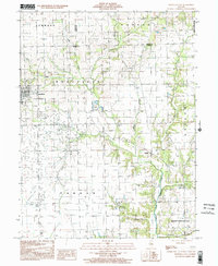
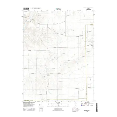
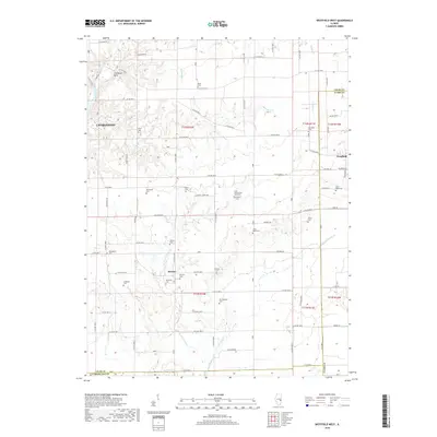
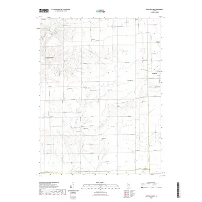
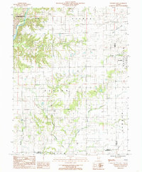 1984 Westfield West1985 Print · USGSThe rural borderlands of Coles and Clark counties come to life in the early 1980s, showing a landscape defined by prairie farmsteads and river bluffs. Researchers can trace family history through numerous CEM sites and the remote reaches of Embarras River and Hurricane Creek.
 - 1984 Map of Westfield East, 1985 Print
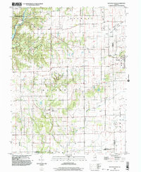
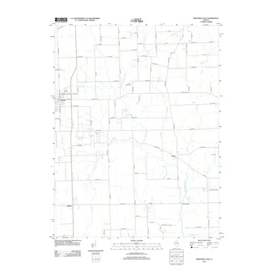
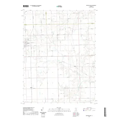
 1984 Westfield East1985 Print · USGSThe rural borderlands of Clark, Coles, and Edgar Counties are captured here in the mid-1980s. Local researchers can trace the roads and waterways around Westfield, the legacy of energy extraction at Oilfield, and numerous family burial sites marked simply as Cem.
 - 1986 Map of Effingham
 1986 Effingham1986 Print · USGSCentral Illinois during the mid-eighties was a hub of rail travel and water recreation centered on the new reservoirs. Genealogists and historians can trace the rural landscape between Mattoon and Effingham, locating landmarks like St Paul Ch and Eagle Creek State Park.2 unique versions available
 - 1986 Map of Terre Haute
 1986 Terre Haute1986 Print · USGSThe Wabash River valley and the coal-rich hills of West-Central Indiana and East-Central Illinois are shown here in the mid-eighties. Genealogists and local historians can trace family-named corners like Barrick Corner, find rural churches like New Hope Ch, and locate industrial landmarks such as the Thunderbird Mine.2 unique versions available
 - 1998 Map of Westfield East, 2002 Print
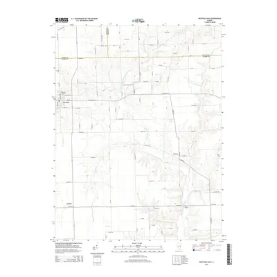
 1998 Westfield East2002 Print · USGSClark County and the surrounding townships are captured in the late twentieth century as agriculture and small-scale industry defined the landscape. Genealogists can trace family roots through Cleone, Oilfield, and scattered cemeteries near the Embarras River.
 - 1998 Map of Westfield West, 2003 Print
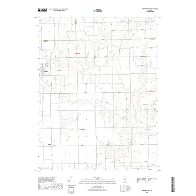
 1998 Westfield West2003 Print · USGSThe prairie and timber lands of east-central Illinois are shown here in the late twentieth century as the Embarras River bypasses Charleston. Researchers can trace rural cemetery sites and old industrial markers like the Mill near Westfield or the Gas Fields Creek drainage.
 - 2012 Map of Westfield West, 2012 Print
 2012 Westfield West2012 Print · USGSCovers Westfield, including Charleston, Hutton, and other nearby areas
 - 2012 Map of Westfield East, 2012 Print
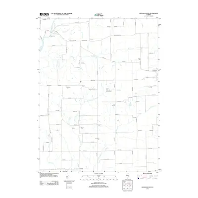
 2012 Westfield East2012 Print · USGSCovers Westfield, including Cleone, Oilfield, and other nearby areas
 - 2015 Map of Westfield West, 2015 Print
 2015 Westfield West2015 Print · USGSCovers Westfield, including Charleston, Hutton, and other nearby areas
 - 2015 Map of Westfield East, 2015 Print
 2015 Westfield East2015 Print · USGSCovers Westfield, including Cleone, Oilfield, and other nearby areas
 - 2018 Map of Westfield East, 2018 Print
 2018 Westfield East2018 Print · USGSCovers Westfield, including Cleone, Oilfield, and other nearby areas
 - 2018 Map of Westfield West, 2018 Print
 2018 Westfield West2018 Print · USGSCovers Westfield, including Charleston, Hutton, and other nearby areas
 - 2021 Map of Westfield West, 2021 Print
 2021 Westfield West2021 Print · USGSCovers Westfield, including Charleston, Hutton, and other nearby areas
 - 2021 Map of Westfield East, 2021 Print
 2021 Westfield East2021 Print · USGSCovers Westfield, including Cleone, Oilfield, and other nearby areas
Showing maps 1-25 of 27
Top cities near Westfield
- Charleston historical maps
- Casey historical maps
- Greenup historical maps
- Martinsville historical maps
- Oakland historical maps
- Hutton historical maps
See more
Frequently asked questions
- What are the different types of historical maps available for Westfield?
- What is the oldest map of Westfield?
- Where can I purchase historical maps of Westfield for my home or office?
- Where can I download high-res historical maps of Westfield?
- Are there historical topographic maps available for Westfield?
- Is there historical aerial imagery available for Westfield?
- Where are historical maps of Westfield sourced from?