2000s (21st Century) Maps of Hoosier Township, Illinois
Explore 20 historic maps of Hoosier Township from the 2000s (21st Century). These maps offer a rare glimpse into what life looked like during the 2000s — showing old roads, neighborhoods, homes, and landmarks that have changed or disappeared over time.
Whether you're researching your family's past, planning a metal detecting trip, or studying how Hoosier Township's landscape evolved across the 2000s, these high-resolution maps are a powerful tool for exploring the history of this region.
- Focus on a specific era: All maps on this page are from the 2000s, giving you a focused view of this time period.
- See what’s changed: Compare century-old streets, trails, and buildings to today's modern landscape using overlays and satellite layers.
- Research with precision: Use these maps for genealogy, historical research, land use analysis, or educational projects.
- View, download, or print: Maps are fully viewable online in high resolution, and can be downloaded or printed for your own records.
Start exploring Hoosier Township's history through authentic maps from the 2000s. This is your window into the past.
Hoosier Township, IL maps
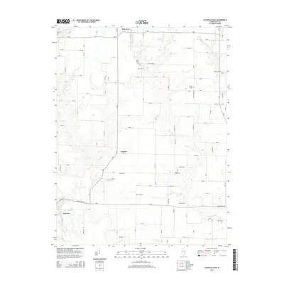
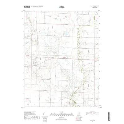
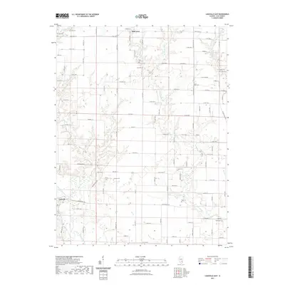
(20)- 2012 Map of Louisville East, 2012 Print
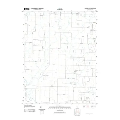 2012 Louisville East2012 Print · USGSCovers Hoosier Township, including Louisville, Bible Grove, and other nearby areas
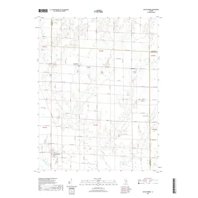
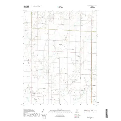
 - 2012 Map of Sailor Springs, 2012 Print
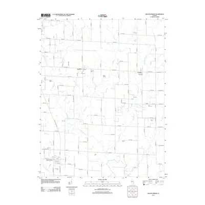 2012 Sailor Springs2012 Print · USGSCovers Hoosier Township, including Sailor Springs, Wendelin, and other nearby areas
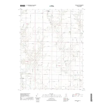
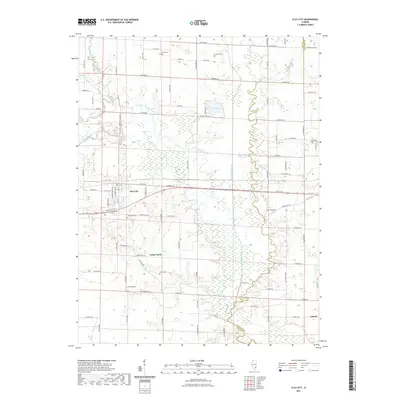
 - 2012 Map of Clay City, 2012 Print
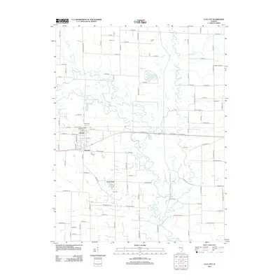 2012 Clay City2012 Print · USGSCovers Hoosier Township, including Clay City, Clay City Township, and other nearby areas
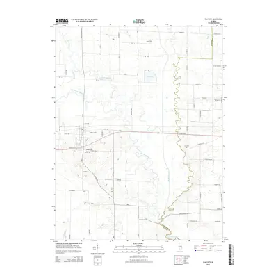
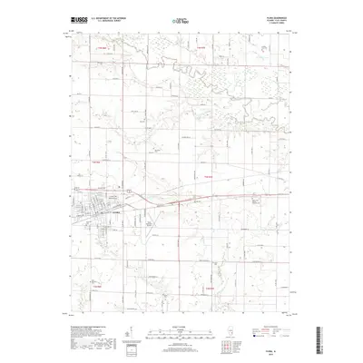
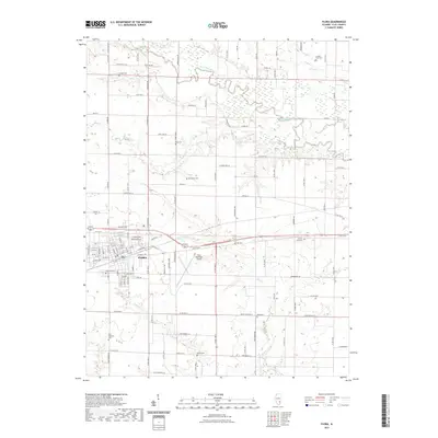
 - 2012 Map of Flora, 2012 Print
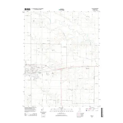
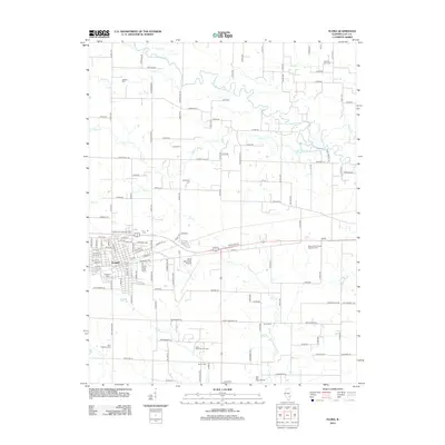 2012 Flora2012 Print · USGSCovers Hoosier Township, including Flora, Harter Township, and other nearby areas
 - 2015 Map of Louisville East, 2015 Print
 2015 Louisville East2015 Print · USGSCovers Hoosier Township, including Louisville, Bible Grove, and other nearby areas
 - 2015 Map of Clay City, 2015 Print
 2015 Clay City2015 Print · USGSCovers Hoosier Township, including Clay City, Clay City Township, and other nearby areas
 - 2015 Map of Sailor Springs, 2015 Print
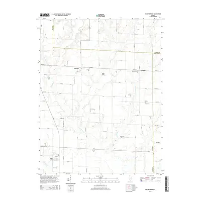 2015 Sailor Springs2015 Print · USGSCovers Hoosier Township, including Sailor Springs, Wendelin, and other nearby areas
 - 2015 Map of Flora, 2015 Print
 2015 Flora2015 Print · USGSCovers Hoosier Township, including Flora, Harter Township, and other nearby areas
 - 2018 Map of Clay City, 2018 Print
 2018 Clay City2018 Print · USGSCovers Hoosier Township, including Clay City, Clay City Township, and other nearby areas
 - 2018 Map of Sailor Springs, 2018 Print
 2018 Sailor Springs2018 Print · USGSCovers Hoosier Township, including Sailor Springs, Wendelin, and other nearby areas
 - 2018 Map of Flora, 2018 Print
 2018 Flora2018 Print · USGSCovers Hoosier Township, including Flora, Harter Township, and other nearby areas
 - 2018 Map of Louisville East, 2018 Print
 2018 Louisville East2018 Print · USGSCovers Hoosier Township, including Louisville, Bible Grove, and other nearby areas
 - 2021 Map of Sailor Springs, 2021 Print
 2021 Sailor Springs2021 Print · USGSCovers Hoosier Township, including Sailor Springs, Wendelin, and other nearby areas
 - 2021 Map of Louisville East, 2021 Print
 2021 Louisville East2021 Print · USGSCovers Hoosier Township, including Louisville, Bible Grove, and other nearby areas
 - 2021 Map of Clay City, 2021 Print
 2021 Clay City2021 Print · USGSCovers Hoosier Township, including Clay City, Clay City Township, and other nearby areas
 - 2021 Map of Flora, 2021 Print
 2021 Flora2021 Print · USGSCovers Hoosier Township, including Flora, Harter Township, and other nearby areas
 - 2024 Map of Sailor Springs, 2024 Print
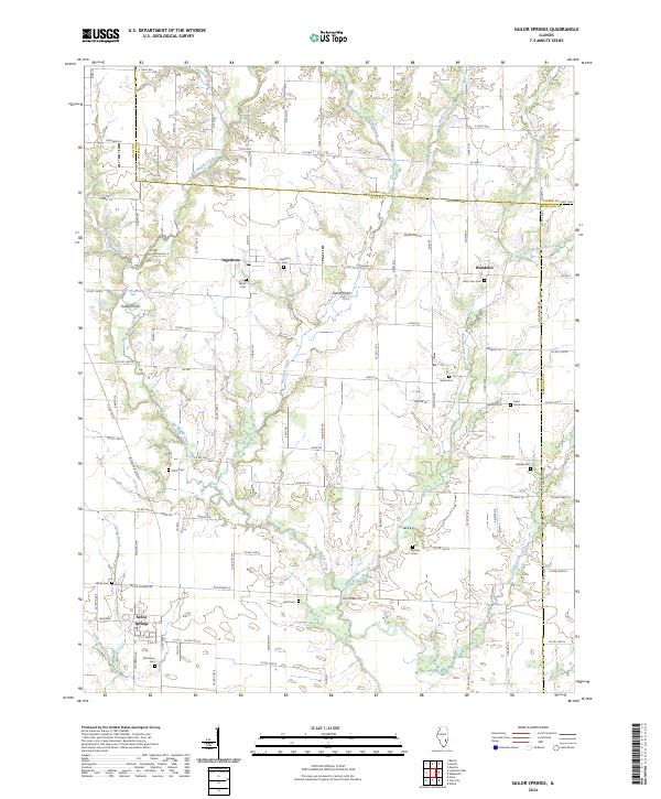 2024 Sailor Springs2024 Print · USGSClay and Jasper counties meet in this rural Illinois landscape, showing the area as it remains shaped by its creek systems and small crossroads. Researchers can locate several historic burial grounds like Saint Johns Cem and Holy Cross Cem, along with the village of Sailor Springs.
 - 2024 Map of Flora, 2024 Print
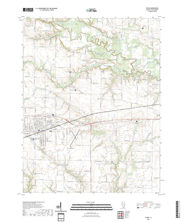 2024 Flora2024 Print · USGSClay County's rural character is on full display here in the early twenty-first century, centered on the crossroads at Flora. Researchers can trace dozens of family burial sites like McCawley Cem and Kneff Cem tucked along the bends of the Little Wabash River.
 - 2024 Map of Clay City, 2024 Print
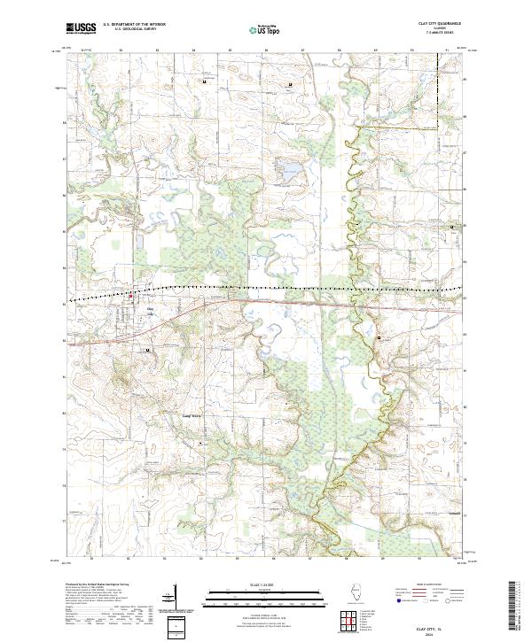 2024 Clay City2024 Print · USGSClay City and the surrounding Illinois river bottoms are captured here in the early twenty-first century. Researchers can trace family history through local landmarks like Smith Cem or Clay City Cem, and follow the winding Little Wabash River toward Schnell.
 - 2024 Map of Louisville East, 2024 Print
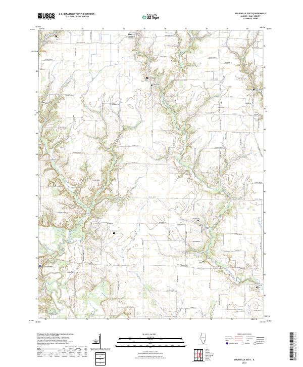 2024 Louisville East2024 Print · USGSClay County at the dawn of the twenty-twenties remains a landscape of traditional farmsteads and quiet country crossroads. Researchers can trace family history through a high density of rural burial sites like Bible Grove Cem, Lewis Cem, and Old Union Cem.
End of results
Showing maps 1-20 of 20
Top cities near Hoosier Township
- Flora historical maps
- Newton historical maps
- Louisville historical maps
- Clay City historical maps
- Noble historical maps
- Mason historical maps
See more
Top neighborhoods of Hoosier Township
Frequently asked questions
- What are the different types of historical maps available for Hoosier Township?
- What is the oldest map of Hoosier Township?
- Where can I purchase historical maps of Hoosier Township for my home or office?
- Where can I download high-res historical maps of Hoosier Township?
- Are there historical topographic maps available for Hoosier Township?
- Is there historical aerial imagery available for Hoosier Township?
- Where are historical maps of Hoosier Township sourced from?