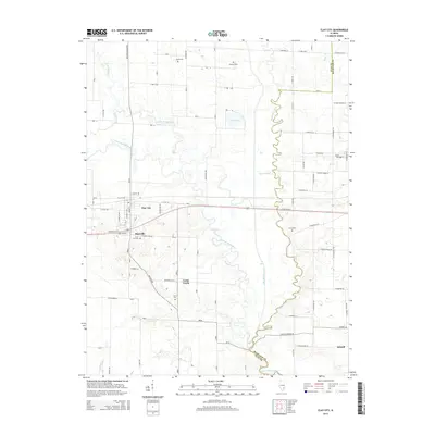
2015 Map of Clay City
USGS Topo · Published 2015About this map
The Little Wabash River meanders across this southeastern Illinois landscape, forming a complex hydrologic network with the serpentining Big Muddy Creek and Little Muddy Creek. The village of Clay City serves as a primary hub, positioned just north of Maysville and the Clay City Cem. The presence of numerous family cemeteries, such as Smith Cem, Leonard Cem, and Hanna Cem, provides a detailed record of rural land ownership and settlement patterns along the county line shared with Richland County.
Find a feature on this map
56 named features on this map. Tap any name to fly to it.
Don’t see what you’re looking for? This feature index may not catch every label — zoom into the map to look around manually.
Map Details
Editions of this 2015 Clay City Map
This is the sole edition of this map. No revisions or reprints were ever made.
Other maps of this area

1941 · Newton
USGS Topo · 1:62,500

1943 · Newton
USGS Topo · 1:62,500

1948 · Flora
USGS Topo · 1:62,500

1949 · Olney
USGS Topo · 1:62,500

1949 · Flora
USGS Topo · 1:62,500

1953 · Sailor Springs
USGS Topo · 1:62,500

1958 · Belleville
USGS Topo · 1:250,000

1962 · Belleville
USGS Topo · 1:250,000

1970 · Clay City
USGS Topo · 1:24,000

1970 · Enterprise
USGS Topo · 1:24,000