Old Maps of Carlyle, Illinois for Academic Research
Study the evolution of Carlyle with 29 high-resolution historic maps. Whether you're teaching, researching, or modeling changes in land use, these maps provide essential visual documentation of urban, environmental, and geographic change.
- Analyze long-term change: Track patterns in development, transportation, and natural features.
- Ideal for environmental or urban studies: Support academic projects with primary historical map data.
- Use in the classroom or lab: Educators and researchers rely on these maps to bring historical context to life.
These maps are a powerful tool for teaching, research, and visualizing how Carlyle has changed over the decades.
Carlyle, IL maps
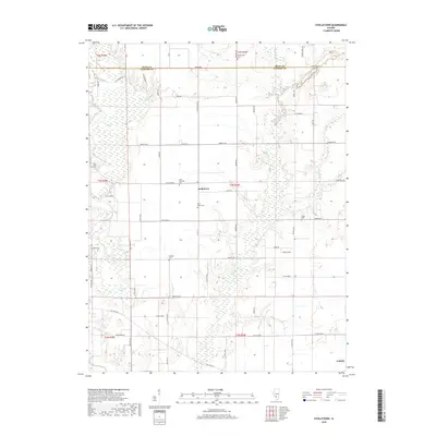
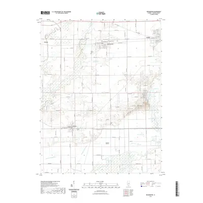
(29)- 1910 Map of Carlyle
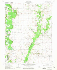
 1910 Carlyle1910 Print · USGSClinton County and the Kaskaskia River valley are captured here at a peak of rural development in the Edwardian era. Genealogists can trace a dense network of family-named landmarks including Hull School, McKendree Chapel, and the river crossing at Colmers Ferry.2 unique versions available
 - 1948 Map of Carlyle
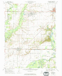
 1948 Carlyle1948 Print · USGSCarlyle and the Kaskaskia River valley are captured in the late 1940s, showing a landscape of river-bend lakes and thriving rail towns. Researchers can trace the heritage of local families at McKendree Chapel, The Mound School, and the State Fish Hatchery.
 - 1958 Map of Belleville, 1973 Print
 1958 Belleville1973 Print · USGSSouthern Illinois during the mid-twentieth century reveals a landscape of industrial growth and massive new reservoirs. Genealogists and historians can trace the paths of the Illinois Central RR through towns like Centralia or locate landmarks such as Emerald Mound and the Looking Glass Prairie.3 unique versions available
 - 1962 Map of Belleville
 1962 Belleville1962 Print · USGSSouthern Illinois in the late fifties reveals a landscape of industrial growth and ancient landmarks before the full expansion of the interstate system. Genealogists can trace family names and rural post offices near Centralia, Salem, and the historic Monks Mound.
 - 1968 Map of Stolletown, 1971 Print
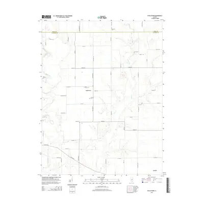
 1968 Stolletown1971 Print · USGSClinton County during the late 1960s was a landscape where traditional farming met the growing energy industry and new water management projects. Researchers can locate family landmarks like St Peters Cem, the local Ford Sch, and the emerging Carlyle Reservoir.
 - 1969 Map of Beckemeyer, 1971 Print
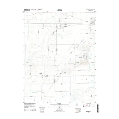
 1969 Beckemeyer1971 Print · USGSClinton County thrived as a center for rail, oil, and river trade in the late sixties. Genealogists and local historians can trace family plots at Beckemeyer Cem or St Cecelias Cem while exploring the Bartelso Oil Field and river bottomlands.
 - 1969 Map of Carlyle, 1971 Print
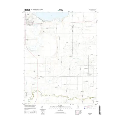
 1969 Carlyle1971 Print · USGSClinton and Washington counties appear here in the late sixties as the local landscape was being redefined by large-scale water management and oil production. Researchers can trace family sites like Posey Cem and St Marys Sch alongside the active Huey South Oil Field and the Baltimore and Ohio rail corridor.
 - 1969 Map of Keyesport, 1971 Print
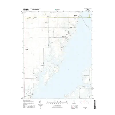
 1969 Keyesport1971 Print · USGSThe Kaskaskia River valley in the late sixties reveals a landscape shaped by the new reservoir and recreational growth. Genealogists and local historians can locate McKendree Cem, trace the Burlington Northern line, and see the Keyesport Oil Field.2 unique versions available
 - 1985 Map of Carlyle Lake
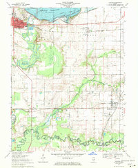
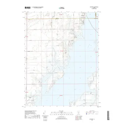
 1985 Carlyle Lake1985 Print · USGSSouthwestern Illinois in the mid-eighties shows a landscape of growing commuter suburbs and massive water management projects. Genealogists and historians can locate family plots at Lakeview Memorial Gardens Cem or trace the early footprint of Southern Illinois Univ (Edwardsville).2 unique versions available
 - 2012 Map of Carlyle, 2012 Print
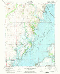
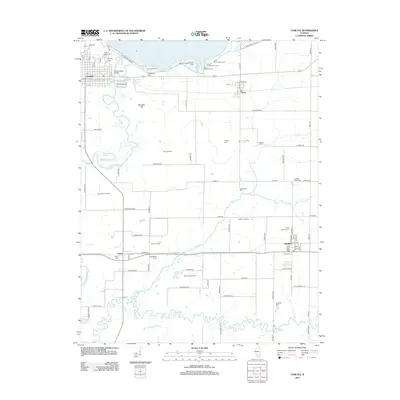 2012 Carlyle2012 Print · USGSCovers Carlyle, including Hoffman, Huey, and other nearby areas
 - 2012 Map of Keyesport, 2012 Print
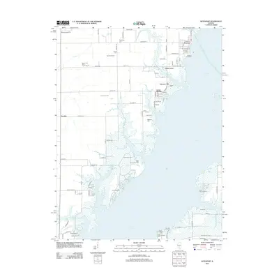 2012 Keyesport2012 Print · USGSCovers Carlyle, including Harbor Light Bay, Keyesport, and other nearby areas
 - 2012 Map of Beckemeyer, 2012 Print
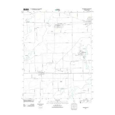 2012 Beckemeyer2012 Print · USGSCovers Carlyle, including Breese, Beckemeyer, and other nearby areas
 - 2012 Map of Stolletown, 2012 Print
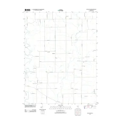 2012 Stolletown2012 Print · USGSCovers Carlyle, including Stolletown, Clinton County, and other nearby areas
 - 2015 Map of Stolletown, 2015 Print
 2015 Stolletown2015 Print · USGSCovers Carlyle, including Stolletown, Clinton County, and other nearby areas
 - 2015 Map of Keyesport, 2015 Print
 2015 Keyesport2015 Print · USGSCovers Carlyle, including Harbor Light Bay, Keyesport, and other nearby areas
 - 2015 Map of Beckemeyer, 2015 Print
 2015 Beckemeyer2015 Print · USGSCovers Carlyle, including Breese, Beckemeyer, and other nearby areas
 - 2015 Map of Carlyle, 2015 Print
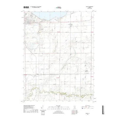
 2015 Carlyle2015 Print · USGSCovers Carlyle, including Hoffman, Huey, and other nearby areas
 - 2018 Map of Stolletown, 2018 Print
 2018 Stolletown2018 Print · USGSCovers Carlyle, including Stolletown, Clinton County, and other nearby areas
 - 2018 Map of Beckemeyer, 2018 Print
 2018 Beckemeyer2018 Print · USGSCovers Carlyle, including Breese, Beckemeyer, and other nearby areas
 - 2018 Map of Carlyle, 2018 Print
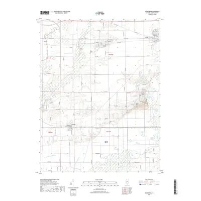
 2018 Carlyle2018 Print · USGSCovers Carlyle, including Hoffman, Huey, and other nearby areas
 - 2018 Map of Keyesport, 2018 Print
 2018 Keyesport2018 Print · USGSCovers Carlyle, including Harbor Light Bay, Keyesport, and other nearby areas
 - 2021 Map of Beckemeyer, 2021 Print
 2021 Beckemeyer2021 Print · USGSCovers Carlyle, including Breese, Beckemeyer, and other nearby areas
 - 2021 Map of Stolletown, 2021 Print
 2021 Stolletown2021 Print · USGSCovers Carlyle, including Stolletown, Clinton County, and other nearby areas
 - 2021 Map of Carlyle, 2021 Print
 2021 Carlyle2021 Print · USGSCovers Carlyle, including Hoffman, Huey, and other nearby areas
 - 2021 Map of Keyesport, 2021 Print
 2021 Keyesport2021 Print · USGSCovers Carlyle, including Harbor Light Bay, Keyesport, and other nearby areas
Showing maps 1-25 of 29
Top cities near Carlyle
- Centralia historical maps
- Breese historical maps
- Aviston historical maps
- Okawville historical maps
- Germantown historical maps
- Beckemeyer historical maps
See more
Frequently asked questions
- What are the different types of historical maps available for Carlyle?
- What is the oldest map of Carlyle?
- Where can I purchase historical maps of Carlyle for my home or office?
- Where can I download high-res historical maps of Carlyle?
- Are there historical topographic maps available for Carlyle?
- Is there historical aerial imagery available for Carlyle?
- Where are historical maps of Carlyle sourced from?