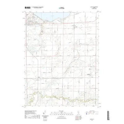
2021 Map of Carlyle
USGS Topo · Published 2021About this map
The General Dean Bridge spans the Kaskaskia River at Carlyle, a town anchored by its relationship to the massive Carlyle Lake to the north. This modern landscape is defined by extensive water management, including the Saddle Dam 2 Leeve and Carlyle Dam Rd, which control the drainage into the Kaskaskia basin. The surrounding terrain is a mix of agricultural flats and rolling elevations like Corcoran Hill and Schaeffer Hill.
Find a feature on this map
57 named features on this map. Tap any name to fly to it.
Don’t see what you’re looking for? This feature index may not catch every label — zoom into the map to look around manually.
Map Details
Editions of this 2021 Carlyle Map
This is the sole edition of this map. No revisions or reprints were ever made.
Other maps of this area

1910 · Carlyle
USGS Topo · 1:62,500

1914 · Centralia
USGS Topo · 1:62,500

1931 · Hoyleton
USGS Topo · 1:48,000

1932 · Nashville
USGS Topo · 1:62,500

1935 · Centralia
USGS Topo · 1:62,500

1936 · Nashville
USGS Topo · 1:62,500

1943 · Ashley
USGS Topo · 1:62,500

1946 · Ashley
USGS Topo · 1:62,500

1948 · Carlyle
USGS Topo · 1:62,500

1958 · Belleville
USGS Topo · 1:250,000