
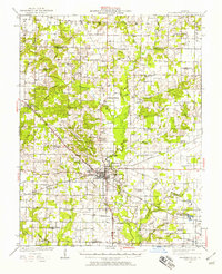
1946 Map of Ashley
USGS Topo · Published 1946About this map
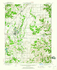
Ashley and Radom serve as central nodes for this Southern Illinois landscape in the mid-1940s, where an exceptionally dense network of rural schoolhouses and churches defined the social geography. Named landmarks like the Blissville Polling House and the I. C. R. R. Reservoir near Ashley point to a community structured around both civil participation and the essential steam-era needs of the Illinois Central railroad.
Find a feature on this map
82 named features on this map. Tap any name to fly to it.
Don’t see what you’re looking for? This feature index may not catch every label — zoom into the map to look around manually.
Map Details
Editions of this 1946 Ashley Map
This is the sole edition of this map. No revisions or reprints were ever made.
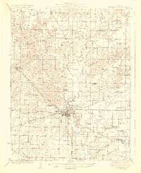
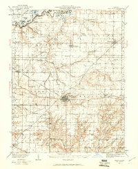
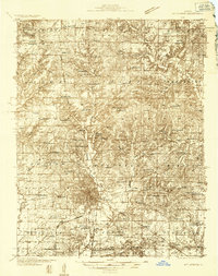
Other maps of this area

1910 · Carlyle
USGS Topo · 1:62,500

1914 · Centralia
USGS Topo · 1:62,500
1924 · Pinckneyville
USGS Topo · 1:62,500
1926 · Pinckneyville
USGS Topo · 1:62,500

1926 · Duquoin
USGS Topo · 1:62,500

1931 · Hoyleton
USGS Topo · 1:48,000
1932 · Nashville
USGS Topo · 1:62,500
1933 · Mount Vernon
USGS Topo · 1:48,000
1934 · Salem
USGS Topo · 1:62,500

1935 · Centralia
USGS Topo · 1:62,500