Old Maps of Mattoon, Illinois for Academic Research
Study the evolution of Mattoon with 29 high-resolution historic maps. Whether you're teaching, researching, or modeling changes in land use, these maps provide essential visual documentation of urban, environmental, and geographic change.
- Analyze long-term change: Track patterns in development, transportation, and natural features.
- Ideal for environmental or urban studies: Support academic projects with primary historical map data.
- Use in the classroom or lab: Educators and researchers rely on these maps to bring historical context to life.
These maps are a powerful tool for teaching, research, and visualizing how Mattoon has changed over the decades.
Mattoon, IL maps
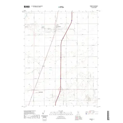
(29)- 1934 Map of Mattoon, 1967 Print
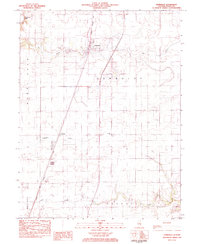
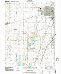
 1934 Mattoon1967 Print · USGSThe rail hubs and rural townships of East Central Illinois are captured here in the mid-1930s. Genealogists and local historians can trace the foundations of Mattoon and Neoga while locating family landmarks like Old Bethel Ch or the Little Brick Sch.2 unique versions available
 - 1935 Map of Arcola
 1935 Arcola1935 Print · USGSCentral Illinois farming communities thrived along the Illinois Central and Pennsylvania rail lines in the 1930s. Genealogists can trace family roots through numerous rural landmarks like Yoder Cem, Quinn Chapel, and Pulltight Sch.3 unique versions available
 - 1937 Map of Mattoon
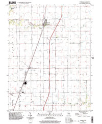
 1937 Mattoon1937 Print · USGSThe rail hubs of Mattoon and Neoga are shown in the late 1930s, surrounded by a dense network of country schools and family cemeteries. Trace ancestral roots at Aetna Etna PO, Johnstown, or the many rural schoolhouses like South Loxa Sch.3 unique versions available
 - 1940 Map of Arcola
 1940 Arcola1940 Print · USGSThe Douglas and Coles County borderlands come alive in this pre-war portrait of central Illinois agricultural life. Researchers can trace dozens of rural school sites such as Pulltight Sch and Little Red Sch, alongside old rail corridors like the Illinois Central.
 - 1958 Map of Decatur, 1971 Print
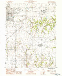
 1958 Decatur1971 Print · USGSCentral Illinois in the mid-twentieth century shows a landscape defined by industrial rail hubs and the creation of large reservoirs. Researchers can trace historic corridors like the Penn Central or locate landmarks such as Lincoln Log Cabin State Park and Lake Springfield.3 unique versions available
 - 1961 Map of Decatur
 1961 Decatur1961 Print · USGSCentral Illinois in the late fifties was a bustling corridor of rail lines and prairie commerce centered on the state capital. Genealogists and historians can trace the intricate connections between Springfield, Decatur, and dozens of smaller settlements like Nokomis and Arcola.2 unique versions available
 - 1983 Map of Humboldt
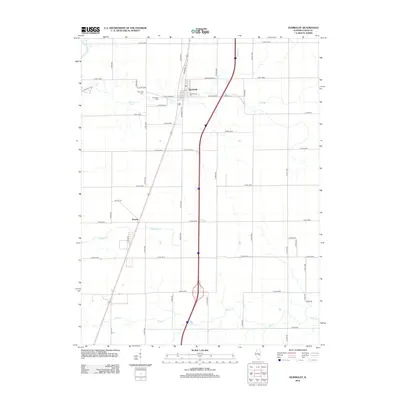
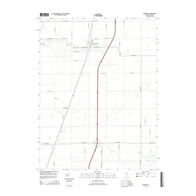
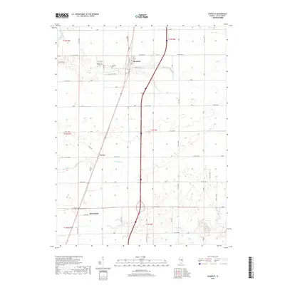
 1983 Humboldt1983 Print · USGSHumboldt and its neighboring prairie settlements are captured in the early 1980s as agricultural life and rail transport intersected in Coles County. Genealogists and local historians can trace the community through St Pauls Ch, Humboldt Cem, and the small siding at Dorans.
 - 1984 Map of Mattoon East, 1985 Print
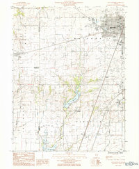
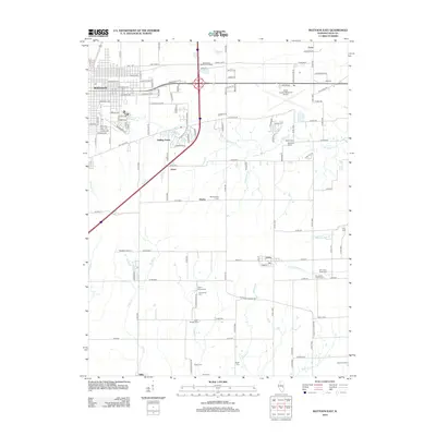
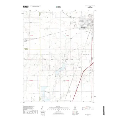
 1984 Mattoon East1985 Print · USGSColes County in the mid-1980s shows the eastern expansion of Mattoon into the surrounding prairies and creek valleys. Genealogists and local historians can trace the rail networks of the Illinois Central Gulf through small communities like Lerna, Loxa, and Trilla.
 - 1984 Map of Mattoon West, 1985 Print
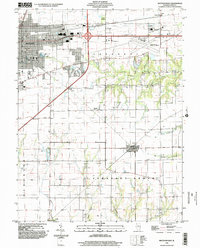
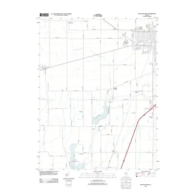
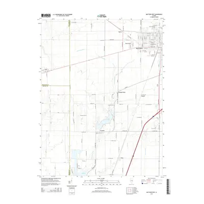
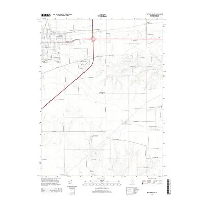
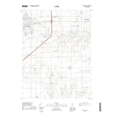
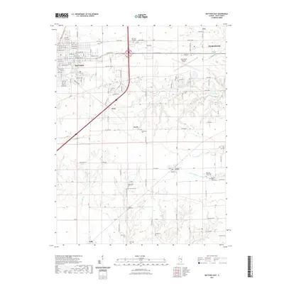
 1984 Mattoon West1985 Print · USGSThe western edge of Mattoon and its neighboring rural townships are captured here in the early 1980s. Local researchers can trace the development of Lake Land Jr College, the expansion of the Oil Field, and rail-side settlements like Gays and Etna.
 - 1985 Map of Decatur
 1985 Decatur1985 Print · USGSCentral Illinois farming and rail hubs thrive in the mid-1980s as Decatur anchors a sprawling network of track and timber. Trace the paths of the Sangamon River and the Illinois Central Gulf RR through old towns like Cerro Gordo and Bement.2 unique versions available
 - 1986 Map of Effingham
 1986 Effingham1986 Print · USGSCentral Illinois during the mid-eighties was a hub of rail travel and water recreation centered on the new reservoirs. Genealogists and historians can trace the rural landscape between Mattoon and Effingham, locating landmarks like St Paul Ch and Eagle Creek State Park.2 unique versions available
 - 1998 Map of Mattoon East, 2002 Print
 1998 Mattoon East2002 Print · USGSThe eastern edge of Mattoon and the agricultural heart of Coles County are shown here at the turn of the millennium. Researchers can locate the small settlements of Lerna and Loxa or trace the winding paths of Kickapoo Creek and Indian Creek.
 - 1998 Map of Mattoon West, 2002 Print
 1998 Mattoon West2002 Print · USGSMattoon and the prairie townships of Coles County are captured here at the close of the millennium. Local historians can trace the development of Lake Land Jr College and old rail stops like Gays and Etna alongside the waters of Paradise Lake.
 - 1998 Map of Humboldt, 2003 Print
 1998 Humboldt2003 Print · USGSColes County at the close of the twentieth century shows a landscape defined by prairie drainage and rail transit. Genealogists and local historians can trace family plots at Township Cem or locate the community foundations of Humboldt and Dorans.
 - 2012 Map of Mattoon West, 2012 Print
 2012 Mattoon West2012 Print · USGSCovers Mattoon, including Paradise, Gays, and other nearby areas
 - 2012 Map of Mattoon East, 2012 Print
 2012 Mattoon East2012 Print · USGSCovers Mattoon, including Charleston, Lerna, and other nearby areas
 - 2012 Map of Humboldt, 2012 Print
 2012 Humboldt2012 Print · USGSCovers Mattoon, including Humboldt, Dorans, and other nearby areas
 - 2015 Map of Humboldt, 2015 Print
 2015 Humboldt2015 Print · USGSCovers Mattoon, including Humboldt, Dorans, and other nearby areas
 - 2015 Map of Mattoon West, 2015 Print
 2015 Mattoon West2015 Print · USGSCovers Mattoon, including Paradise, Gays, and other nearby areas
 - 2015 Map of Mattoon East, 2015 Print
 2015 Mattoon East2015 Print · USGSCovers Mattoon, including Charleston, Lerna, and other nearby areas
 - 2018 Map of Mattoon West, 2018 Print
 2018 Mattoon West2018 Print · USGSCovers Mattoon, including Paradise, Gays, and other nearby areas
 - 2018 Map of Humboldt, 2018 Print
 2018 Humboldt2018 Print · USGSCovers Mattoon, including Humboldt, Dorans, and other nearby areas
 - 2018 Map of Mattoon East, 2018 Print
 2018 Mattoon East2018 Print · USGSCovers Mattoon, including Charleston, Lerna, and other nearby areas
 - 2021 Map of Mattoon East, 2021 Print
 2021 Mattoon East2021 Print · USGSCovers Mattoon, including Charleston, Lerna, and other nearby areas
 - 2021 Map of Humboldt, 2021 Print
 2021 Humboldt2021 Print · USGSCovers Mattoon, including Humboldt, Dorans, and other nearby areas
Showing maps 1-25 of 29
Top cities near Mattoon
- Charleston historical maps
- Arcola historical maps
- Neoga historical maps
- Greenup historical maps
- Paradise historical maps
- Toledo historical maps
See more
Top neighborhoods of Mattoon
Frequently asked questions
- What are the different types of historical maps available for Mattoon?
- What is the oldest map of Mattoon?
- Where can I purchase historical maps of Mattoon for my home or office?
- Where can I download high-res historical maps of Mattoon?
- Are there historical topographic maps available for Mattoon?
- Is there historical aerial imagery available for Mattoon?
- Where are historical maps of Mattoon sourced from?